Springville, California
Looking for the best rock climbing in Springville? We've got you covered with the top trails, trips, hiking, backpacking, camping and more around Springville. The detailed guides, photos, and reviews are all submitted by the Outbound community.
Top Rock Climbing Spots in and near Springville
-
Kernville, California
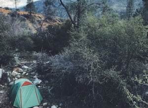
Dispersed Camp along Salmon Creek in Sequoia NF
There are several dispersed campsites found throughout the Sequoia National Forest. The majority can be found by driving on any of the OHV accessible roads. This particular campsite can be found at coordinates 35.89759, -118.4628. In order to get to the campsite, use Google Maps to get you to the...Read more -
Inyo County, California
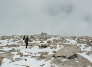
Summit Mount Whitney via the Mountaineers Route
5.05 mi / 6600 ft gainWith over 6,600 feet of elevation gain and class 4 climbing, this is not for the casual hiker, but can provide an excellent challenge to a budding mountaineer.Park your car at Whitney Portal, 12 miles west of the town of Lone Pine, and start up the main Whitney Trail. After 1 mile you will encou...Read more -
Inyo County, California
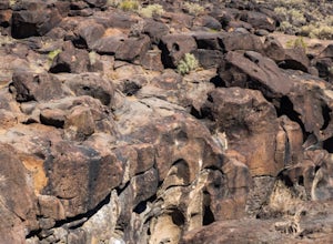
Fossil Falls Trail
4.30.58 mi / 43 ft gainFossil Falls is located east of Highway 395, a few miles south of Coso Junction, 45 min north of Ridgecrest. There is Bureau of Land Management sign pointing the way, but it is small, faded, and easy to miss, so be on the lookout. After about a mile drive on a marked dirt road, you'll reach the ...Read more -
Tulare County, California
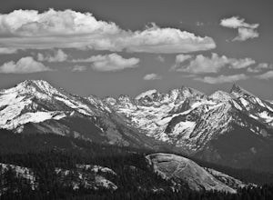
Hike to the Summit of Big Baldy, Kings Canyon National Park
4.55 mi / 650 ft gainThis short and easy trail to the summit of Big Baldy in Kings Canyon National Park is not to be missed if you are in the area.The trail winds through forest and boulders as it climbs the north shoulder of Big Baldy. When you think you have reached the end, and you see people sitting down with the...Read more -
Lone Pine, California
Rock Climb the Candy Store
The Candy Store is a group of boulders and small spires with around 30 climbing routes ranging from 5.6 to 5.11. The majority are trad routes with a significant portion toprope and a couple of sport. The major features/boulders are: First BoulderThe GumdropLollipop BoulderRock Candy TowerSecond B...Read more -
Inyo County, California
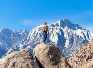
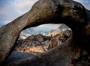
Camp in the Alabama Hills
4.8The Alabama Hills Recreation Area is a area owned by BLM and open to the public. Camping is free and you can say for a max of 14 days.The are has 100+ open desert sites that are shadowed by some of the tallest peaks in the Sierra Nevada range. And if that wasn't enough, the area was the backdrop ...Read more -
Seven Pines, California
Mt. Williamson via Shepherd Pass
5.026.66 mi / 10653 ft gainThis trail starts at the lowest, and generally regarded hardest, trailhead in the Southern Sierras. You quickly gain elevation in what many describe as manageable but relentless. The first section of the hike has nice shade and adequate water access. Very enjoyable company to boot! Once you cros...Read more

