Somes Bar, California
Looking for the best hiking in Somes Bar? We've got you covered with the top trails, trips, hiking, backpacking, camping and more around Somes Bar. The detailed guides, photos, and reviews are all submitted by the Outbound community.
Top Hiking Spots in and near Somes Bar
-
Crescent City, California
Devil's Punchbowl, Six Rivers National Forest
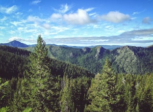
4.08.33 mi / 1660 ft gainLocated in extreme Northern California, the Siskiyou Mountains are the largest sub-range of the Klamath Mountain range and among the most rugged. The Siskiyou Wilderness, designated in 1984, encompasses three national forests: Siskiyou, Klamath and Six Rivers for a total of 182,802 acres. Because...Read more -
Klamath, California
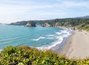
Hike to the Klamath River Outlook
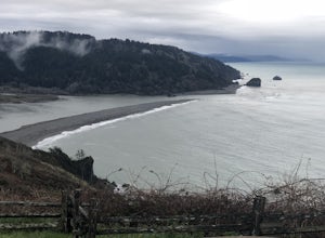
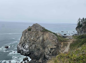
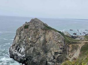
3.01 mi / 500 ft gainFun drive on Requa Road off 101 takes you to a great little outlook. Take the trail descent down to the beach or connect with the CA Coastal trails for a three or four mile jaunt to either Hidden Beach or Lagoon Creek Beach. This spot is a local gem with minimal visitors. It also offers a likely ...Read more -
Forks of Salmon, California
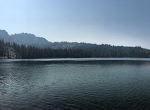
Hike to the Caribou Lakes, Shasta-Trinity Alps
4.016 mi / 3000 ft gainHike through the most majestic and unforgettable mountain ranges, alpine terrains, glacier lakes outside of the Sierra Nevada in Northern California. Yes, it's a long drive there and a lengthy hike, but if you have any doubts about whether this is worth the effort, just go! I struggled with the s...Read more -
Klamath, California
Hike the Yurok Loop Trail
4.01 mi / 20 ft gainThe Yurok Loop Trail is a small loop on the northern end of the growing California Coastal Trail. This family-friendly hike starts at a picturesque lagoon near False Klamath Cove before crossing a bridge and entering the Sitka spruce forest. From the trail junction, you have the choice of passin...Read more -
Del Norte County, California
Backpack to Raspberry Lake
1.012 mi / 1800 ft gainIf you wish to experience the beauty of the Siskiyou Wilderness and avoid the crowds associated with The Devil’s Punchbowl, then consider a visit to Raspberry Lake. Beginning at the Young’s Valley Trailhead (Coordinates: 41.889919, -123.654755), this hike is a great option for those seeking wide...Read more -
Klamath, California
Damnation Creek Trail
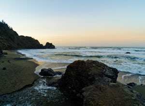
Located right on Highway 101, the Damnation Creek Trail is one of the best trails in Redwood National and State Parks. What makes this trail so special is that the hiker gets to experience nearly all of the various ecosystems within the park in only a few short miles. The trail descends from an a...Read more -
Trinidad, California
Wedding Rock Trail
5.00.23 mi / 85 ft gainWedding Rock Trail is an out-and-back trail where you may see wildflowers located near Trinidad, California.Read more -
Trinidad, California
Patrick's Point Trail
5.00.21 mi / 92 ft gainPatrick's Point Trail is an out-and-back trail where you may see wildflowers located near Trinidad, California.Read more -
Trinidad, California
Strawberry Rock Trail
5.02.99 mi / 505 ft gainTo get there: From the south, take the Trinidad exit, from which you will take a slight left/ go straight onto Trinidad Frontage rd. From The north, get off at the Trinidad exit, cross under the freeway, and take a left on Trinidad Frontage rd. Once on Trinidad Frontage rd, go straight to the end...Read more -
Junction City, California
Scramble Thompson Peak
4.022.7 mi / 6100 ft gainThis adventure begins at the Canyon Creek Lakes in the Trinity Alps wilderness. Park at the Canyon Creek Trailhead near Junction City and hike the well-maintained and easy-to-follow trail for 8 miles. Once you reach the Canyon Creek Lakes, your off-trail adventure officially begins. I’d recommend...Read more -
Junction City, California
Backcountry Camp in the Canyon Creek Drainage
9 mi / 2600 ft gainThe first half of the Canyon Creek Drainage is one of the most popular destinations within the Trinity Alps, but the second half goes largely unexplored and uninhabited by sojourners. Four peaks – Thompson Peak, Wedding Cake, Mt. Hilton, and Sawtooth Peak – surround the basin and offer adventurer...Read more -
Junction City, California
Canyon Creek Lakes
4.314.35 mi / 2605 ft gainNumerous starting points with over 550 miles of trail and easily 50+ different featured trails depending on length and what type of activity you are are looking for. One of the more popular trails, and rightfully so, is Canyon Creek Lakes Trail. This 16 mile roundtrip hike has an overall elevatio...Read more -
Trinidad, California
Hike Trinidad Head
4.81.5 mi / 300 ft gainPark in the large parking lot at Trinidad Beach. The trailhead is at the south end of the parking lot. The loop trail can be hiked in either direction.The trail is half dirt singletrack, half paved switchbacks, and climbs steadily to the top of Trinidad Head. The view of the ocean and California ...Read more -
Trinity Center, California
Stoddard Lake
5.07.01 mi / 1325 ft gainThe trail is a bit rocky, so wear sturdy hiking boots or trail runners. While your elevation gain is only 800 total, you will travel upwards of 1,982ft in elevation given the ups and downs of the trail. At mile 1.75, there is a spring that feeds into a large meadow. At mile 3, there is another sp...Read more -
Crescent City, California
Camp at Nickel Creek
4.05 mi / 300 ft gainFirst, check in at the Crescent City Ranger Information Center in Crescent City to pick up your free backcountry permit and get permission to park your car at the Crescent City Beach Education Center off of Enderts Beach Road. This is the safest place to park at due to numerous car break-ins at t...Read more -
Crescent City, California
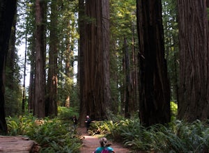
Hike Stout Grove via the Stout Grove Trailhead
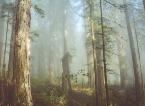
4.50.6 miMarked with adequate signage, parking for the Stout Grove Trailhead is off Highland Hill Road, a road through the south end of the park. It's a narrow, dirt road so be cautious traveling through the state park. Pit toilets are available in the parking area. The trail is a .6-mile loop. It is wide...Read more

