Sierra County, California
Looking for the best hiking in Sierra County? We've got you covered with the top trails, trips, hiking, backpacking, camping and more around Sierra County. The detailed guides, photos, and reviews are all submitted by the Outbound community.
Top Hiking Spots in and near Sierra County
-
Truckee, California
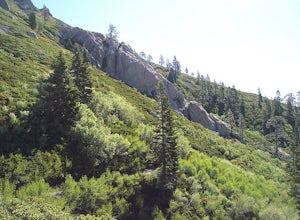
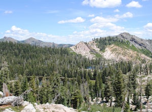
The Five Lakes Hike
4.0The Five Lakes Trail is located in the Granite Chief Wilderness in between Alpine Meadows and Squaw Valley ski resorts and is easily accessible at the intersection of Alpine Meadows and Deer Park roads. The 5-mile moderate trail ascends approximately 900-1000 ft. along granite canyons and pine f...Read more -
Reno, Nevada
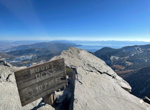
Mt. Rose Summit Loop
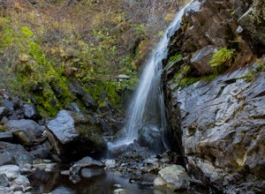
5.010.74 mi / 2392 ft gainThis challenging hike offers great views of the greater Tahoe area. The first part of the hike to the waterfall is relatively easy, but once you pass that, you'll be doing a decent climb to the summit. During the summer months, you'll want to get an early start as there can be a decent crowd head...Read more -
Reno, Nevada
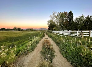
Anderson Park Loop
4.01.64 mi / 92 ft gainAnderson Park Loop is a popular trail for walking or running tucked away in a quiet neighborhood near Reno, Nevada. The trail loops around a pasture and connects up to Bartley Ranch for a longer or more scenic route. Take in scenic views of the surrounding mountains, but there may be some traf...Read more -
Incline Village, Nevada
Quick Hike and Photo Op at Stateline
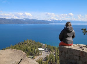
5.02 miThis quick 2-mile RT hike takes you to a lookout point above the Stateline of California and Nevada. The road to the lookout is paved so beginners can make the trek to the top in the summer; winter covers the road with snow, so snowshoes or boots are recommended. The lookout offers spectacular vi...Read more -
Incline Village, Nevada
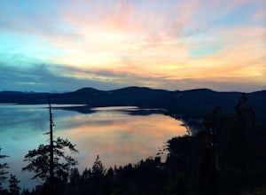
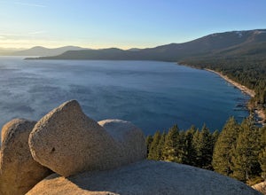
Walk to the Historic Stateline Fire Lookout site
5.01.8 mi / 340 ft gainThe hike up to the Historic Stateline Fire Lookout above Lake Tahoe's Crystal Bay area is somewhat of a misnomer, as the fire lookout no longer exists. Instead, the path, which follows a paved forest road, up to the site where the tower once stood will bring hikers to a panoramic viewpoint that l...Read more -
Nevada City, California
Bowman Road and Meadow Lake Road to Henness Pass
3.035.45 mi / 4895 ft gainBowman Road and Meadow Lake Road to Henness Pass is a point-to-point trail that takes you by a lake located near Alta, California.Read more -
Tahoe City, California
Purple Trail and Burton Creek Loop
3.76 mi / 492 ft gainBurton Creek State Park is a moderate hike. It is a secluded peaceful hike that offers amazing views of the lake. This is a popular spot for mountain bikers, but is also ideal for hiking. Much of the trail is through the forest and there are many maps and signs pointing out the trails. The hike ...Read more -
Reno, Nevada
Huffaker Park Lookout Trail
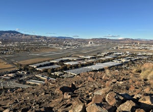
4.01.88 mi / 308 ft gainHuffaker Park Lookout Trail is a loop trail where you may see beautiful wildflowers located near Reno, Nevada.Read more -
Olympic Valley, California
Hike to Lake Estelle and Five Lakes
6 mi / 1000 ft gainThis hike starts at Alpine Meadows Base Camp and finishes on Alpine Meadows Road. The end point is less than a half mile from the base, and an easy walk up a slight hill. Park at base camp and head on the trail to the far right of all of the lifts. Proceed up the trail for half a mile (this is th...Read more -
Nevada City, California
Emerald Pools
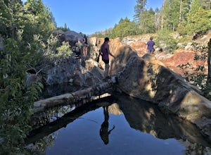
4.00.68 mi / 49 ft gainEmerald Pools is an out-and-back trail that takes you by a river located near Emigrant Gap, California.Read more -
Plumas County, California
Hike to Little Jamison Falls
3.02 mi / 500 ft gainTo get to the falls from the town of Graeagle, CA take Graeagle-Johnsville off Highway 89 towards the town of Johnsville. After 4.5 miles take a left on a dirt road to Jamison Mine Day Use Parking. If you go over the bridge and into the town of Johnsville, you have gone too far. Continue down th...Read more -
Reno, Nevada
Rattle Snake Mountain
4.01.49 mi / 371 ft gainRattle Snake Mountain is an out-and-back trail that takes you past scenic surroundings located near Reno, Nevada.Read more -
Sparks, Nevada
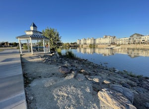
Sparks Marina Loop
3.01.94 mi / 30 ft gainSparks Marina Loop is a loop trail that takes you by a lake located near Sparks, Nevada.Read more -
Incline Village, Nevada
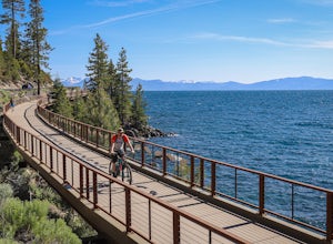
Bike or Take a Stroll along the Tahoe East Shore Trail
5.02.75 mi / 300 ft gainLake Tahoe's East Shore Trail is a wide paved walking and cycling path running between Incline Village and Sand Harbor State Park. Opened in 2019, the path lies completely separate from the road, sometimes hovering well above it on the mountainside, and other times running parallel to it on a bri...Read more -
Incline Village, Nevada
Monkey Rock
4.72.64 mi / 463 ft gainMonkey Rock is an out-and-back trail that takes you by a lake located near Incline Village-Crystal Bay, Nevada.Read more -
Tahoe City, California
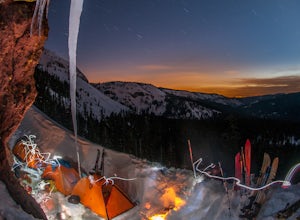
Ride Twin Peaks in Lake Tahoe's Backcountry
This trip is best done in two days with an approach day and then a descent day. Get started at the base of the Sherwood Chair on the backside of the Alpine ski area. Head up, outside of the ski area boundary toward the high ridge.Once on the ridge, you follow it south for a few miles until reachi...Read more

