Sierra City, California
Looking for the best photography in Sierra City? We've got you covered with the top trails, trips, hiking, backpacking, camping and more around Sierra City. The detailed guides, photos, and reviews are all submitted by the Outbound community.
Top Photography Spots in and near Sierra City
-
Reno, Nevada
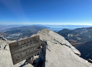
Mt. Rose Summit Loop
5.010.74 mi / 2392 ft gainThis challenging hike offers great views of the greater Tahoe area. The first part of the hike to the waterfall is relatively easy, but once you pass that, you'll be doing a decent climb to the summit. During the summer months, you'll want to get an early start as there can be a decent crowd head...Read more -
Washoe County, Nevada
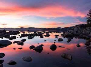
Sand Harbor Nature Trail
4.50.54 mi / 33 ft gainWhile Sand Harbor Park is a popular summer destination, the sunsets from this spot are breathtaking year round and you will have less company in the winter. The park is located right off of Highway 28 and has an admission fee of $7. There is a parking lot that fills up quickly in the summer, so a...Read more -
Tahoma, California
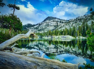
Backpack to Crag Lake
4.011.1 mi / 1220 ft gainDay 1:This trip is a great early season trip while you are waiting for the snow to melt in the high country or it could be a good first backpacking trip because of its proximity to the trailhead and the fact that it's a relatively easy hike. Also, you get to camp by a beautiful lake with a drama...Read more -
New Washoe City, Nevada
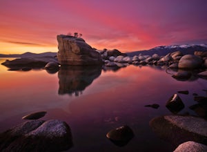
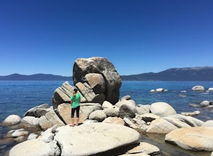
Photograph Bonsai Rock
5.0Bonsai Rock is a popular attraction for photographers as it is a unique boulder with tiny trees growing out of it, enclosed next to the shoreline. This makes it a beautiful place to enjoy a scenic sunset, as well as play with some long exposure photography.It's located on the east side of Lake Ta...Read more -
Carson City, Nevada
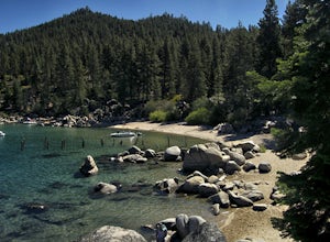
Relax at Tahoe's Chimney Beach
5.02.2 miLocated on the East Bank of Lake Tahoe along Highway 28, Chimney Beach is a great alternative to the more popular and heavily used beaches which can be quite a challenge to gain access due to the parking limitations during the busy summer months and on weekends.From the parking area on the east s...Read more -
Carson City, Nevada
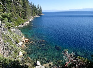
Hike to Skunk Harbor
4.5The parking for Skunk Beach is very limited and a little difficult to find. Make sure you get there early if you want a spot. The parking is a turnoff along highway 28, about two miles north of the junction with highway 50. There is no trail sign or anything but there is an old green pipe gate wh...Read more -
Oroville, California
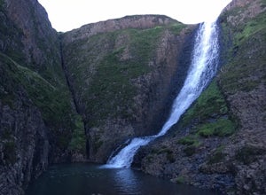
Hike to Hollow Falls
5.01 miThe first step of this fun little hike is to park at the handy parking lot located at 2488 Cherokee Rd., Oroville, CA up on Table Mountain. Many people park here for the hike to the more well-known Phantom Falls, which is a much longer hike than the one to Hollow Falls. From the lot, look for an ...Read more -
Oroville, California
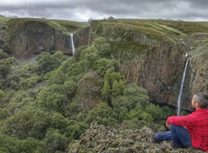
Hike to Phantom Falls
4.64.2 mi / 850 ft gainDropping off a 135 ft cliff is a very well hidden waterfall with no trails leading to it. But if you do find it, it is an epic natural wonder.It is best to come here in the winter months, after a lot of rain. But it is also well worth coming in the spring when the wildflowers on Table Mountain ar...Read more -
South Lake Tahoe, California
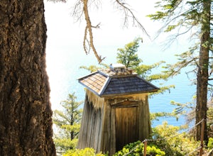
Hike the Lighthouse Trail at D.L. Bliss State Park
4.82.3 mi / 505 ft gainThe Lighthouse Trail is a 2.3 mile loop located in D.L. Bliss State Park on the lower west side of world famous Lake Tahoe. To get the trail, enter the park through the main entrance ($10 parking fee), the follow the road until you see two parking areas of the left side with about 6 or 7 spots e...Read more -
South Lake Tahoe, California
Hike the Rubicon Trail
5.07 mi / 400 ft gainThe Rubicon Trail is a through hike connecting D.L. Bliss State Park and Emerald Bay State Park. You can start at either point. I opted to start at D.L. Bliss State Park to avoid the long walk uphill to catch the Nifty Fifty shuttle. Also, there is more available parking at Bliss. Park your c...Read more -
Kyburz, California
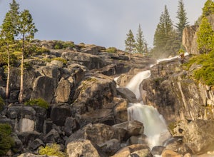
Hike to Bassi Falls
4.61.22 mi / 194 ft gain109' tall Bassi Falls is located in the Crystal Basin area of the El Dorado National Forest. These gorgeous falls at peak Springtime flow crash over enormous boulders and the water sheets over huge, flat slabs of granite. It is located off a rural, pot-holed dirt road (high clearance vehicles re...Read more -
Reno, Nevada
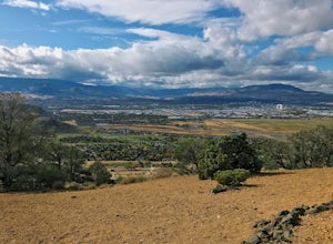
Hidden Valley County Park Loop
4.04.23 mi / 1207 ft gainThis is the hidden sight of Hidden Valley. Head south down Hidden Valley Drive from Mira Loma and turn right on Mia Vista Drive until you get to the parking lot for Hidden Valley Regional Park. Watch out for wild horses on all roads leading in and throughout your hike. There are hundreds of trail...Read more -
South Lake Tahoe, California
Boulder at D.L. Bliss State Park
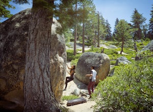
This place is bouldering heaven. Short approach to the first boulders, challenging routes for every level, good landings, and set in a beautiful area. It's like Bishop, but without the long drive.Technically you can come anytime in the season, but it is highly suggested to get a morning session i...Read more -
Auburn, California
Hike to the North Fork Dam of Lake Clementine
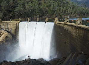
5.04 miLocated only roughly 40 minutes from Sacramento. This trail will allow you to view and walk under the 5th largest bridge in the US as well as enjoy the waterfall spectacle of a top releasing Dam. Once reaching Old Foresthill Road from the town of Auburn, drive over the smaller bridge spanning the...Read more

