Scotts Valley, California
Top Spots in and near Scotts Valley
-
Monterey, California
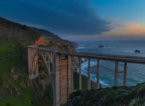
You can't miss this bridge if you are driving north on highway one.
The best time for capturing sunsets behind the bridge is December. The positioning of the sun will better coincide with the location of the bridge.There are four main angles to capture the bridge:
The first two are up close on ...
Read more
-
Pacifica, California
5.0
2.51 mi
/ 558 ft gain
Found this hike with some friends after spending some time googling in my car when we were in the area looking for a quick hike with a view!
Dog friendly Free parking (but quite limited) Ocean views Known to have gorgeous wildflower blooms (we were not there during this)Porta-potty type toilet...
Read more
-
Pacifica, California
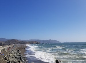
A medium size beach with darker sand with big rocks and a paved path for walkers and joggers. The beach is a great place to bring a picnic and watch the sunset. It is located next to Pacifica Pier, which is popular for fishing.
Read more
-
Pacifica, California
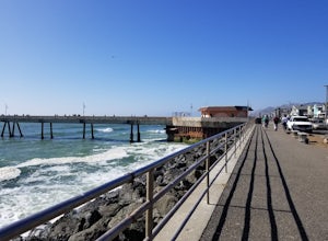
This is a great place for fishing or just taking a walk to watch the sunset. It's a great place to walk or jog, or even bring a pup! There are lot of people fishing throughout the pier.
A short walk away is Sharp Park Beach, where you can relax and bring a picnic to watch the sunset.
Read more
-
Carmel-by-the-Sea, California
3.5
13.18 mi
/ 3645 ft gain
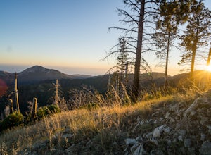
Backpacking to Pat Springs is a way to see Big Sur and the San Lucia mountains from a perspective that few get to experience. The Ventana Wilderness is rugged and remote, yet Pat Springs is one of the most beautiful campgrounds around that will allow you to take in this amazing terrain.
To get ...
Read more
-
San Francisco, California
5.0
16.71 mi
/ 1975 ft gain
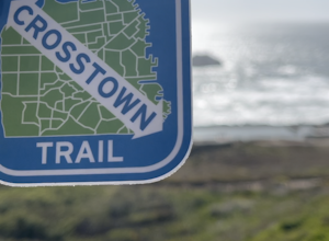
The San Francisco Crosstown Trail runs point-to-point from Candlestick Point to Land End.
The SF Crosstown Trail officially opened in 2014. It connects park trails to neighborhoods and communities. In it's in entirety it's almost 17 miles long with 5 Sections available for those looking to bre...
Read more
-
Daly City, California
4.0
1.95 mi
/ 322 ft gain
Mussel rock, a three-story, 50 million year old rock that has been carried some 500 miles northwest from Southern California, is where the San Andreas fault meets the Pacific Ocean.
It's also an excellent spot to drink some wine and catch a sunset.
From San Francisco, take Highway 1 south towar...
Read more

