Santa Cruz County, California
For top outdoor adventures in Santa Cruz County, California, the Skyline to the Sea Trail is a must-visit. This scenic 29.5-mile trail takes you from the crest of the Santa Cruz Mountains to the Pacific Ocean, offering breathtaking views of redwood forests, waterfalls, and creeks along the way. The trail is moderately difficult, making it suitable for most hikers. For a shorter hike, try the 4.7-mile Wilder Ranch State Park Loop, which features stunning ocean views and historic farm buildings. For a unique outdoor attraction, visit the Natural Bridges State Beach, home to a natural rock arch in the sea. So, if you're looking for the best trails and outdoor activities, Santa Cruz County has plenty to offer.
Top Spots in and near Santa Cruz County
-
Belmont, California
Hike San Mateo's Sugarloaf Mountain
5.01.5 mi / 500 ft gainSugarloaf is tucked away in Laurelwood Park which is located in a residential neighborhood right off of Hwy 92 in San Mateo, making this a great hiking & trail running option for Peninsula residents.I always park on Glendora Dr. and follow the paved path down towards the playground. At the bo...Read more -
Half Moon Bay, California
Camp at Francis Beach Campground
4.0If you love to log as much water time as possible, this little gem is the campsite for you. Half Moon Bay State Beach is actually four smaller beaches, with a total of two miles of sandy shore, but you'll be camping right at Kelly Ave., one of Half Moon Bay's most consistent surf spots. Keep in m...Read more -
Half Moon Bay, California
Hike Along the Half Moon Bay Coastal Trail
4.65 mi / 104 ft gainStart at the visitor center along Kelly Avenue. Take note that the day parking fee is $10 in 2016 for each vehicle. You will then be able to enjoy both the Coastside Trail and Francis Beach (plus other beaches) with access to the amenities such as coin-operated showers and a semi-private beach.Th...Read more -
Carmel-by-the-Sea, California
Soberanes Point
1.82 mi / 295 ft gainGarrapata State Park is located along California's Highway 1, roughly 5 miles south of Carmel, California. The park is entirely free with multiple pull-outs and serves as one of the first grand views travelers encounter while heading south from the Monterey Peninsula to southern California. Garra...Read more -
Carmel-by-the-Sea, California
Secluded Beach Near Soberanes Point
5.00.2 mi / 40 ft gainWhen we stumbled upon this beach we were thrilled to have such great views with no crowds. There is plenty of room to lay out in the sun, you can swim in the ocean to cool off, and the beach is surrounded by beautiful landscape. If you decide to swim be very careful as the waves and currents ca...Read more -
Foster City, California
Paddle the Foster City Lagoon
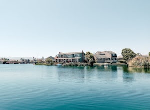
The Foster City Lagoon is one of the most calm waters to paddle on. This is a great spot for beginners to learn how to paddleboard for the first time. The lagoon gets very still and makes it the perfect spot for reflection photos. On sunny days, there are many kayakers, SUP, small boats, and ev...Read more -
San Mateo County, California
Run Sawyer Camp Trail
5.012 mi / 300 ft gainThe Sawyer Camp Trail is a popular paved trail that stretches alongside the Crystal Springs Reservoir all the way to Hillcrest Blvd. The sixth mile crosses over the San Andreas Dam with nice views of San Andreas Lake.There are markers every half mile which makes timing and tracking your run easy....Read more -
Carmel-by-the-Sea, California
Calla Lily Valley
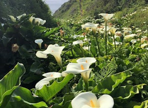
4.50.31 mi / 46 ft gainParking for Calla Lily Valley is available along the dirt pullout at Gate 19 for Garrapata State Park, near mile-marker 63. Signs are small and difficult to see. Follow the path between the guide wires and take the right fork, heading north to the bluff overlooking the beach. Continue north and f...Read more -
Carmel-by-the-Sea, California
Garrapata Beach
4.6A wonderful roadside beach and state park. Easy parking on both sides of Hwy. 1 with short access trails. There are almost 2 miles of coastline trails heading north and south from the parking area. The north end of the beach is great for swimming and surfing when the sea is calm and the south ...Read more -
Sunol, California
Hike the Pleasanton Ridge Trail
4.36.4 mi / 1443 ft gainPleasanton Ridge Trail is a 6.4 mile loop. The loop is shared by dog walkers, trail runners, hikers, mountain bikers and horseback riders. From the ridge your viewpoints will include Mount Diablo and the San Francisco Bay. This hike from the Foothills Staging Area is an excellent introduction ...Read more -
Half Moon Bay, California
Paddle Half Moon Bay Jetty
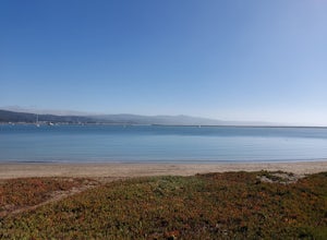
The Half Moon Bay Jetty is a calm place to paddle as it is covered on all sides. There is an opening into the ocean on the far side, but is mostly calm with plenty of beach area to launch. Keep in mind, there are boats in the harbor so keep an eye out. There is also a scenic hike nearby the West ...Read more -
Livermore, California
Hike to Murietta Falls
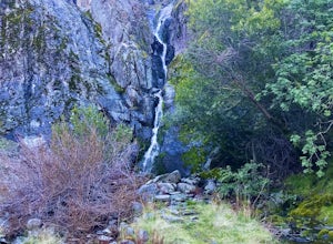
4.012 mi / 4175 ft gainGet ready for one of the toughest, lung busting hikes in the east bay with over 6-miles and 4,000ft of climbing in one direction. When you make it to the hike, it's also important to realize that without recent rain, there many not actually be a waterfall. With that said, you're still getting in ...Read more -
Half Moon Bay, California
Catch the Sunset at Maverick's Beach
5.01 miMaverick's beach is most well-known for the Maverick surf competition and the gnarly waves which surface here in the winter months. For the rest of the year, the beach is still a site to see. With huge waves crashing ¼ mile off shore and bluffs towering 100 feet above you, it’s a picturesque plac...Read more -
Livermore, California
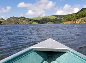
Paddle Lake Del Valle
4.0Lake Del Valle is a reservoir located in Livermore, California. The lake has boat motor boats, pedal boats, patio boats, canoes, and row boats available for rent. There is a dock and rental house in the marina.The lake is also a popular destination for picnics, barbecues, and camping. Parking fi...Read more -
Moss Beach, California
Pillar Point Bluff Loop
4.71.84 mi / 154 ft gainSitting on a 140 acre bluff top, the Pillar Point Bluffs are a simple, easy hike with breathtaking views throughout. The bluffs are 22 miles from San Francisco – a 30 minute drive depending on the traffic. There is a small 10 car or so parking lot off of Airport Blvd, but there are two additional...Read more -
Livermore, California
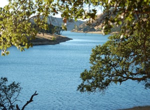
Del Valle Regional Park
4.0Looking for a quick summer escape filled with stand up paddling, canoeing, fishing, hiking, and picnics? Look no further than Del Valle Regional Park. Consistently considered one of the best campgrounds in the Bay Area, the centerpiece of Del Valle is a 5-mile long lake that allows swimming, fish...Read more


