Sand City, California
Looking for the best chillin in Sand City? We've got you covered with the top trails, trips, hiking, backpacking, camping and more around Sand City. The detailed guides, photos, and reviews are all submitted by the Outbound community.
Top Chillin Spots in and near Sand City
-
Carmel-by-the-Sea, California
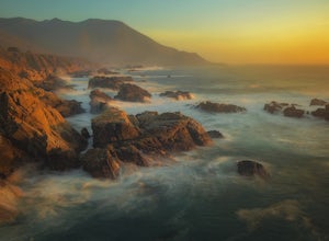
Soberanes Point
1.82 mi / 295 ft gainGarrapata State Park is located along California's Highway 1, roughly 5 miles south of Carmel, California. The park is entirely free with multiple pull-outs and serves as one of the first grand views travelers encounter while heading south from the Monterey Peninsula to southern California. Garra...Read more -
Carmel-by-the-Sea, California
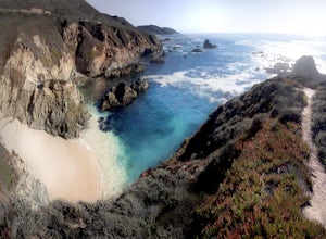
Secluded Beach Near Soberanes Point
5.00.2 mi / 40 ft gainWhen we stumbled upon this beach we were thrilled to have such great views with no crowds. There is plenty of room to lay out in the sun, you can swim in the ocean to cool off, and the beach is surrounded by beautiful landscape. If you decide to swim be very careful as the waves and currents ca...Read more -
Moss Landing, California
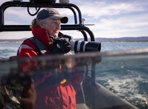
Whale Watching off Moss Landing
The Monterey Bay National Marine Sanctuary is home to some of the most diverse and rich waters in our oceans, and you have the chance to see it up close and personal! The big prize is getting to see a whale, but these waters are teeming with other wildlife from dolphins to otters to sea lions. F...Read more -
Carmel-by-the-Sea, California
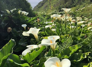
Calla Lily Valley
4.50.31 mi / 46 ft gainParking for Calla Lily Valley is available along the dirt pullout at Gate 19 for Garrapata State Park, near mile-marker 63. Signs are small and difficult to see. Follow the path between the guide wires and take the right fork, heading north to the bluff overlooking the beach. Continue north and f...Read more -
Carmel-by-the-Sea, California
Garrapata Beach
4.6A wonderful roadside beach and state park. Easy parking on both sides of Hwy. 1 with short access trails. There are almost 2 miles of coastline trails heading north and south from the parking area. The north end of the beach is great for swimming and surfing when the sea is calm and the south ...Read more -
Big Sur, California
Camp at Andrew Molera State Park
4.51 miAndrew Molera is about 27 miles south of Carmel and one of the first State Parks you'll hit heading down the coast. There will be signs for the Park as you approach and the main parking lot is only a couple hundred yards from Hwy 1. There are a number of hiking trails and activities to do around ...Read more -
Big Sur, California
Hike the Creamery Meadow Trail to Molera Beach
2 miEntrance to the parking lot is $10 per car, and once you get in be sure to use the restroom before you head for the trail, since you will likely spend a good amount of time out there.Look for the sign that says Creamery Meadow Trail. You'll know it's right when the very first thing you'll need to...Read more -
Big Sur, California
Hike the Andrew Molera State Park Loop
4.58.8 mi / 1100 ft gainThe loops starts at the Andrew Molera State Park parking lot (4.5 miles north of the entrance to Pfeiffer Big Sur State Park along Highway 1). Begin by crossing the Big Sur River using the seasonal bridge. If the bridge has been removed, you will need to cross the water by foot. Usually the water...Read more -
Big Sur, California
Camp at Ventana Campground, Big Sur
4.6This campground is a gem when it comes to Big Sur camping, book here. Each site includes a parking spot, a campfire ring with grill, a picnic table, and plenty of space for 1-2 tents. There are multiple immaculate restroom facilities with showers, clean trash enclosures (emptied and sanitized dai...Read more -
Santa Cruz, California
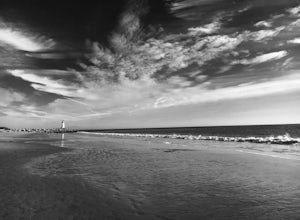
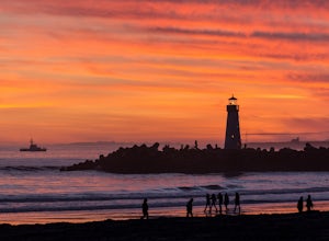
Beach Day at Lighthouse Field State Beach
4.0This beach is less crowded compared to other beaches in Santa Cruz. I got there early on a Saturday and found easy street parking. There was plenty of space to spread out on the soft sand. Later in the day I saw dolphins several times! This is close to the Santa Cruz Surfing Museum. It’s als...Read more -
Santa Cruz, California
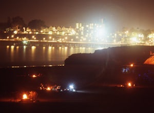
A Beach Bonfire in Santa Cruz at Twin Lakes SB
This one-mile stretch of beach is the perfect option for those looking for a peaceful Santa Cruz experience, but without the crowds. The beach features soft sand, playful surf, an awesome view of Walton Lighthouse, and a handful of fire pits to choose from. It's a great spot to spend the entire d...Read more -
Santa Cruz, California
Bonfire at Seabright State Beach
5.0This is a wide, beautiful beach that's an amazing spot to spend the day and enjoy a bonfire at night. Seabright is probably the most popular spot in Santa Cruz for a bonfire, due to its convenient proximity to the Beach Boardwalk. But luckily, this beach is tucked in between the San Lorenzo River...Read more -
Santa Cruz, California
Surf at Natural Bridges State Beach
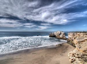
4.5Natural Bridges is off of West Cliff Drive to the north of popular Santa Cruz break, Steamer Lane. The break is a right point break, which breaks on a rocky shelf and reef. The break is best during sizable swells (NW, SW, and West) and a low tide. Be sure to check the wind, this break gets blown ...Read more -
Big Sur, California
Explore the Big Sur River Gorge
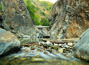
4.71 miIf you are in the Big Sur area during the summer, exploring the Big Sur River Gorge is a must! The gorge is located in Pfeiffer Big Sur State Park, and your closest parking will be day use parking lot 3. The trailhead to the gorge can be found at the northeast end of Pfeiffer Big Sur State Park C...Read more -
Big Sur, California
Pfeiffer Beach
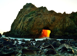
4.00.81 mi / 75 ft gainPfeiffer Beach located in Big Sur may truly be one of the most awesome beaches in California...if you can find it. I lived within 40 miles of this beach for over 20 years and just discovered it recently. This beach is located on an unmarked road called Sycamore Canyon Road. On Highway 1, this roa...Read more -
Soledad, California
Explore Dreamy Wrath Wines Vineyards
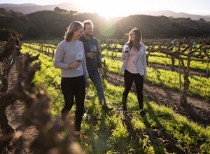
Just a short drive from some of the best trails and rock climbing at Pinnacles National Park, Wrath Wines' Soledad winery is a great way to wine'd down after a day of adventure. What makes this grape growing region unique is the constant marine layer fog and wind stress out the grapes (that’s a ...Read more

