San Martin, California
Looking for the best photography in San Martin? We've got you covered with the top trails, trips, hiking, backpacking, camping and more around San Martin. The detailed guides, photos, and reviews are all submitted by the Outbound community.
Top Photography Spots in and near San Martin
-
San Benito County, California
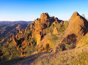
Explore Pinnacles National Park
4.6It’s hard to believe how many people don’t know about this place, which was newly designated as a National Park in January 2013. Pinnacles National Park is hidden just south of San Jose in the Gabilan Mountains, and is a short drive for anyone living in the Bay Area.With beautiful rock spires pie...Read more -
Paicines, California
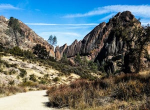
Hike the Old Pinnacle Trail in Pinnacles National Park
5.09 mi / 2000 ft gainStart at the Old Pinnacles Trailhead and embark on a roughly 9 mile long adventure surrounded by amazing geological rock formations and natural landscapes. Bask in the peace of nature... meander through meadows alongside the West Fork of Chalone Creek and into Old Pinnacles. Continuing on at the ...Read more -
Paicines, California
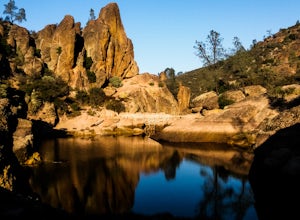
Hike to Bear Gulch Reservoir in Pinnacles National Park
3.51.5 mi / 275 ft gainStart the hike from the Bear Gulch Trail Parking lot. While pulling in, the trail head is on the left. The Trail is marked Reservoir, Caves, and High Peaks. Continue down the trail until faced with a junction. Make sure to admire rock formations while hiking!At the junction take the Bear Gulc...Read more -
Half Moon Bay, California
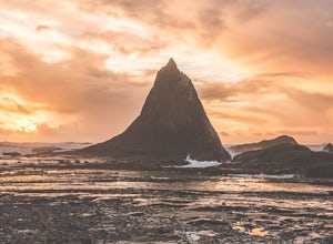
Watch the Sunset at Martin's Beach
4.5Martin's Beach is a beach about 7 miles south of Half Moon Bay. It features a large, very cool looking rock formation right off the coast. This beach is accessible via Martin's Beach Road, which is a small turn off on your right when southbound on Highway 1, though sometimes the road is only open...Read more -
Half Moon Bay, California
Purisima Creek Trail and Craig Britton Trail Loop
4.06.95 mi / 1411 ft gainThis hike is perfect for any time of year, always staying cool because it is near the coast, and there are multiple creeks that flow year-round. Even on foggy days, the fog condenses on trees to make it seem like it is "raining." Be warned that this hike has a lot of elevation change and is stre...Read more -
Soledad, California
Explore Dreamy Wrath Wines Vineyards
Just a short drive from some of the best trails and rock climbing at Pinnacles National Park, Wrath Wines' Soledad winery is a great way to wine'd down after a day of adventure. What makes this grape growing region unique is the constant marine layer fog and wind stress out the grapes (that’s a ...Read more -
Carmel-by-the-Sea, California
Calla Lily Valley
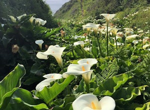
4.50.31 mi / 46 ft gainParking for Calla Lily Valley is available along the dirt pullout at Gate 19 for Garrapata State Park, near mile-marker 63. Signs are small and difficult to see. Follow the path between the guide wires and take the right fork, heading north to the bluff overlooking the beach. Continue north and f...Read more -
Carmel-by-the-Sea, California
Garrapata Beach
4.6A wonderful roadside beach and state park. Easy parking on both sides of Hwy. 1 with short access trails. There are almost 2 miles of coastline trails heading north and south from the parking area. The north end of the beach is great for swimming and surfing when the sea is calm and the south ...Read more

