Salinas, California
The best Trails and Outdoor Activities in Salinas, California offer a variety of scenic outdoor adventures. One of the top must-visit trails is the Toro Park Trails, known for its panoramic views of the Salinas Valley and Monterey Bay. The trail includes a challenging mix of steep inclines and descents, making it suitable for hikers of all levels. Along the trail, you will come across the Ollason Peak, a prominent rock formation that is a popular landmark. The trail also features a beautiful river that adds to the scenic beauty of the hike. Near Salinas, the Pinnacles National Park offers unique rock formations and is home to a variety of wildlife. Remember to pack your camera for these outdoor attractions!
Top Spots in and near Salinas
-
Saratoga, California
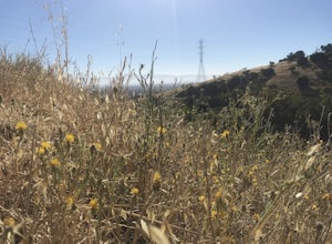
Hike the Seven Springs Trail Loop
2.8 mi / 500 ft gainThe Seven Springs loop is only one great option of several in the preserve. Starting from the Prospect Rd parking lot the loop is 2.8 miles of rolling hills in and out of the shade. Most of the trail is at least 2 person width so easy to walk with a friend or furry companion. There have been larg...Read more -
21600 Big Basin Way, California
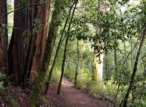
Hike the Sequoia Trail at Big Basin Redwoods SP
4.04.3 mi / 600 ft gainThis 4.3 mile hike in Big Basin Redwoods SP is a peaceful break from the hustle and bustle of everyday life. In the first half, there is a quick detour you can take to Sempervirens Falls. Just listen for sounds of water, read the signs, and cross the road. The detour itself is as far as cross...Read more -
Big Sur, California
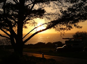
Clifftop Camping & Hot Springs in Big Sur
4.7Campsite:There is nothing quite like driving or biking along US-1, the Pacific Coast Highway. Make sure you get a chance to do the drive during the day so that you can see all that Big Sur has to offer. Be careful when pulling off especially onto the shoulder and never stop on a curve in the road...Read more -
Big Sur, California
Hike from Kirk Creek Campground to Vicente Flat Trail
10.9 mi / 3454 ft gainThe Vicente Flat Trail is well kept and wide, with many campsites at the end. This trail is very close to Cone Peak, and is used for mountain biking, trail running, birding, and nature trips.Read more -
Big Sur, California
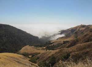
Cone Peak in Big Sur (Sea to Sky Backpacking Route)
4.519.72 mi / 7484 ft gainWhile you can make a day-hike out of it by driving up the gorgeous Sur-Nacimiento Road from Highway 1 to the Coast Ridge Road and take a 2 mile trail to the summit with 1300' of elevation gain (4 miles roundtrip), the more adventurous types do a Sea to Sky, starting at Kirk Creek Campground and u...Read more -
Los Gatos, California
Lost Mine Trail Run
Communes, dairy, and gold. These words are not often associated with trail running, but out on Monte Bello Ridge and Black Mountain which rise high above Silicon Valley, you might just hear them uttered.From the parking area in Skyline Open Space we start our run by crossing Skyline Boulevard and...Read more -
Big Sur, California
Surf Willow Creek
4.0Willow Creek is a couple of miles south of Sand Dollar Beach. Sand Dollar is generally a mushier wave that is more welcoming. Willow Creek on the other hand, has more power and offers punchier waves for the more experienced. However, it is more fickle than Sand Dollar Beach. There are loads of ke...Read more

