Redondo Beach, California
Top Spots in and near Redondo Beach
-
Laguna Beach, California
Brooks Street Beach is just a couple of blocks off the Pacific Coast Highway in Laguna Beach. Parking can be tricky, so be forewarned that you may need to walked a few blocks.
Winter can be good, but during the summer and big south swells are when you want to go surfing, so be sure to check out ...
Read more
-
Laguna Beach, California
Beginning at Alta Laguna Park at Top of the World, the West Ridge Trail is a popular starting (and ending) point for adventures into the Laguna Coast Wilderness, leading to trails and areas like Car Wreck, Big Bend, and Willow Canyon. You can also do it in reverse from the north. The ridge itself...
Read more
-
Laguna Beach, California
4.5
3.31 mi
/ 856 ft gain
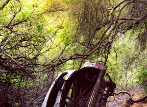
There are numerous ways to incorporate the Car Wreck trail into a larger loop through the Laguna Coast Wilderness and Aliso Canyon Park, but a common route is to begin at Alta Laguna Park at "Top of the World" in Laguna Beach.
Take the West Ridge Trail .5 miles, bearing right onto the marked Car...
Read more
-
Chino Hills, California
3.0
1.92 mi
/ 312 ft gain
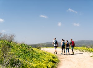
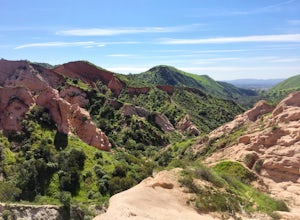
The best place to park for this hike is at Hunter's Hill park. From there, the trailhead is located on Natalie Road just South of the park. There is a large sign marking the start of the trail, but it does not give a name for either the trail head or the trail itself. For reference, it is the But...
Read more
-
Laguna Beach, California
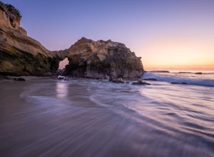
Pearl Street Beach is a great spot to just chill and watch (and photograph) the sunset with friends and family. Parking for the beach can be found on S. Coast Hwy (the 1) and is meter parking. There is also free, but limited parking available along the smaller streets closer to Pearl Street Beach...
Read more
-
Malibu, California
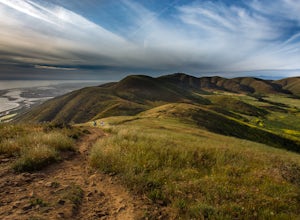
Point Mugu State Park offers some amazing rolling mountains, sweeping meadows of tall grass, and beautiful coastal views. I suggest going in the spring. I recently went, and the wildflowers were blooming everywhere. There are campgrounds available in different parts of the park that you can make ...
Read more
-
Malibu, California
5.0
6.5 mi
/ 1255 ft gain
From the parking lot at the trailhead, follow the steep trail going up the mountain. This part is quite challenging, so I recommend stretching out your legs before starting the hike.
Once you reach the top, you will see your first junction. Go right if you want to go straight for the peak, and th...
Read more
-
Laguna Beach, California
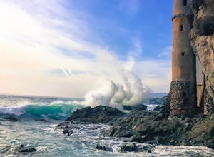
To find this little hidden treasure, put Victoria Beach into your phone as your destination and park for free on S Coast Highway anywhere between Sunset Terrace, McAulay Place, or Victoria Drive. Make your way down any of these streets toward the beach and you will see stairs going down at the en...
Read more
-
Lake Forest, California
Just south east of the city of Irvine, on the southern end of Orange County, is the scenic Whiting Ranch Wilderness Park. Don't let the newly developed shopping centers restaurants fool you, because just beyond the parking lot ($3 Daily Use Fee) of the Borrego Canyon Trailhead, you will find your...
Read more
-
Laguna Beach, California
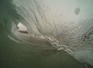
This wave is super fun to bodysurf and shoot photos of when there is a swell. It is a shorebreak so be careful of shallow water and little rocks. It usually isn't too crowded especially on weekdays. Bring your fins and a smile and you have a good time.
Read more
-
Pearblossom, California
Located 1 mile east of the Mt Waterman Ski Resort, Buckhorn Ski Hill is a great place to enjoy a leisurely stroll through a snow-covered forest, complete with views of towering Mt Waterman. To get here take I-210 toward La Canada, exit on to California Highway 2 (Angeles Crest Highway) heading no...
Read more
-
Pearblossom, California
There's a small parking lot just below Cloudburst Summit on the way to Mount Waterman. Start your adventure there. I'd be hard-pressed to say it's more than 15 yards from the sign for the summit (7018' AMSL).
There's a fire road, if you're newer to altitude and don't know how to read a map (or e...
Read more
-
Azusa, California
Smith Mountain Trail is an awesome day hike located near Glendora, California. This out-and-back trail offers great views of the Los Angeles National Forest and the potential for continuation to Bear Creek for even more variety of scenery.
Smith Mountain is a moderately strenuous hike with an el...
Read more
-
Laguna Niguel, California
4.4
7.68 mi
/ 889 ft gain
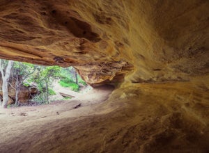
Dripping Cave sits tucked away in a corner of Wood Canyon, part of the Aliso and Wood Canyons Wilderness Park, and the trail to the cave, while short, requires *at least* a 2.25 mile hike in from the nearest trailhead (West Ridge Trail to Mathis Canyon), though this is less than ideal as that rou...
Read more
-
Pearblossom, California
5.0
5.87 mi
/ 1499 ft gain
Mt. Waterman is accessed along Highway 2 in the Angeles National Forest. Heading east from La Canada look for mileage marker 58.0 (34 miles from La Canada) just past the closed ski resort. Park at one of the large paved turnouts on your left. Display an Adventure Pass ($5 at Ranger Station or Big...
Read more
-
Pearblossom, California
5.0
3.01 mi
/ 755 ft gain
Burkhart Trail is well-defined and easy to follow through an unbelievable old growth of Jeffrey pines, incense-cedars and surprisingly, redwoods! At 0.25 miles, there is a steep spur trail near a large pile of boulders that leads to a popular swimming area, often frequented by guests of the campg...
Read more

