Redding, California
For the best Trails and Outdoor Activities, Redding, California is a must-visit. One of the top trails in this area is the Sacramento River Trail, a scenic path that takes you along the river's edge, offering beautiful views of the water and surrounding landscape. This trail is of moderate difficulty, suitable for most fitness levels. For a more challenging hike, try the Clear Creek Greenway, where you'll navigate through rocky terrain and pass by the unique rock formations of Quartz Hill. If you're looking for water-based outdoor adventures, Whiskeytown Lake is perfect for kayaking or paddleboarding. In the surrounding area, the Lassen Volcanic National Park offers stunning volcanic landscapes and a variety of trails. These are just a few of the best outdoor activities and attractions in and near Redding.
Top Spots in and near Redding
-
Trinity Center, California
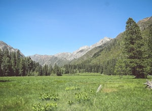
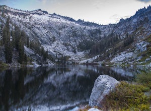
Stuart Fork Trail to Emerald and Sapphire Lakes
5.027.06 mi / 4213 ft gainThe trail begins just past the Trinity Alps Resort, a private collection of cabins near Weaverville, CA. Hikers wanting an early start can spend the night at the Bridge Camp Campground, located next to the trailhead. The path starts out wide and level, following an old road to the wilderness bou...Read more -
Trinity Center, California
Stuart Fork to Alpine Lake
16 mi / 4265 ft gainNestled in the heights of the Trinity Alps, this hike to Alpine Lake is not for the faint of heart. Before embarking on this adventure call the Weaverville Ranger station to check snow levels as well as the flow of the Stuart Fork River. If you are too early in the summer season the snowpack wi...Read more -
Trinity Center, California
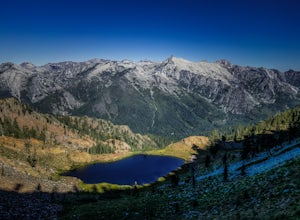
Backpack to Bear Basin and The Four Lakes Loop
30.1 miDay 1 Swift Creek Trail Head to Bear BasinThe trip begins at the Swift Creek trailhead in the Trinity Alps Wilderness. Permits are very easy to get, just stop by the Ranger station in Weaverville, CA. They are free and can be self-issued in front of the ranger station, or you can go in if you wou...Read more -
Junction City, California
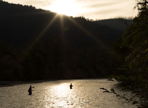
Fly Fish the Trinity River
The Trinity River is one that is rarely visited by your typical Bay Area resident. In fact, much of true Northern California is "untouched" in the eyes of those who live in The City, which is what drew me to this place to begin with. After a five hour journey from San Francisco, we made it to our...Read more -
Junction City, California
Camp at Junction City Campground
3.0Junction City Campground is home to 22 tent/trailer campsites, paved loop road, vault toilets, potable water, fire rings, and picnic tables. MAX trailer length is 40 feet. The campground is located 1.5 miles west of Junction City on State Highway 299.Dogs are welcome in the campground -- please k...Read more -
Platina, California
Hike to Massacre Natural Bridge
5.01 miNatural Bridge is a historic/geologic site located near Hayfork, CA off Wildwood Road near Chanchelulla Peak in the Shasta-Trinity National Forest. To get there take Hwy 36 or 299 to Hwy 3/Hayfork, then take Wildwood Road to Forest Service Road 31N19 (unpaved)- Natural Bridge is a mile or two off...Read more -
Junction City, California
Canyon Creek Lakes
4.314.35 mi / 2605 ft gainNumerous starting points with over 550 miles of trail and easily 50+ different featured trails depending on length and what type of activity you are are looking for. One of the more popular trails, and rightfully so, is Canyon Creek Lakes Trail. This 16 mile roundtrip hike has an overall elevatio...Read more -
Junction City, California
Scramble Thompson Peak
4.022.7 mi / 6100 ft gainThis adventure begins at the Canyon Creek Lakes in the Trinity Alps wilderness. Park at the Canyon Creek Trailhead near Junction City and hike the well-maintained and easy-to-follow trail for 8 miles. Once you reach the Canyon Creek Lakes, your off-trail adventure officially begins. I’d recommend...Read more -
Junction City, California
Backcountry Camp in the Canyon Creek Drainage
9 mi / 2600 ft gainThe first half of the Canyon Creek Drainage is one of the most popular destinations within the Trinity Alps, but the second half goes largely unexplored and uninhabited by sojourners. Four peaks – Thompson Peak, Wedding Cake, Mt. Hilton, and Sawtooth Peak – surround the basin and offer adventurer...Read more -
Shasta County, California
Magee Peak & Crater Peak
7.19 mi / 2887 ft gainThe trail to Magee Peak and Crater Peak makes for a fairly strenuous hike (mostly due to altitude). This USFS out-and-back trail has incredible views of the major peaks in the Northern California & Southern Oregon. Take in a spectacular close-up of Lassen NP and great views of Shasta, Castl...Read more -
Castella, California
Hike Crags Trail to Castle Dome
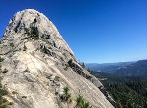
4.45.1 mi / 2135 ft gainOne of the gems in the Shasta area, Castle Crags. You can spot these dramatic granite towers from a distance and their jagged formations beckon climbers and hikers alike. Imagine a slice of the Dolomites plucked out of Italy and placed in Northern California. Crags Trail to Castle Dome winds up t...Read more -
Trinity Center, California
Stoddard Lake
5.07.01 mi / 1325 ft gainThe trail is a bit rocky, so wear sturdy hiking boots or trail runners. While your elevation gain is only 800 total, you will travel upwards of 1,982ft in elevation given the ups and downs of the trail. At mile 1.75, there is a spring that feeds into a large meadow. At mile 3, there is another sp...Read more -
Shingletown, California
Hike the Chaos Crags Trail
3.8 mi / 915 ft gainManzanita Lake campground is located about 1/2 mile past the Northwest entrance of Lassen Volcanic National Park. The trailhead is located just before the campground sites about 0.1 mile off of the main road and marked with a sign (including a map) and a few parking spaces. The trail starts o...Read more -
Shasta County, California
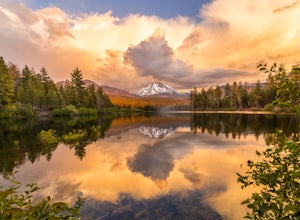
Photograph Lassen Peak
4.8Located in Northern California, Lassen Volcanic National Park is an astoundingly beautiful, diverse, yet under-appreciated park in the national park system.Manzanita Lake, located at the northwest park entrance, holds the largest campground in the park, and affords a gorgeous, photograph worthy v...Read more -
Shasta County, California
Camp out at Manzanita Lake Cabins in Lassen Volcanic NP
Deep in the Lassen National Forest is the beautiful and surprisingly one of the least visited National Parks, Lassen Volcanic National Park. On the north entrance of the park, you will find the beautiful Manzanita Lake Cabins and Campground with the gorgeous blue lake in the foreground. Getting ...Read more -
Shingletown, California
Manzanita Lake Loop
4.01.88 mi / 121 ft gainManzanita Lake Loop Trail is a loop trail that takes you by a lake located near Old Station, California.Read more

