Ramona, California
Looking for the best running in Ramona? We've got you covered with the top trails, trips, hiking, backpacking, camping and more around Ramona. The detailed guides, photos, and reviews are all submitted by the Outbound community.
Top Running Spots in and near Ramona
-
Jamul, California
Hike the Hollenbeck Canyon Trail
4.6 mi / 626 ft gainThe trail is wide and well maintained. The first mile of the trail is well shaded by oak trees. You'll see stunning rocky peaks and rolling green hills as the trail continues. There are three creek crossings to be aware of. Cleveland National Forest is dog friendly, but bring a leash! Hunting is ...Read more -
Chula Vista, California
Hike Mother Miguel Mountain
5.04.5 mi / 977 ft gainAt the summit, your work will be rewarded with stunning views from downtown San Diego all the way to Mexico. You can also see the surrounding mountain peaks and the Sweetwater Reservoir. This is a great hike to do at sunset - but bring a headlamp / flashlight for the hike back down. This trail i...Read more -
San Diego, California
Balboa Park Loop
4.64.34 mi / 226 ft gainThe Balboa Park Trail offers the chance to see wildlife and is open year-round. The trail is shared by runners, families, hikers, and bikers. Dogs are able to use the trail but must be kept on leash. There is a dog park you will pass by.Read more -
San Diego, California
Hike to the Rope Swing in Tecolote Canyon
4.04.4 miTecolote Canyon offers a great opportunity to explore nature right in the heart of San Diego, whether it is a hike, run, or bike ride on the trails. But the best kept secret is perhaps a rope swing over the creek! The main trail starts off at Tecolote Canyon Natural Park & Nature Center, wh...Read more -
San Diego, California
Run the Convention Center Stairs
4.8This is a great spot to get in a workout and to get some fresh air. The stairs are around 100 steps to the top, so if you're feeling good, you can get a few rounds in. In terms of safety, there are usually people around the convention center, so you most likely won't be alone. With that said, be ...Read more -
Mount Laguna, California
Red Trail Roost and Agua Dulce Trail Loop
4.04.63 mi / 591 ft gainRed Trail Roost and Agua Dulce Trail Loop is a loop trail where you may see wildflowers located near Julian, California.Read more -
Aguanga, California
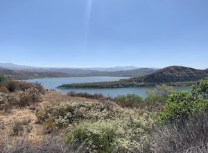
Vail Lake Loop
4.07.25 mi / 922 ft gainVail Lake Loop is a loop trail that takes you by a lake located near Temecula, California.Read more -
Coronado, California
Coronado Beach
4.6Photograph the iconic and historic Hotel Del and Coronado Beach on Coronado Island. The Del is a beautiful Victorian resort, which is the second-largest wooden structure in the United States. The Del offers amazing photo opportunities during sunset and during sunrise when it is beautifully backli...Read more -
Campo, California
Kitchen Creek Falls Trail
4.04.83 mi / 722 ft gainKitchen Creek Falls Trail is an out-and-back trail that takes you by a waterfall located near Pine Valley, California.Read more -
Oceanside, California
Bike or Skate the Strand
4.01 mi / 0 ft gainOceanside's iconic Strand is a 1 mile long ocean-front road that is perfect for cycling, walking, and running. At various points it is one way or pedestrian only, and is a must-do for any visitors to Oceanside.From the north The Strand begins at Breakwater Way and heads south underneath The Ocean...Read more -
San Diego, California
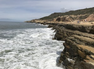
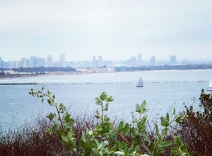
Explore Cabrillo National Monument
4.5Cabrillo National Monument is named after Juan Rodriguez Cabrillo, the first European explorer to reach America's Wet Coast. There are many knowledgable rangers in the park who are eager to share interesting historical facts. Activities in the park include hiking: the Bayside Trail offers 2 mile...Read more -
San Diego, California
Bayside Trail
4.01.99 mi / 397 ft gainThe Bayside Trail features beautiful spring wild flowers and is accessible year-round. The trail is wide with a few rest stops and benches along the way. The trail is breezy, much cooler than many trails inland, featuring ocean views throughout the duration. This monument commemorates the landi...Read more -
Imperial Beach, California
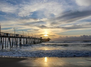
Catch a Sunset at the Imperial Beach Pier
5.0From San Diego, head South on Hwy 5 for 12 miles. Take a right on exit 5A for Palm Ave/CA-75. Take CA-75 west for 1.6 miles. Stay on Palm Ave as it splits from CA-75. Take Palm Ave for 1 mile until it reaches the coast. Turn left on Seacoast Dr and take it for 1 mile until you reach the Imperial ...Read more -
San Diego, California
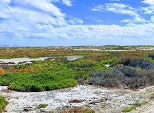
Hike to the beach at Border Field State Park
2 mi / 26 ft gainThe beach at Border Field State Park is southernmost beach in California. This beach begins (on US Maps) at the Mexican border and continues north to the mouth of the Tijuana River. The State Park shares its land with the Tijuana River National Estuarine Research Reserve which are both operated b...Read more -
Mountain Center, California
Cactus Spring Trail
31.73 mi / 6407 ft gainCactus Spring Trail is an out-and-back trail where you may see wildflowers located near Mountain Center, California.Read more -
Hemet, California
Hike South Fork Trail
5.4 mi / 1056 ft gainBegin by following the unsigned but visible trail on the south side of the turnout. You climb steadily through bushes and past granite boulders. At half a mile, you pass over to the western slope of the hill where the trail bends southeast, providing your first look of the river valley far below....Read more

