Quincy, California
Looking for the best photography in Quincy? We've got you covered with the top trails, trips, hiking, backpacking, camping and more around Quincy. The detailed guides, photos, and reviews are all submitted by the Outbound community.
Top Photography Spots in and near Quincy
-
Nevada City, California
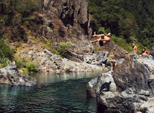
Swim at Edwards Crossing on the South Yuba River
5.02.74 mi / 1302 ft gainThere are endless swimming holes on the South Yuba River the feature crystal clear water, massive granite boulders and pristine pocket beaches, particularly those lower in the foothills. Many are separated by sections of rapids, but can be reached via the growing trail system of the South Yuba Ri...Read more -
Shasta County, California
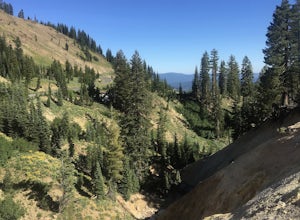
Seven Lake Loop in Lassen Volcanic NP
11.54 mi / 1545 ft gainThis hike is one of my favorites for when I only have a weekend to get my nature fix. To start off, visit either the Loomis Museum, Loomis Ranger Station, Butte Lake Ranger Station, Kohm Yah-mah-nee Visitor Center, Warner Valley Ranger Station, or Juniper Lake Ranger Station and pick up a wildern...Read more -
Nevada City, California
Hike the Independence Trail
4.5Starting from the free easy access parking lot right off highway 49 you head left up the trail. You will notice two trails side by side, one wider path for wheelchair access and another slightly narrower path for hikers on foot.The trail is set on the cliff side overlooking the South Fork of the ...Read more -
Chico, California
Hike the Yahi Trail in Upper Bidwell Park
7.9 mi / 836 ft gainTo start this hike, find parking at Bidwell Park Parking Area E, near the Chico Rod and Gun Club. From there walk a short ways down Upper Park Road. You will see the sign for the Yahi Trail trailhead on the right. From here, simply follow the trail along the river. A reminder to those with dogs, ...Read more -
Penn Valley, California
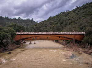
Visit the Bridgeport Covered Bridge
4.0The famed and picturesque Bridgeport Covered Bridge, spanning the width of the Yuba River, was originally built in 1862. It was an integral passage for a freight hauling route from San Fransisco to Nevada. This historic site is now protected and is no longer able to be walked or driven through as...Read more -
Shasta County, California
Visit Sulphur Works at Lassen Volcanic NP
4.02 mi / 200 ft gainLassen Volcanic National Park is a wonderland of lush pine forests, arid rocky terrain, boiling lakes, snow-capped peaks, and extremely diverse wildlife. I recommend at least a week to explore this underrated national park, but if you are only driving through, you can still enjoy some of the won...Read more -
Old Station, California
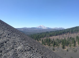
Hike to Snag Lake via the Cinder Cone
12.5 mi / 2000 ft gainStart from the Butte Lake trailhead, off Highway 44 at the north end of Lassen Volcanic National Park. From the parking lot walk past the little boat launch and the trailhead is obvious in front of you. Be mentally prepared to be walking in loose sand for most of this trip (and bring ankle or kn...Read more -
Shasta County, California
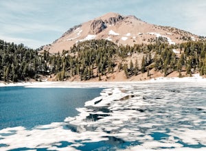
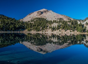
Lake Helen in Lassen Volcanic NP
5.0Lake Helen is a glacial lake in Lassen Volcanic NP. The park's winter season starts in October and runs through June. Lake Helen can be found thawing mid-June. The turquoise blue of the water comes from the minerals in it, and is mesmerizingly beautiful when thawing in pools over a snowy Lake ...Read more -
Shasta County, California
Lassen Peak
4.44.66 mi / 1936 ft gainOne of my personal favorites and a hidden gem of California that keeps circling my mind is the Lassen Peak Trail. Don't let the trail map (2.5 miles one way) deceive you and make you think this is a short trail. The elevation gain is is 2000 feet from the parking lot to the end of the peak. The a...Read more -
Loch Leven Lakes Trailhead, California
Loch Leven Lakes Trail
4.47.6 mi / 1480 ft gainThe trail is easy to follow for the first half mile until you get to some large slabs of granite. As you continue up the trail look for stacked rocks, these will give you a an easy route as you continue up the mountain. The trail then starts to switch back eventually leading to a small bridge. Af...Read more

