Placer County, California
Looking for the best hiking in Placer County? We've got you covered with the top trails, trips, hiking, backpacking, camping and more around Placer County. The detailed guides, photos, and reviews are all submitted by the Outbound community.
Top Hiking Spots in and near Placer County
-
New Washoe City, Nevada
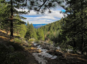
Chicadee Ridge
5.01.69 mi / 289 ft gainChicadee Ridge is an out-and-back trail where you may see beautiful wildflowers located near Incline Village-Crystal Bay, Nevada.Read more -
Alpine County, California
Hike to Round Top Peak
5.09 mi / 1821 ft gainThis hike begins at Carson Pass which is accessible from Highway 88. The trail leaves from the parking lot (parking requires a fee of $5) and is easy to follow. After about a mile, you'll pass Frog Lake on the left, which is a nice place to stop for a quick snack.Continue along the trail and stay...Read more -
Reno, Nevada
Mt. Rose Summit Loop
5.010.74 mi / 2392 ft gainThis challenging hike offers great views of the greater Tahoe area. The first part of the hike to the waterfall is relatively easy, but once you pass that, you'll be doing a decent climb to the summit. During the summer months, you'll want to get an early start as there can be a decent crowd head...Read more -
Carson City, Nevada
Kings Canyon Falls
4.00.63 mi / 233 ft gain...Living in California, I know all about waterfalls! For me personally though, no matter the shape or size of the waterfall, it has my interest. Now when it comes to Nevada, I honestly can't think of too many waterfalls off the top of my head, but when you're passing through a town that you're u...Read more -
Penn Valley, California
Fairy Falls Trail to Shingle/Beale Falls
4.14.87 mi / 535 ft gainStart at the Fairy Falls trailhead in Spenceville Wildlife Area Field Trial Grounds in Penn Valley (careful on the bumpy roads in). From the parking lot, cross a small bridge and make a right onto a dirt road. After about a mile you will follow the road to the right and continue through the gate....Read more -
Sierra City, California
Sardine Lakes
1.32 mi / 253 ft gainSardine Lakes is a loop trail that takes you by a lake located near Sierra City, California.Read more -
Sierra City, California
Sierra Buttes Lookout Trail
5.09 mi / 1365 ft gainSierra Buttes Lookout Trail is an out-and-back trail where you may see beautiful wildflowers located near Sierra City, California.Read more -
Sierra City, California
Sierra Buttes and Sardine Lakes
4.86.19 mi / 3333 ft gainThe Sierra Buttes are one of the most scenic mountain features in all of the Sierra Nevadas. Nestled below the buttes are Upper and Lower Sardine lakes which both offer amazing fishing. Sardine Lake Resort lies at the base of the mountains and offers boat rentals, dining and cabin rentals. Just m...Read more -
Calpine, California
Camp at Salmon Creek Campground
Salmon Creek Campground is a quiet campground in the Northern Sierra Buttes. Since it is right up the road from Sardine Lakes it seems to get overlooked a bit. We were able to reserve three campsites the same week of our trip. There were 11 to choose from! The campground is just passed the turn f...Read more -
Reno, Nevada
Church's Pond via the Jones-Whites Creek Trail
4.06.49 mi / 2185 ft gainFor the first 0.6 miles the trail follows a peaceful creek, before upping the steepness as it ascends the mountain sides via multiple switchbacks. At 2.5 miles in, you reach a peak that allows you to see from Reno to Washoe City; a perfectly good place for sane people to enjoy and turn back. Howe...Read more -
Reno, Nevada
Jones Creek Loop
1.5 mi / 335 ft gainNestled in a forested area on the eastern slope of the Sierra Nevada, Galena Creek Regional Park is seven miles up the Mt. Rose Highway from the intersection with I-580. Galena Creek flows through the park creating separate north and south portions of the park, and the Jones Creek Loop is a great...Read more -
Markleeville, California
Backpack to Grouse Lake
4.711.43 mi / 2283 ft gainIt is a 6 mile hike to Grouse Lake. You begin at the trailhead which is right by Damsite Campground at Upper Blue Lake. Park in the dirt parking area and then cross the metal footbridge, and you will see the trailhead marker on your left. The trail takes you into the Mokelumne Wilderness. Follow...Read more -
Reno, Nevada
Jones Whites Creek Loop
5.09.65 mi / 2405 ft gainStarting at about 6500 ft of elevation Jones Creek Trail is a 9.2 mi loop trail starting in Galena Creek Park. The park itself is very accessible off of Mt. Rose Highway, parking is free, and there is plenty of it during a typical weekend. When entering the park simply follow the signs that say "...Read more -
New Washoe City, Nevada
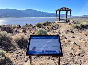
Deadman's Overlook Trail
4.01.28 mi / 318 ft gainDeadman's Overlook Trail is a loop trail where you may see beautiful wildflowers located near Washoe Valley, Nevada.Read more -
Carson City, Nevada
Goni Canyon Preservation League Walking Trail
3.01 mi / 95 ft gainGoni Canyon Preservation League Walking Trail is a loop trail where you may see beautiful wildflowers located near Carson City, Nevada.Read more -
Calpine, California
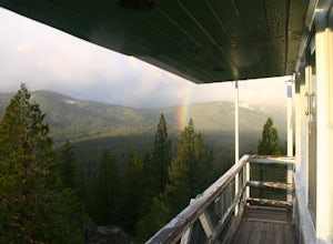
Camp at the Calpine Fire Lookout
5.0I think all explorers agree there is nothing more serene than being surrounded by nothing but wilderness. If you are one of these said explorers, a trip to Calpine's fire lookout is a must.Calpine is a forest fire lookout tower that was constructed in 1934 and is one of 3 remaining examples of th...Read more

