Pasadena, California
Looking for the best hiking in Pasadena? We've got you covered with the top trails, trips, hiking, backpacking, camping and more around Pasadena. The detailed guides, photos, and reviews are all submitted by the Outbound community.
Top Hiking Spots in and near Pasadena
-
Azusa, California
Summit Mt. Baden-Powell
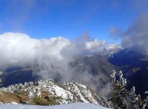
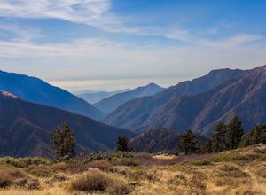
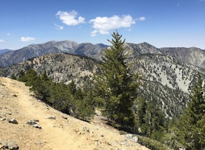
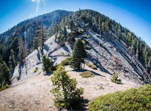
5.07.86 mi / 2808 ft gainThis well maintained and well traveled trail is a popular route with day hikers, backpackers, and Pacific Crest Trail through hikers. Since the trail is on the face of the mountain, snow may linger late into the season. The Pacific Crest Trail is clearly marked on the western corner of the Vinc...Read more -
Mount Baldy, California
Sunset Peak via South Trailhead
4.07.16 mi / 1493 ft gainIn order to get to the Sunset Peak Trailhead, utilize Google Maps to take you to the location provided. There is very little parking (only a small pull off along Glendora Ridge Road), but this trail is rarely traveled, so there should be enough space regardless of the time you decide to hike! Jus...Read more -
Claremont, California
Stoddard Canyon Falls (Baldy Slide Waterfall)
0.74 mi / 174 ft gainLocated near the Angeles National Forest, it's a short hike, approx. 0.75 miles roundtrip and just about anybody can go. To get there, input the intersection of Mt. Baldy Rd. and Barrett Stoddard Truck Trail into your GPS. This will bring you to a small dirt parking lot. The trailhead starts a...Read more -
Claremont, California
Stoddard Peak Trail
4.05.93 mi / 1129 ft gainOn the way to Mount Baldy and within the trail system of the San Gabriel mountain range is the Stoddard Peak Trail. The Stoddard Peak Trail, which is basically the old Barrett-Stoddard fire road, goes through the Stoddard Canyon into Stoddard Flat, and then eventually leads to Stoddard Peak. The ...Read more -
Los Angeles, California
Stoney Point via North End
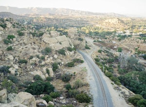
4.01.42 mi / 240 ft gainStoney Point via North End is an out-and-back trail where you may see local wildlife located near Chatsworth, California.Read more -
Stevenson Ranch, California
Hike the Towsley Canyon Loop
4.75.1 mi / 1340 ft gainThe Towsley Canyon Loop can be done in either a clockwise or counter-clockwise loop. The clockwise path starts with a gradual ascent through Wiley Canyon and steep descent into the Towsley Gorge while a counter-clockwise route starts with a steep climb out of Towsley Canyon and a gradual descent ...Read more -
Los Angeles, California
Stoney Point Park Loop
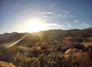
4.00.73 mi / 141 ft gainOnce you've parked along Topanga Canyon Blvd, make your way down the street and start the trail off near the steel gate, close to the horse stables. As you make your way in, you will notice some rock climbers practicing on the lower elevation rocks. Make your way around this rocky park, counter-...Read more -
Los Angeles, California
Hike up Chatsworth Park North
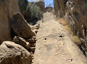
1 miFrom the parking lot, make your way through the park until you reach the bottom of a hill filled with huge rocks and boulders. It is very hard to miss.From here, you can pick any trail you wish. They will all lead up to the top. There's a lot of rock scrambling involved, as well as boulder hoppin...Read more -
Mount Baldy, California
Summit Mt. Baldy
4.812.12 mi / 5958 ft gainLocated only an hour’s drive from Los Angeles is the top of highest mountain in LA County—at 10,064 feet. Bear Flat Trail (also called the Old Mt. Baldy Trail) offers some of the finest scenery and most rewarding views in the San Gabriel Mountains high country. With nearly 6000 ft of elevation g...Read more -
Topanga, California
The Labyrinth at Tuna Canyon Park
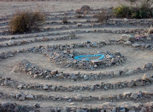
1.45 mi / 299 ft gainThis is a simple but steep 2.4 mile round-trip hike to a clearing on a mountaintop in Topanga/Malibu, about an hour's drive west of downtown LA. At the end of the hike you'll reach a clearing with incredible views. On a cloudy or foggy day, it feels like you're floating above the clouds; on a cle...Read more -
Topanga, California
Calabasas Peak Motorway
7.23 mi / 1565 ft gainGetting There You can, from Los Angeles, go one of three ways: take I-405 to US-101 and head west, or from downtown, take US-101 the whole way, OR, get on I-10 from the Westside or east of there and take that until it becomes PCH, then take that to Topanga Canyon (turn left onto Old Topanga Cany...Read more -
Valyermo, California
Blue Ridge Trail via Inspiration Point
4.97 mi / 692 ft gainThere are two trail heads for the Blue Ridge Trail, one via the Grassy Hollow Visitor Center, and the other across from Inspiration Point. When parking gets crowded over at Grassy Hollow Visitor Center, than parking at Inspiration Point is the better option. To access the Blue Ridge Trail from In...Read more -
Topanga, California
Red Rock Canyon to Calabasas Peak
4.04.53 mi / 1004 ft gainWhen you get to the parking lot be sure to pay the $5 parking fee. You will need to place this in the provided envelope and drop it in the iron ranger. Start the hike by following the fire road behind the gate. About a couple of yards in, you will see a trail on your left which leads to a ghoul...Read more -
Mount Baldy, California
Cedar Glen Camp
4.88 mi / 1650 ft gainCedar Glen Camp is a great beginner backpacking trip just outside of Los Angeles, California. Starting from the Icehouse Trailhead (also used for Cucamonga Peak), head out on the Icehouse Canyon Trail from the parking area. The trail will intersect with the Chapman Trail, at which point, you'll t...Read more -
Palos Verdes Estates, California
Bluff Cove
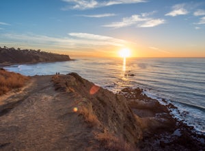
4.40.56 mi / 144 ft gainParking for Bluff Cove is located along the sides of the street of Paseo Del Mar, and the trailhead is located right next to the street. Bluff Cove is one of those unique locations in that there are a variety of activities you can do here. It is a great location for surfing, paddle boarding, bod...Read more -
Mount Baldy, California
Cucamonga Peak via Icehouse Canyon
4.611.13 mi / 4157 ft gainStart hiking early, before the sun rises so you can maximize the day out of the heat and to give yourself plenty of time for the hike. As you get to higher elevations, it will be a little cooler and there might be snow on the ground, so be sure to pack layers. This hike requires a permit. If yo...Read more

