Palm Desert, California
Looking for the best photography in Palm Desert? We've got you covered with the top trails, trips, hiking, backpacking, camping and more around Palm Desert. The detailed guides, photos, and reviews are all submitted by the Outbound community.
Top Photography Spots in and near Palm Desert
-
Hemet, California
Hike South Fork Trail
5.4 mi / 1056 ft gainBegin by following the unsigned but visible trail on the south side of the turnout. You climb steadily through bushes and past granite boulders. At half a mile, you pass over to the western slope of the hill where the trail bends southeast, providing your first look of the river valley far below....Read more -
Riverside County, California
Cap Rock Nature Trail
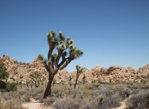
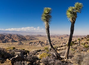
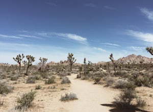
3.00.75 mi / 161 ft gainThere are two Joshua Trees guarding the trail, which makes for a perfect photo op. There are some monzogranite rock formations (of which the park is famous for). Watch for bunnies and lizards! The trail is handicap accessible, so parents with young children in strollers or those in wheelchairs ca...Read more -
Riverside County, California
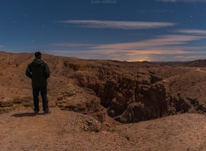
Night Hike Painted Canyon
Take Box Canyon Rd to Painted Canyon Road. Painted Canyon Road is a dirt road, so exercise caution. The road dead ends at the Painted Canyon Trailhead parking lot.Once on the trail, look out for markers and arrow rock piles pointing to the slot canyons and other trails. Some climbing is necessary...Read more -
Mecca, California
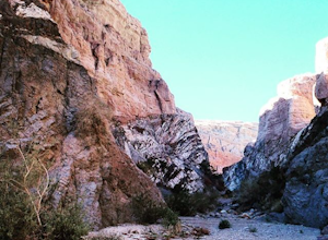
Hike the Ladder Canyon/Painted Canyon Loop
5.04 mi / 2215 ft gainFrom Interstate 10, take State Highway 195 (Box Canyon Road) to Painted Canyon Road. This well-maintained, dirt road goes for about 4 miles and leads into the sandy wash which runs the length of the canyon for approximately 1.7 miles. There are a few narrow side canyons which can be explored on f...Read more -
Mecca, California
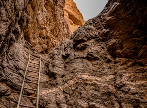
Hike Ladder Canyon in Mecca Hills
5.04.5 mi / 990 ft gainFrom Box Canyon Road turn on to Painted Canyon Road a dirt road that will lead you to the trailhead. From the trailhead start into the canyon. After a few hundred feet there will be rocks forming an arrow pointing you towards a ladder. Go up the ladder and follow the trail from here. There will b...Read more -
Riverside County, California
Hall of Horrors
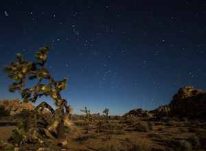
0.75 mi / 95 ft gainA trip to Joshua Tree is an adventure in itself, but if you plan so that you are shooting Joshua Tree under a full moon, you'll lose yourself in its beauty all over again. See the park's gorgeous, unique characteristics in a completely different light. Although there may seem to be infinite loca...Read more -
Riverside County, California
Climb at the Hall of Horrors in Joshua Tree
The Hall of Horrors is across the road from the well-known Saddle Rocks. There is good space in this crag, so don't be discouraged with a full parking lot. Like most places in Joshua Tree, the weather is the largest dictator on when and where you'll climb. There isn't much shade here, so waiting ...Read more -
Riverside County, California
Hidden Valley Nature Trail
4.41.03 mi / 164 ft gainTurn off of Park Blvd near Intersection Rock (there will be signs for the turn) and follow the paved road for about a minute. There is a large parking lot with many picnic tables. The trail begins with a slight uphill of around 100 ft and continues through a opening between two large rocks. Af...Read more -
Riverside County, California
Winter Hike to Ryan Mountain
2.86 mi / 1056 ft gainHike starts at the base of Ryan Mountain. The trail runs along side the mountain, offering great views overlooking Joshua Tree. Once you hit the summit, you'll get great panormaic views of the national park as the top of Ryan Mountain is at an elevation of 5457ft. The trail is open during all se...Read more -
Riverside County, California
Hike Ryan Mountain
4.82.86 mi / 1056 ft gainOne of the most prominent peaks in Joshua Tree National Park in Ryan Mountain. It's centrally located rising to a total of 5,456 feet above the valley floor. The trail to the peak is a moderate hike with a little over 1,000 feet elevation gain with panoramic views of Lost Horse Valley, Queen Vall...Read more -
Twentynine Palms, California
Camp at Hidden Valley in Joshua Tree
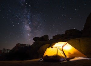
4.8Joshua Tree National Park is known for its world class rock climbing, out of this world landscapes, and some of the darkest skies around. Having a base camp inside of the park is incredibly important as it's quite massive and I found that Hidden Valley Campground is strategically placed smack dab...Read more -
Banning, California
Lake Fulmor Loop Trail
5.00.53 mi / 89 ft gainLake Fulmor is a small lake in the San Jacinto Wilderness near Idyllwild, CA. The trail loops around the lake offering spectacular views and is good for all skill levels. There are picnic tables, grills, and a small dock where you can peer out over the lake or cast a line. To fish in Lake Fulm...Read more -
Yucca Valley, California
Backpack the California Riding and Hiking Trail in Joshua Tree
36.97 mi / 2792 ft gainThe starting point for this hike is at the Black Rock campground, 5 miles from the town of Yucca Valley. You'll need to self register for a free backcountry permit before starting. The first section of the trail follows a wash then the trail narrows and, after only a mile or two, you'll begin cl...Read more -
Twentynine Palms, California
Watch the Sunset from Echo Rock
5.00.5 mi / 200 ft gainPark your car at the Echo Rock Parking Area. The trail starts next to the outhouse and heads north. As you walk through the sand, there is a large rock pile to your right, the top of that is your destination. Continue walking until you've reached the far north end of the rock formation and the...Read more -
Twentynine Palms, California
Willow Hole Trail in Joshua Tree National Park
6.8 mi / 341 ft gainThe Willow Hole hike begins at Boy Scout trailhead and winds past and through the Wonderland of Rocks to a marshy stand of willows. The trail is flat, but with little shade so be sure to bring lots of water! As you leave the parking lot you'll enter an expansive stand of Joshua Trees that grows...Read more -
Riverside County, California
Wall Street Mill
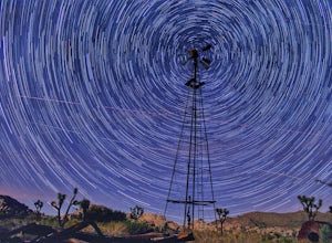
4.02.43 mi / 131 ft gainHike along the easy Wall Street Mill Trail for about one mile and you will reach the mill - if you are into night photography, this is an amazing subject that will bring you back again and again, always capturing something different. Explore around off trail - there are tons of boulders to play a...Read more


