Pacifica, California
Looking for the best hiking in Pacifica? We've got you covered with the top trails, trips, hiking, backpacking, camping and more around Pacifica. The detailed guides, photos, and reviews are all submitted by the Outbound community.
Top Hiking Spots in and near Pacifica
-
Berkeley, California
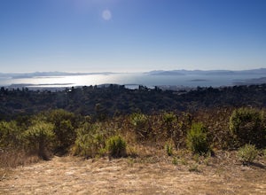
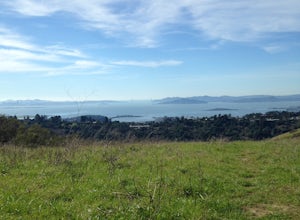
Seaview and Big Springs Loop
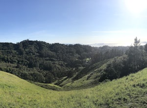
4.54.28 mi / 1007 ft gainThe trail is dog and horse friendly, and many trail loops make Tilden Regional Park fun for families and those of any skill level. The Seaview and Big Springs Trail loop is typically used by avid hikers, trail runners, or mountain bikers. The first half of the trail is exposed to the sun and rock...Read more -
Kensington, California
Tilden Little Farm
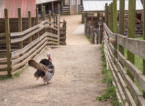
4.0First make sure to stop at the store and stock up on fresh lettuce and celery for the animals. Your kids (or just the kid in you) will love to feed them! Note that they're only allowed to eat lettuce and celery, so don't try to feed them your own snacks or get creative. ;) If you want to make it...Read more -
Stinson Beach, California
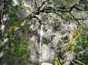
Cataract Falls
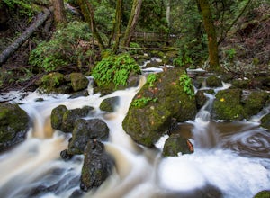
4.22.81 mi / 1184 ft gainThe Bay Area is home to many beautiful waterfalls, but Cataract Falls located about an hour north of San Francisco is one of the most stunning. Be sure to head out on this hike after a recent rain. Cataract Falls is a picturesque waterfall located in the Mt. Tamalpais Watershed near Stinson Be...Read more -
Fairfax, California
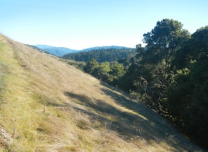
Lake Lagunitas
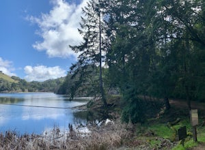
4.01.6 mi / 176 ft gainLocated near Fairfax, California, this trail is relatively flat and provides peaceful views of the lake as you pass over small creeks and groves of redwoods. It's good for all skill levels and is accessible year-round. It's a great trail for families and beginner mountain bikers.It can be a littl...Read more -
Berkeley, California
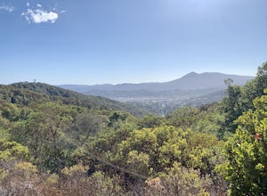
Wildcat Peak via Nimitz Way
4.74.16 mi / 459 ft gainTilden Park is a beautiful recreational area with scenic hiking trails, a swimming lake, small animal farm, a steam train and botanical gardens. The versatility of this park makes it very family and kid friendly, and those who are looking for a moderate hike within the park have almost forty mile...Read more -
Orinda, California
Wildcat Peak Loop
4.05.89 mi / 1050 ft gainFrom Inspiration Point, head toward Nimitz gate. Once you pass through the gate, keep an eye out for Curran Trailhead; this is the trail you'll be starting on. After about 1/8 of a mile, you'll reach a junction with the Meadows Canyon Trail. Turn right onto this trail to continue the loop. This p...Read more -
Ross, California
Phoenix Lake Loop
4.52.85 mi / 518 ft gainEnjoy the peacefulness of making it out to the lake for a quick hike without worrying too much about challenging climbs or difficult terrain. Take the wide fire road from the car uphill and then jump on the Phoenix Lake Trail. From here, you’ll combine this trail with the Gertrude Orr and Bill Wi...Read more -
Los Altos, California
Park Day at Foothills Park
1.7Disclaimer: Foothills Park requires proof of residence in Palo Alto or being accompanied by a resident of the city. Learn more here.Foothills Park is 2.7 miles west of 280 after exiting Page Mill. After exiting you take a short scenic drive up the hill and come to the park entrance on your right...Read more -
La Honda, California
Sam McDonald Park Loop
5.012.19 mi / 2192 ft gainThe Pescadero Creek Park Complex is a great place to escape for a day or overnight hike in the heart of the Bay Area. You will need to get a permit to stay overnight - these can be attained on a first-come, first-serve basis from the ranger station. Most of the campsites here are also available f...Read more -
Richmond, California
Hike the Wildcat Canyon Loop
4.010.5 mi / 2300 ft gainStarting off on Wildcat Creek Trail, the trail is wide and rolling. After about 4 miles make a left on Jewel Trail, then onto Sylvan Trail. Another left puts you on Wildcat Peak Trail. Be sure to check your map, as many trails intersect here. Wildcat Peak Trail runs into Nimitz Way, at which poin...Read more -
Fairfax, California
Carson Falls
4.03.75 mi / 863 ft gainAre you tired of crowds on your hikes? First, shame on you for getting up so late and moving so slowly. Did you really need Philz before you got on the trail? Ok, now that you’ve been thoroughly chastised, let’s start planning a hike to the less-frequented Carson Falls. Like any of the falls in ...Read more -
San Rafael, California
Gold Hill Grade to Nike Missile Site
4.04.37 mi / 988 ft gainThe Gold Hill Grade to Nike Missile Site trail in San Rafael, California, is a moderately challenging hike. The trail spans approximately 4.37 miles round trip, with an elevation gain of about 988 feet. The path is well-maintained and marked, making it suitable for hikers of varying skill levels....Read more -
La Honda, California
Hike the Brook Trail Loop
7.1 mi / 1500 ft gainThe Brook Trail Loop is a beautiful hike, starting off in Sam McDonald County Park and later entering into Pescadero Creek County Park. This adventure can be done in any season, with the trails almost entirely shaded for even the hottest summer days. Starting off from the Heritage Grove trailhead...Read more -
Loma Mar, California
Camp Under the Redwoods at Memorial Park
With old growth redwoods and a creek swimming area, Memorial Park is a perfect escape from the hustle and bustle of the Bay Area. Memorial Park is only a few miles east of the town of Pescadero. To get here, you can either approach from Highway 1 and drive up Pescadero Creek Road or take Highway ...Read more -
Loma Mar, California
Bike Pescadero Creek County Park
5.012.5 mi / 1350 ft gainPescadero Creek County Park and the connected Sam McDonald and Memorial Park are located deep in the Santa Cruz Mountains holding a vast network of secluded trails. From biking to backpacking, this area is a perfect place for a day or weekend adventure. This area also has the added bonus having r...Read more -
Los Altos, California
Hike the Monte Bello Open Space Preserve Loop
4.52.9 mi / 600 ft gainThis hike is best done in the late fall, winter, and spring so that the creek is running and the hills are green. Starting at the preserve parking lot, the first half of the hike is predominantly downhill. At the main trailhead, start in the direction of the Stevens Creek Nature Trail, as told by...Read more

