Owens River, California
Looking for the best photography in Owens River? We've got you covered with the top trails, trips, hiking, backpacking, camping and more around Owens River. The detailed guides, photos, and reviews are all submitted by the Outbound community.
Top Photography Spots in and near Owens River
-
Lakeshore, California
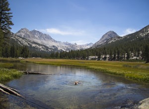
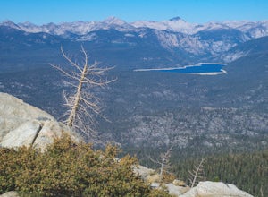
Evolution Valley via Florence Lake
4.530.36 mi / 3238 ft gainYou can get to the Evolution Basin a variety of ways, but the easiest is through the Florence Lake Trailhead. Here, you can choose to either take the Florence Lake Ferry across the lake, or save $25 and hike the extra 4 miles around the lake. Personally, I would choose the ferry. About five mile...Read more -
Sierra, California
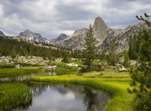
Rae Lakes Loop
5.039.08 mi / 7316 ft gainDay one: After checking in with the park ranger and getting your required permits you will start your hike along a 1.8 mile stretch along the south fork of the Kings River. At this point, people typically go clockwise toward Paradise Valley but you can also go counterclockwise along Bubbs Creek. ...Read more -
Shaver Lake, California
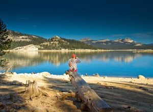
Camp at Voyager Rock Campground
4.0The paved road ends at the Maxson Trailhead parking lot on the SE side of Courtright Reservoir. The adventure starts with a glance to the left, down a rock-strewn dirt track that leads off further into the wilderness. You're wondering, "Is that the trail?" and "Do I dare?"The Dusy-Ershim Trail of...Read more -
Mono County, California
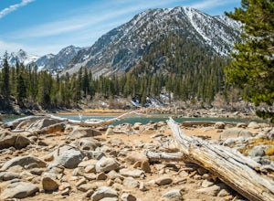
Fishing at Convict Lake
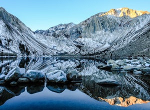
4.3Many people come to Convict lake for the fishing. Convict is located only 2 miles off the main highway in the Eastern Sierras. The lake is clear and pristine with beautiful views. There are various ways to fish here; some rent out boats or bring their own and cruise around the lake fishing. O...Read more -
Mono County, California
Summit Mount Baldwin (12,614')
15 mi / 5000 ft gainDirections The hike for Mount Baldwin starts at the Convict Lake trailhead. The turn off for Convict lake is about 4.5 miles south of the Mammoth Lakes exit along the 395 and roughly 35 miles North of Bishop, CA. Take this exit and follow the road West towards the mountains. Turn right at the ...Read more -
Mammoth Lakes, California
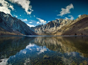
Convict Lake
4.92.46 mi / 56 ft gainIn 1871, a group of inmates escaped from a prison and were ambushed near the lake by a posse who had tracked them down. The inmates escaped the shoot out after killing two of the men in the posse and the lake now had a name – Convict Lake. You won’t witness a wild west shootout here, but if you ...Read more -
Wild Willy's Hot Spring, United States
Wild Willy's Hot Spring
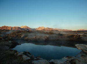
5.0Also known as "Crowley Hot Springs", Wild Willey's is located a short drive from Mammoth Lakes. For more information on the hot springs and the public land restoration, check out the BLM's Website. From Mammoth Lakes, head south on the 395 for 3.5 miles until you make a left at Benton Crossing Rd...Read more -
Seven Pines, California
Mt. Williamson via Shepherd Pass
5.026.66 mi / 10653 ft gainThis trail starts at the lowest, and generally regarded hardest, trailhead in the Southern Sierras. You quickly gain elevation in what many describe as manageable but relentless. The first section of the hike has nice shade and adequate water access. Very enjoyable company to boot! Once you cros...Read more -
Mono County, California
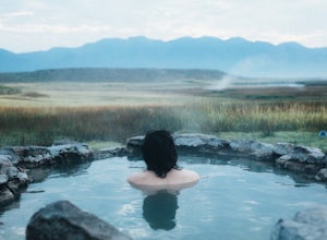
Crab Cooker Hot Springs
Getting There: Take Highway 395 heading toward Benton Crossing Road. Turn onto Benton Crossing and you’ll see an adorable wee green church. Continue two miles down the road. You’ll make a left turn and head down a dirt road. Cell service is scant in this area, so you'll probably want to...Read more -
Mono County, California
Shepherd Hot Springs
4.0Located a short distance from US 395 near Mammoth/Yosemite Airport, Shepherd Hot Spring provides a great opportunity to relax while taking in spectacular views of the Eastern Sierras and surrounding area. After a hard day on the slopes or long day on the trail this hot spring provides a comforta...Read more -
Mono County, California
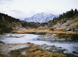
Hot Creek Geological Site
4.8Hot Creek Geological Site is a must see when you are in the Mammoth Lakes area. It is just West of Highway 395 and only minutes form the town of Mammoth Lakes, which has great food, a ski resort, world class mountain biking, and a brewery. Bishop is about 40 minutes South which is well known for ...Read more -
Inyo County, California
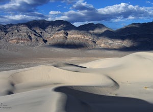
Explore Eureka Dunes and Hidden Dunes
THE HIDDEN DUNES HIKEFrom the well, you will want to hike towards a gap in the mountains off to the West. Hopefully, you were able to see the dunes on the way in as described above to help gauge the direction to head in. A map, or GPS, can make this easier too, but probably isn’t needed. Just oc...Read more -
Lakeshore, California
Hike to White Bark VIsta
2.3 mi / 462 ft gainA short 1 mile hike in from Kaiser Pass will lead you to the top of a ridge line with incredible views toward the east. There are two pit toilets located at the top of Kaiser Pass. If you have a high clearance, 4x4/AWD vehicle you can probably drive to this location. (I made it up here in a stock...Read more -
Mammoth Lakes, California
Sherwin Lakes Trail
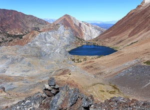
5.04.42 mi / 850 ft gainJust outside the town of Mammoth Lakes, CA is the Sherwin Lakes Trailhead. An easy 10 minute drive down some dirt roads will get you to the dirt parking lot where you can safely leave your vehicle and begin your fairly easy 2.5 mile hike to Sherwin Lakes. (Valentine Lake is not much further beyon...Read more -
Mammoth Lakes, California
Heart Lake
5.02.11 mi / 500 ft gainYou will see a couple of trailheads starting by parking at the Coldwater Creek Campground parking lot. This one is specifically marked Heart Lake. There will be a couple of forks in the trail, but if you stay right and on the more obvious path, you will be up to Heart Lake in no time. (Going left...Read more -
Mammoth Lakes, California
Duck Lake via Duck Pass Trail
4.79.29 mi / 1880 ft gainThe Duck Pass trail in the John Muir Wilderness combines breathtaking views, wildflowers and plenty of icy mountain lakes for swimming into a trail that is moderate in both difficulty and distance. With multiple lakes along the way to pitch your tent and plenty of day hike options from a base cam...Read more

