Olympic Valley, California
Looking for the best photography in Olympic Valley? We've got you covered with the top trails, trips, hiking, backpacking, camping and more around Olympic Valley. The detailed guides, photos, and reviews are all submitted by the Outbound community.
Top Photography Spots in and near Olympic Valley
-
Truckee, California
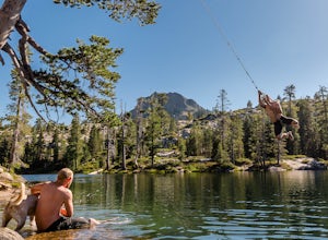
Swim at Long Lake near Truckee
3.71.5 mi / 100 ft gainThe story goes that twenty or so years ago, long before the advent of the Royal Gorge Cross-Country Ski Area, some local Truckee boys decided to put a couple rope swings up on Long Lake near Soda Springs, CA, and they remain there to this day.Long Lake sits amongst a cluster of both man-made and ...Read more -
Washoe County, Nevada
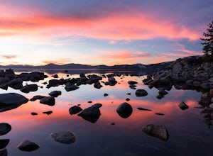
Sand Harbor Nature Trail
4.50.54 mi / 33 ft gainWhile Sand Harbor Park is a popular summer destination, the sunsets from this spot are breathtaking year round and you will have less company in the winter. The park is located right off of Highway 28 and has an admission fee of $7. There is a parking lot that fills up quickly in the summer, so a...Read more -
New Washoe City, Nevada
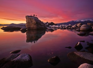
Photograph Bonsai Rock
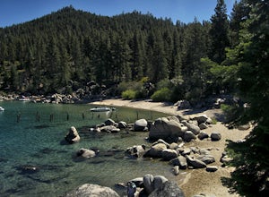
5.0Bonsai Rock is a popular attraction for photographers as it is a unique boulder with tiny trees growing out of it, enclosed next to the shoreline. This makes it a beautiful place to enjoy a scenic sunset, as well as play with some long exposure photography.It's located on the east side of Lake Ta...Read more -
Carson City, Nevada
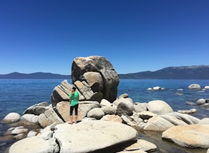
Relax at Tahoe's Chimney Beach
5.02.2 miLocated on the East Bank of Lake Tahoe along Highway 28, Chimney Beach is a great alternative to the more popular and heavily used beaches which can be quite a challenge to gain access due to the parking limitations during the busy summer months and on weekends.From the parking area on the east s...Read more -
South Lake Tahoe, California
Hike the Rubicon Trail
5.07 mi / 400 ft gainThe Rubicon Trail is a through hike connecting D.L. Bliss State Park and Emerald Bay State Park. You can start at either point. I opted to start at D.L. Bliss State Park to avoid the long walk uphill to catch the Nifty Fifty shuttle. Also, there is more available parking at Bliss. Park your c...Read more -
South Lake Tahoe, California
Hike the Lighthouse Trail at D.L. Bliss State Park
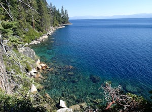
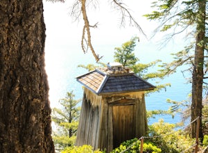
4.82.3 mi / 505 ft gainThe Lighthouse Trail is a 2.3 mile loop located in D.L. Bliss State Park on the lower west side of world famous Lake Tahoe. To get the trail, enter the park through the main entrance ($10 parking fee), the follow the road until you see two parking areas of the left side with about 6 or 7 spots e...Read more -
Carson City, Nevada
Hike to Skunk Harbor
4.5The parking for Skunk Beach is very limited and a little difficult to find. Make sure you get there early if you want a spot. The parking is a turnoff along highway 28, about two miles north of the junction with highway 50. There is no trail sign or anything but there is an old green pipe gate wh...Read more -
South Lake Tahoe, California
Boulder at D.L. Bliss State Park
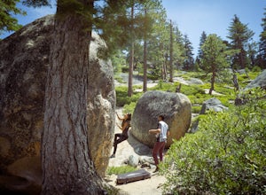
This place is bouldering heaven. Short approach to the first boulders, challenging routes for every level, good landings, and set in a beautiful area. It's like Bishop, but without the long drive.Technically you can come anytime in the season, but it is highly suggested to get a morning session i...Read more -
Loch Leven Lakes Trailhead, California
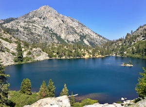
Loch Leven Lakes Trail
4.47.6 mi / 1480 ft gainThe trail is easy to follow for the first half mile until you get to some large slabs of granite. As you continue up the trail look for stacked rocks, these will give you a an easy route as you continue up the mountain. The trail then starts to switch back eventually leading to a small bridge. Af...Read more -
South Lake Tahoe, California
Emerald Bay
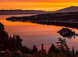
4.31.84 mi / 358 ft gainThe View at Emerald Bay is not to be missed. This is an amazing place to catch a sunrise over the lake or to see the east side of the lake lit at night. During the day, you should take the quick hike down the trail to enjoy the beach to rent a kayak and explore the dark blue water. The perspecti...Read more -
South Lake Tahoe, California
Capture the Milky Way over Emerald Bay
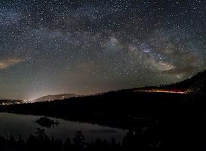
4.5There is a reason Emerald Bay is one of the most photographed places in the world and that is because of its stunning beauty! I am sure you have experienced it during the day, but the bay really comes alive at night. The Milky Way reaches over all of Emerald Bay and it is a sight to see! Head out...Read more -
Glenbrook, Nevada
Catch a Sunset at Cave Rock
4.70.8 mi / 127 ft gainThis short hike is just off of highway 50 and provides one of the best views of Lake Tahoe. From South Lake Tahoe, head north on Highway 50 past Zephyr cove until you see Cave Rock Drive. Take this road until it dead ends and park in the small gravel lot. After following the trail out of the park...Read more -
Reno, Nevada
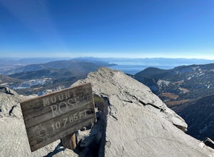
Mt. Rose Summit Loop
5.010.74 mi / 2392 ft gainThis challenging hike offers great views of the greater Tahoe area. The first part of the hike to the waterfall is relatively easy, but once you pass that, you'll be doing a decent climb to the summit. During the summer months, you'll want to get an early start as there can be a decent crowd head...Read more -
South Lake Tahoe, California
Rock Climb at Eagle Lake Cliffs
4 miTo Access Eagle Lake Cliffs Crag, head to the West Shore of South Lake Tahoe. You’ll want to park at Emerald Bay Parking Lot and head to the trail register. It’s almost always packed, so come early, or plan to park on the road and walk. Sign yourself and your party number in for the day access pa...Read more -
South Lake Tahoe, California
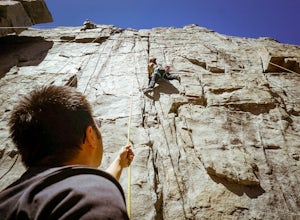
Rock Climb the 90ft. Wall
5.0Park at the Eagle Creek Canyon parking lot. If it's full, park alongside the Hwy 89, right at the entrance of the Eagle Creek Canyon parking pullout. Both parking areas fill up quickly, so if those two are full, park across the street at Emerald Bay Vikingsholm Trail parking lot. That area can fi...Read more -
South Lake Tahoe, California
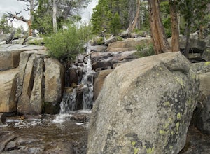
Eagle Falls & Eagle Lake Loop
4.42.39 mi / 617 ft gainEagle Falls Trail is located off Highway 89 and is surrounded by some of the most beautiful landscapes in California. Eagle Falls is one of the most popular short hikes in Lake Tahoe because of its beautiful cascading waterfalls, lush green scenery, and trees. Alongside one of the bluest pristine...Read more

