Ojai, California
Ojai, California, is a great destination for outdoor adventurers. From scenic trails to must-visit attractions, there are plenty of top outdoor activities to explore in and near the area. Hiking, biking, and camping are all popular activities in the area, and there are plenty of trails to explore. The Los Padres National Forest is a great spot for those looking for a more adventurous experience. For something a bit more relaxed, you can check out the Ventura River Preserve or the Ojai Valley Trail. There are also plenty of nearby attractions, such as the Ojai Valley Museum and the Ojai Valley Inn & Spa. Whatever your outdoor interests, you'll find something exciting and unique to satisfy your curiosity in and near Ojai, California.
Top Spots in and near Ojai
-
Malibu, California
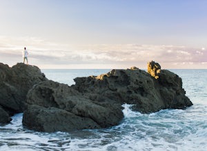
Camp at Point Mugu's Sycamore Canyon Campground
The beach at Point Mugu State Park is just far away enough from the bustling town of Malibu and its popular beaches to feel like you are still secluded with nature. A great way to be close to the beach at Point Mugu State Park and access it easily whenever you want would be to camp at the Sycamor...Read more -
Malibu, California
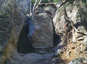
Grotto Trail
2.64 mi / 492 ft gainWho doesn't enjoy a hike that offers water, scenic views, boulder hopping and a subterranean cave? I know I do! The Grotto Trail begins at Circle X Ranch, which looks a bit like a small cowboy western store, and is approximately 6 miles from the Highway 1 (PCH). The parking is a tad tight, fittin...Read more -
9000 Pacific Coast Highway, California
Cookout at Sycamore Cove Beach
If you ever wanted to see dolphins and seals playing and feeding in the surf while getting ready to barbecue, this is the spot for it. Whether you want some summer rays or some of our wicked wacky winter weather, Sycamore Cove will deliver. Usually isolated enough to keep large crowds away, this ...Read more -
12869 Yerba Buena Road, California
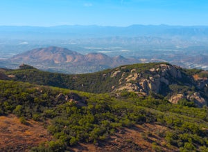
Mishe Mokwa Trail to Sandstone Peak
5.07.06 mi / 1755 ft gainTake Yerba Buena road to the trailhead. It is less zigzagged and shorter distance from PCH. Parking is easy provided that you start early in the morning. If the lot is full, you can always park on the side of the road. Bathroom is available at Sandstone Peak Trailhead parking lot, just 0.8 miles ...Read more -
Malibu, California
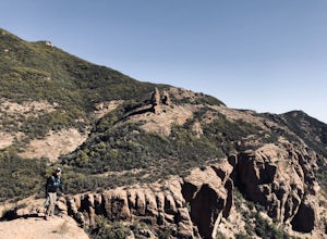
Sandstone Peak
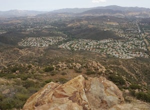
4.83.03 mi / 971 ft gainIf you live in Los Angeles, Sandstone Peak is a must! The hike to the summit can be done on a 2 mile hike up and back on Sandstone Peak Trail, or a 6.5 mile hike up and back on Backbone Trail. The shorter trail is more popular, yet both are equally rewarding. You won't believe the views from the...Read more -
Malibu, California
Balanced Rock via Sandstone Trailhead
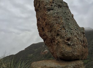
5.04.36 mi / 1125 ft gain...From the PCH, make a left turn on Yerba Buena road (turn right if you're coming South) for about 6 miles until you get to the dirt parking area. If the lot is full, there's extra parking on the side of the road. FYI, Balanced Rock can also be accessed by starting at the Mishe Mokwa trailhead,...Read more -
Westlake Village, California
Climb at Echo Cliffs
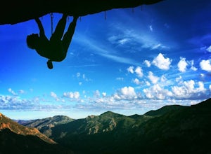
1.3 miThe hike to the crag is about 1.3 miles one way and takes roughly 45 minutes. The approach starts at the Backbone / Mishe Mokwa trail head off Yerba Buena Rd. After walking a couple minutes you'll see a sign pointing left for the backbone trail or straight for Mishe Mokwa. Continue straight and ...Read more -
Ventura, California
East Anacapa Island Loop
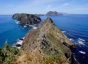
2.31 mi / 269 ft gainLeaving from either Ventura or Oxnard via Island Packers, this full-day hike is in the middle of the Santa Barbara Channel on a small island, about one hour from Los Angeles by car and one additional hour by boat. Without a beach on which to anchor, your boat will pull into Landing Cove and idle ...Read more -
Castaic, California
Hiking the Piru Creek Gorge Trail
Take the I-5 exit North of Castaic, CA at Templin Hwy. Turn onto Golden State Hwy heading the only direction it goes from the exit, North. When it dead-ends in a few miles at the National Forest Gate, you are at Frenchman's Flat.You can camp here, or hang with the day hikers. Heading North along ...Read more -
Ventura, California
Dive East Fish Camp
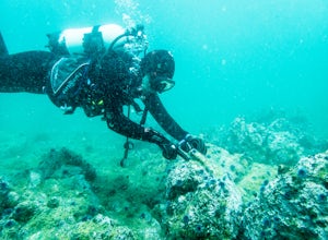
The numerous kelp forests, sea caves, and coves of the Channel Island National Park, coupled with its unbelievable sealife makes for some of the best diving in the world. East Fish Camp off Anacapa Island is an excellent introduction to diving on the Channel Islands, with an average depth of 35'...Read more -
Santa Barbara, California
Hike to Knapp's Castle
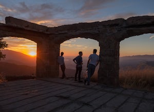
4.20.8 miOne of the many hidden gems near Santa Barbara, Knapp's Castle is an abandoned home built in 1916 by George Knapp. Finding the trailhead can be difficult because it's not clearly marked and the road it's starts from is long, winding and narrow. Coming from the 154, turn right on East Camino Cielo...Read more -
Oak Park, California
China Flat Trail to Simi Peak
5.05.03 mi / 1398 ft gainFrom the trailhead, simply follow the trail headed up the mountain. The first 2 miles is the hardest part of the hike, because of the steep ascent. Continue on until you hit a junction. Turn left, and you will eventually see an old rusty gate, and a sign which says "China Flat Trail". You will ...Read more -
Ventura, California
Dive East Cat Rock
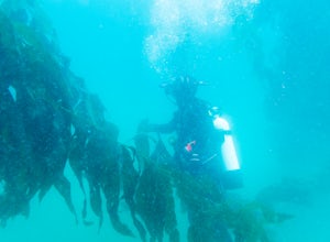
East Cat Rock of Western Anacapa Island is an excellent dive site for experience the vast kelp forests that can be found all along the California Coast and in the Channel Island National Park. The average depth is around 60' feet and clarity varies from day to day. Kelp forest and coldwater divin...Read more -
Ventura, California
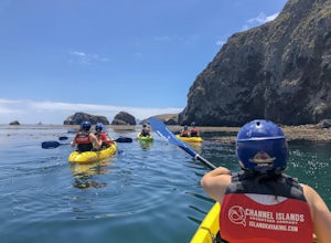
Kayak Santa Cruz Island
4.5As the largest of the Channel Islands, Santa Cruz Island in the Channel Island National Park is an ecological treasure, and to kayak it is to get to experience it in a manner unlike any other. Getting to the island is easiest through Island Packers where you can also reserve a kayak (so pack effi...Read more -
Ventura, California
Cavern Point & Potato Harbor Loop
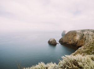
4.99 mi / 545 ft gainTucked away in the Pacific Ocean just 25 miles from the coast, the Channel Islands are one of Southern California’s hidden gems. With towering cliffs and isolated beaches that hug the coast, this place makes you feel worlds away from home. Channel Islands National Park is comprised of five island...Read more -
Ventura, California
Potato Harbor via North Bluff Trail
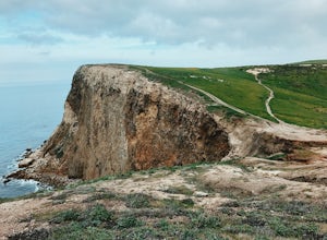
4.49 mi / 463 ft gainThe 4.5-mile North Bluff Trail traverses the colossal cliffs of Santa Cruz Island in Channel Islands National Park from Scorpion Anchorage to Potato Harbor. Arrive via an Island Packers boat to Scorpion Anchorage and, upon disembarking, walk straight ahead. Just past the restrooms (one of only tw...Read more

