Oakland, California
Looking for the best hiking in Oakland? We've got you covered with the top trails, trips, hiking, backpacking, camping and more around Oakland. The detailed guides, photos, and reviews are all submitted by the Outbound community.
Top Hiking Spots in and near Oakland
-
Inverness, California
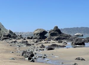
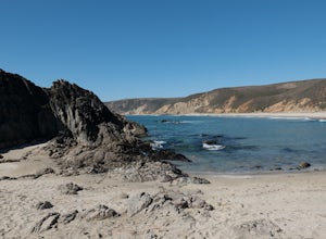
Marshall Beach Trail
5.02.41 mi / 305 ft gainMarshall Beach Trail is an out-and-back trail that provides a good opportunity to see wildlife located near Inverness, California.Read more -
Inverness, California
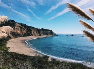
Watch the Sunset at Point Reyes Lighthouse
3.7From San Francisco, drive north over the Golden Gate Bridge and onto the scenic Route One. Plan to spend a full day on the round trip if you're going for the first time; along the drive, you'll most likely want to stop every ten minutes to check out the charming seaside towns or the stunning coas...Read more -
Davenport, California
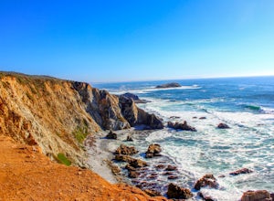
Hike around Greyhound Beach and Climb Greyhound Rock
0.7 mi / 0 ft gainThe trailhead is at the Greyhound Rock State Marine Conservation Area which is directly off Highway 1. There is a large paved parking lot with a good amount of trees so finding a shady parking spot isn't that difficult (if that's important to you). The parking lot is located on the beach cliffs ...Read more -
Saint Helena, California
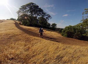
Hike Bald Mountain, Sugarloaf Ridge SP
5.06 mi / 1540 ft gainPark at the top of Adobe Canyon Road in the gravel parking lot to the left of the ranger kiosk. There is a $7.00 parking fee.There are many options for routes to the top; the easiest of which is mostly paved (although still steep in parts). To take this route, head north out of the trailhead park...Read more -
Inverness, California
Tomales Point Trail
4.79.47 mi / 1165 ft gainThis hike will take you through the Tule Elk Preserve in Point Reyes Nation Seashore, and offers fantastic views of Bodega and Tomales Bay, as well as the Pacific Ocean. Start at the Tomales Point Trailhead near the Historic Pierce Point Ranch. Follow the trail for roughly three miles. This trai...Read more -
Inverness, California
McClures Beach
1.44 mi / 243 ft gainThis beach is really easy to get to. Just follow Pierce Point Road until you see the sign to the beach. It's an easy hike down from the parking lot. There is very little shade, so make sure to bring some sunscreen. Be extremely cautious with getting into the water. There is likely underwater cu...Read more -
Kenwood, California
Pony Gate-Canyon Loop
4.02.17 mi / 568 ft gainThe Pony Gate-Canyon Loop within Sugarloaf Ridge State Park is a new favorite of mine on my list of family and kid-friendly hikes. Our little girls did great with this hike and loved it. If you can get moving early in the day and begin your hike around breakfast time, you might find there are few...Read more

