O'Brien, California
Looking for the best hiking in O'Brien? We've got you covered with the top trails, trips, hiking, backpacking, camping and more around O'Brien. The detailed guides, photos, and reviews are all submitted by the Outbound community.
Top Hiking Spots in and near O'Brien
-
Pacific Crest Trail, California
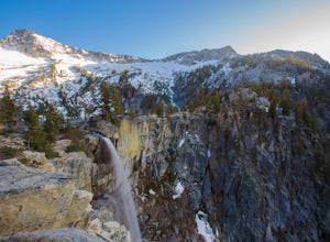
Hike or Backpack the Dead Falls Lake Trail
5.08.1 mi / 1358 ft gainThe Dead Falls Lake Trail is perfect for families, dog, and all adventurers. In the spring and summer, there are gorgeous and abundant wildflowers. There is a perfect lunch spot at Deadfall Lake. Close to the gargantuan Shasta, Mount Eddy is the highest peak in the Klamath Mountain. Mount Eddy o...Read more -
McCloud, California
Algoma Campground
The Algoma Campsite is a free campsite along the Upper Portion of the McCloud River. It features eight sites and a pit toilet. Unlike the other campgrounds in the area, this site receives very little traffic and has no fee. To get there, take SR 89 east from the McCloud Ranger Station for 13 mi...Read more -
Burney, California
Northshore Campground
The name of the campground, Northshore Campground, speaks for itself. It's located on the northern side of Lake Britton, across the water from the main state park camping area. This is nice for us as it's easier to get a spot, and it's much quieter. Campground Reservations It's a PG&E campgr...Read more -
Mount Shasta, California
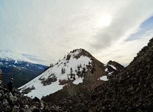
Black Butte
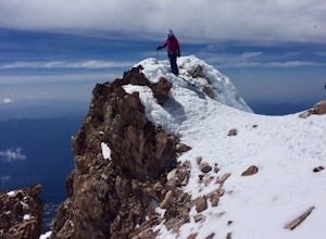
5.05 mi / 1608 ft gainBlack Butte is hard to miss from I-5 as it winds past the city of Mount Shasta. This lava dome formed roughly 9,000–10,000 years ago and isn't a cinder cone, though it does look like one. The rock that makes Black Butte was extruded instead of spewed, then broke apart as it cooled. The jumbled re...Read more -
Mount Shasta, California
Winter Summit Black Butte
5 mi / 2000 ft gainNote: February thru early March are great times to climb it for a winter ascent without snowshoes. If there is no snow seen from the south (e.g. on I-5 heading north to Mount Shasta City), don't be too worried. As long as there is snow on the surrounding peaks (e.g. Trinity Alps) around the same ...Read more -
Junction City, California
Camp at Junction City Campground
3.0Junction City Campground is home to 22 tent/trailer campsites, paved loop road, vault toilets, potable water, fire rings, and picnic tables. MAX trailer length is 40 feet. The campground is located 1.5 miles west of Junction City on State Highway 299.Dogs are welcome in the campground -- please k...Read more -
McCloud, California
Mt. Shasta via Clear Creek Route
11.43 mi / 7615 ft gainThe least technical route to the summit of Mt Shasta begins at the Clear Creek Trailhead (elevation 6390 ft). Please note that although this is a less technical route, this is still dangerous and there have been deaths on Mt. Shasta because of falling rock. To start this, you should be a good hik...Read more -
Gazelle, California
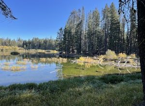
Hike the Fen Trail at Kangaroo Lake
The Fen Trail around Kangaroo Lake is a beautiful secluded camping and hiking area in the Klamath Forest of Northern California. It connects to the Pacific Crest Trail (PCT), where you can hike up through Oregon and Washington to Canada, or south through to Yosemite.The trailhead starts at the Ka...Read more -
Forks of Salmon, California
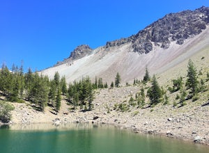
Grizzly Lake via China Gulch Trailhead
4.414.6 mi / 5112 ft gainGrizzly Lake is in the Trinity Alps Wilderness. The lake is know for its brilliant waterfall flowing from the lake's surface straight off the side of a cliff and roughly 600 feet down to the meadow below. Grizzly lake is located in some of America's most amazing and remote alpine wilderness, incl...Read more -
Shingletown, California
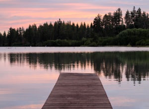
Manzanita Lake Loop
4.01.88 mi / 121 ft gainManzanita Lake Loop Trail is a loop trail that takes you by a lake located near Old Station, California.Read more -
Shasta County, California
Camp out at Manzanita Lake Cabins in Lassen Volcanic NP
Deep in the Lassen National Forest is the beautiful and surprisingly one of the least visited National Parks, Lassen Volcanic National Park. On the north entrance of the park, you will find the beautiful Manzanita Lake Cabins and Campground with the gorgeous blue lake in the foreground. Getting ...Read more -
Shingletown, California
Hike the Chaos Crags Trail
3.8 mi / 915 ft gainManzanita Lake campground is located about 1/2 mile past the Northwest entrance of Lassen Volcanic National Park. The trailhead is located just before the campground sites about 0.1 mile off of the main road and marked with a sign (including a map) and a few parking spaces. The trail starts o...Read more -
Siskiyou County, California
Climb Mt. Shasta via the Hotlum-Bolam Ridge
10 mi / 7200 ft gainThe Hotlum-Bolam route follows the ridge between the Hotlum and Bolam Glaciers on Shasta's north side. It's an intermediate route that isn't much more technical than the south side routes, except for icy sections and possible late-season open crevasses. For this reason it's a popular alternative ...Read more -
Platina, California
Hike to Massacre Natural Bridge
5.01 miNatural Bridge is a historic/geologic site located near Hayfork, CA off Wildwood Road near Chanchelulla Peak in the Shasta-Trinity National Forest. To get there take Hwy 36 or 299 to Hwy 3/Hayfork, then take Wildwood Road to Forest Service Road 31N19 (unpaved)- Natural Bridge is a mile or two off...Read more -
Old Station, California
Subway Cave Lava Tubes
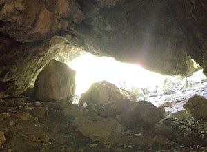
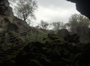
5.00.65 mi / 33 ft gainThe Subway Cave Lava Tube is located at Old Station in the Lassen National Forest. About 26 miles south of Burney, CA. If coming from the North, it is on Highway 89 (Volcanic Legacy Scenic Byway) on your left right before Highway 44. If coming from Redding, about 60 miles away, you would enter th...Read more -
Shasta County, California
Visit Sulphur Works at Lassen Volcanic NP
4.02 mi / 200 ft gainLassen Volcanic National Park is a wonderland of lush pine forests, arid rocky terrain, boiling lakes, snow-capped peaks, and extremely diverse wildlife. I recommend at least a week to explore this underrated national park, but if you are only driving through, you can still enjoy some of the won...Read more

