Novato, California
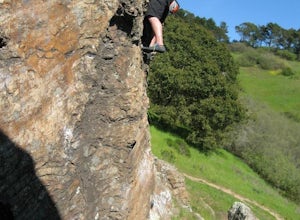
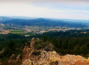
The best Trails and Outdoor Activities in Novato, California, offer top outdoor adventures. The Indian Tree Preserve is a must-visit for hikers, renowned for its scenic views and diverse vegetation. This 6.5-mile loop trail is moderately difficult, with an elevation gain of 1,200 feet. The trail features a stunning array of native plants and wildlife, with a creek crossing adding to its allure. For those interested in bird watching, the Rush Creek Open Space Preserve is a prime location. The flat terrain and wetlands attract a variety of bird species. The Stafford Lake Park, set against the backdrop of Mount Burdell, offers fishing, picnicking, and disc golf. For rock climbing, Ring Mountain is the place to be, known for its unique rock formations and panoramic views of the bay. These attractions make Novato a top spot for outdoor activities.
Top Spots in and near Novato
-
Sebastopol, California
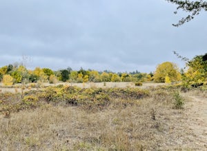
Thistle - Creek Loop
5.01.45 mi / 69 ft gainThe Thistle - Creek Loop is a loop trail at Ragle Ranch. This trail is used for hiking and running and offers some cover/shade as well as great views of foliage especially in the fall months. This trail is located near Sebastopol, California.Read more -
San Francisco, California
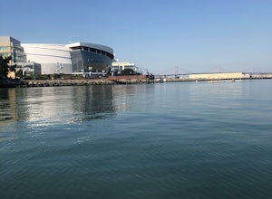
Paddle at Crane Cove
5.0Crane Cove is a beautiful waterfront park with access for paddle boards and kayaks. This area is protected from the wind (it will be less choppy here than in the middle of the bay). If you decide to paddle up to mission bay or down towards Islais Creek you'll most likely face more currents and w...Read more -
Inverness, California
Watch the Sunset at Point Reyes Lighthouse
3.7From San Francisco, drive north over the Golden Gate Bridge and onto the scenic Route One. Plan to spend a full day on the round trip if you're going for the first time; along the drive, you'll most likely want to stop every ten minutes to check out the charming seaside towns or the stunning coas...Read more -
San Francisco, California
Glen Canyon Park Trail
5.01.76 mi / 394 ft gainGlen Canyon Park Trail is a loop most commonly used for running or hiking in the southwestern side of San Francisco, California. Parking for the loop is street parking, so be sure to take any valuables out of the car with you. Note: There are restrooms available at the Glen Canyon Recreation Ce...Read more -
San Francisco, California
Mount Davidson
4.51.03 mi / 299 ft gainMount Davidson Park is located in the southwestern part of the city nestled between Diamond Heights and Portola Dr. The climb isn't too difficult, but to reach the top of the 928ft summit, you should wear close-toed shoes and be ready for some loose gravel or mud if it's been raining. The hike is...Read more -
San Francisco, California
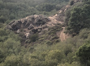
Bouldering at Glen Canyon Park
5.0Want to get out of the climbing gym, and do some bouldering in the city? Head to Glen Canyon park! After you park the car, take a short hike on a shade-covered path to the boulders. This climbing spot has history dating back to the 1930s when people first started scaling these boulders. This is a...Read more -
Santa Rosa, California
Gunsight Rock via Hood Mountain Trail
5.07.91 mi / 2372 ft gainHike to Gunsight Rock through Hood Mountain Regional Park to get a view overlooking Sonoma and Napa Valley. In order to get to the trailhead take Highway 12 to Los Alamos Rd, the road will then turn into Timberline Dr, this will take you to the trailhead. There is a parking fee of $8. From the p...Read more -
San Francisco, California
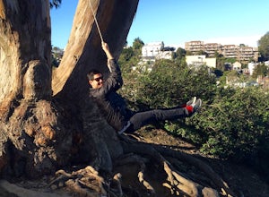
Swing at Billy Goat Hill
3.5Billy Goat Hill Park is located in the Glen Park neighborhood of San Francisco. The park has street parking at the top of the park on Beacon Street or at the base of the park on Ladley Street. Getting to the swing is only a short walk up or down the stairs that run through the middle of the park....Read more -
San Francisco, California
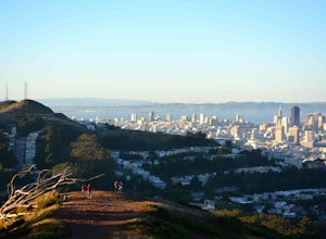
Bernal Heights Park
4.70.95 mi / 128 ft gainBernal Heights Park is an excellent week night adventure for those who need an escape from the city. Sit atop this small, grassy peak in peace and look out over the San Francisco skyline. Park on the street bordering the park and follow a pathway that leads up to the top. You will be instantly g...Read more -
Santa Rosa, California
Santa Rosa Creek Trail: Willowside Road to Fulton Road
4.2 mi / 46 ft gainSanta Rosa Creek Trail: Willowside Road to Fulton Road is an out-and-back trail that takes you by a river located near Sebastopol, California.Read more -
Oakland, California
Sibley Volcanic Trail Labyrinths
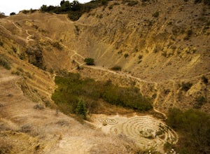
3.52 mi / 144 ft gainFrom Skyline Blvd, pull into the staging area for Sibley Volcanic Regional Preserve, you'll see the sign. Parking here is usually easy to find. You'll find an unstaffed visitor center with a restroom, park maps and informational displays featuring the history and geology of the park. Sibley is a...Read more -
San Francisco, California
Fort Funston Trail
4.71.81 mi / 253 ft gainFort Funston is an SF gem I discovered when looking for a dog friendly hike near the city. Located west of Lake Merced, you'll find a gorgeous Northern California beach oasis where you and your dog can run wild and free :). Parking is located at the top of the park where you'll descend a steep se...Read more -
San Francisco, California
Lake Merced Loop
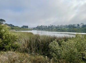
4.74.53 mi / 180 ft gainLake Merced Loop is a loop trail in the southwestern part of San Francisco. This trail is used for running and walking. You'll see plenty of people getting exercise or taking their dog for a stroll. There are also benches and tables around the loop. The lake itself is fresh water and is used for...Read more -
Lafayette, California
Lafayette Reservoir via Nature Area Rim Trail
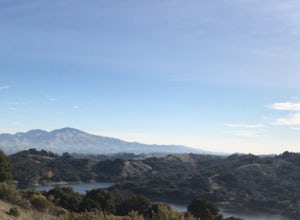
5.05 mi / 758 ft gainLafayette Reservoir is perfect for canoeing, mountain biking, trail running, and hiking. The Reservoir trail system is also used for nature walks and birding. The loop has several high points that have amazing views. The trails become very muddy after wet weather - so tread with caution. Th...Read more -
San Francisco, California
McLaren Park: Philosopher's Way Loop
5.02.25 mi / 315 ft gainBeyond McLaren's family friendly playgrounds and picnic areas, there are miles of trail to explore. The Philosopher's trail is a well-marked loop (notice the stone markings along the trail with arrows etched into them). There are several parking lots available where you can jump onto the loop. No...Read more -
Oakland, California
East & West Ridge Loop
4.53.47 mi / 833 ft gainTucked away in the hills of Oakland, you will find one of the homes of California's Coastal Redwoods. Created by a unique geographical circumstance, this forest breathes winds funneled through the Golden Gate across the bay, which created environment opportune for Redwood growth. These Redwoods a...Read more

