North Fork, California
North Fork, California, a top spot for outdoor adventures, offers some of the best trails and outdoor activities. One must-visit is the Willow Creek Trail, known for its scenic beauty. This moderate-difficulty trail boasts a variety of natural features, including lush forests, a sparkling creek, and unique rock formations. Another highlight is the Mammoth Pool, a pristine lake perfect for fishing and boating. Near North Fork, the Sierra Vista Scenic Byway is a must-see. This driving route offers stunning views of the Sierra Nevada mountains, providing ample opportunities for photography. Whether you're a hiker, angler, or simply appreciate the great outdoors, North Fork has something for you.
Top Spots in and near North Fork
-
Mariposa County, California
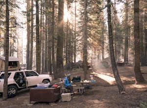
Camp at Crane Flat Campground
Crane Flat Campground is located on the Big Oak Flat Road (Highway 120) just west of Crane Flat, about 30 minutes northwest of Yosemite Valley. Sites are open July-October at $26/night. More info at https://www.nps.gov/yose/plany...Read more -
Mammoth Lakes, California
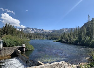
Lake Basin Path
5.04.43 mi / 554 ft gainLake Basin Path is an out-and-back trail where you may see beautiful wildflowers located near Mammoth Lakes, California.Read more -
Mariposa County, California
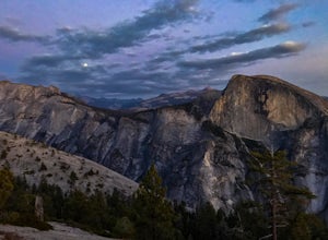
Porcupine Creek Trail to Indian Ridge Natural Arch to North Dome
10.04 mi / 2089 ft gainPorcupine Creek Trail to Indian Ridge Natural Arch to North Dome is an out-and-back trail where you may see beautiful wildflowers located near Yosemite Valley, California.Read more -
Mariposa County, California
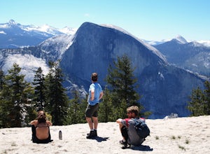
Backpack to North Dome in Yosemite
5.08.8 miTo stay overnight in Yosemite without a reserved campsite requires a "Wilderness Permit" to camp, but you can camp anywhere. However, any fires need to be in pre-made fire pits (so rangers can know where to check for fires) Day 1 - Hike in from the Porcupine Trailhead off of Tioga Road in to vie...Read more -
Lakeshore, California
John Muir Trail: McClure Meadows
The transition from mostly sheer granite slopes to open grassy space is a welcomed one. Set up along the creek meandering through Evolution Basin and explore the area. You won't tire your legs out because it's pretty flat. Whip out your camera to catch some amazing reflections of the Sierra in th...Read more -
Mammoth Lakes, California
Sherwin Lakes Trail
5.04.42 mi / 850 ft gainJust outside the town of Mammoth Lakes, CA is the Sherwin Lakes Trailhead. An easy 10 minute drive down some dirt roads will get you to the dirt parking lot where you can safely leave your vehicle and begin your fairly easy 2.5 mile hike to Sherwin Lakes. (Valentine Lake is not much further beyon...Read more -
Mariposa County, California
Olmsted Point
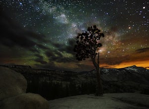
5.00.4 miJust off the side of the highway, look for the pullout for Olmsted Point on your Map. There is a parking area with about 25 parking spots and the lookout point with the tree is right next to there. Come in the summertime and during a new moon to get the best views of the Milky Way. Never crowded,...Read more -
Mammoth Lakes, California
Valentine Lake via Sherwin Lakes Trail
5.09.76 mi / 2026 ft gainPark at the Sherwin Lakes Trailhead. Begin your ascent through scrubby foliage and old pines. Once you arrive at a junction with a bench, turn around. Note that the uphill climb is pretty decent past Sherwin Lakes, so if you're feeling overly winded after the arriving at these lakes, this may be...Read more -
Tuolumne County, California
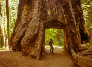
Tuolumne Grove of Giant Sequoias
4.22.67 mi / 653 ft gainThe Tuolumne Grove of Giant Sequoias is one of three sequoia groves in Yosemite National Park. This particular grove has gorgeous forest scenery and provides great solitude compared to the crowded Yosemite Valley. The trail used to be an old road offering a wide path with a gradual descent, makin...Read more -
Hume, California
Camp at Princess Campground
Situated just off the stretch of road that connects the two sections of Kings Canyon, Princess Campground is the perfect home base for exploring both Kings Canyon and Sequoia National Parks. In addition to its central location, it takes reservations, so you can book a roomy spot well in advance o...Read more -
Mammoth Lakes, California
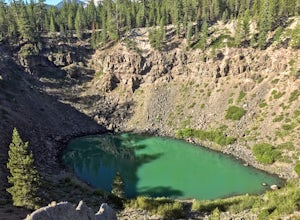
Inyo Craters Trail
4.01.51 mi / 253 ft gainInyo Craters Trail is a loop trail that is good for all skill levels located near Mammoth Lakes, California.Read more -
Yosemite Valley, California
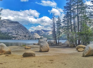
Tenaya Lake
4.63.08 mi / 0 ft gainTenaya Lake is located alongside Tioga Road in the park's Tuolumne Meadows region. There is a family-friendly trail that surrounds the lake. Though some spots along the trail on the western shore may require fording the waters, the 2.5-mile trip is an easy hike for all to enjoy. Many others pre...Read more -
Mariposa County, California
Sunrise Lakes to Clouds Rest
4.718.93 mi / 1775 ft gainStart out at the Tenaya Lake Trailhead, where you can head directly onto the trail for Clouds Rest or you can branch off after 2.7 miles to Sunrise Lakes. This allows you to break up the hike, spend a night relaxing and help you have an early start back on the trail. Once re-connected to the Clo...Read more -
Mariposa County, California
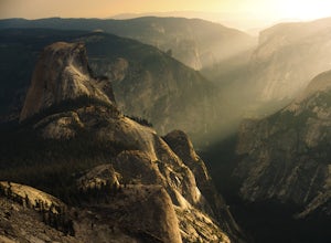
Half Dome & Clouds Rest Loop
22.7 mi / 7000 ft gainStart and end this loop from the Sunrise Lakes TH along the Tioga Road, and in between you'll travel over 26 miles through Yosemite's backcountry gaining and losing over 7,000 feet in elevation. Unlike typical mountain summit hikes where it's climb climb climb to the top and then descend, this w...Read more -
Mariposa County, California
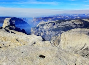
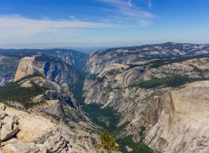
Clouds Rest via Tenaya Lake
5.014.5 mi / 1775 ft gainThe "younger" brother of the world famous Half Dome, Clouds Rest is in fact a solid 1,000 feet taller despite receiving significantly less attention. If you know about this hidden gem however, you're in luck. Starting out from the Tenaya Lake trailhead will save you crowds on the trail and the ...Read more -
Mariposa County, California
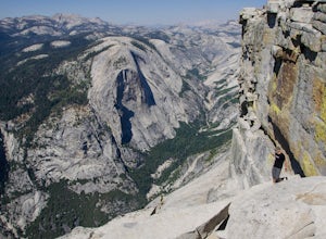
Clouds Rest to Half Dome
18.52 mi / 4000 ft gainBecause this is not a loop, you will need to figure out a shuttle situation. There are two options for this: 1. Drive your car to the Tenaya Lake Trail Head, and leave it parked there. Once you reach the Valley you will be car-less, but then the next day you can take one of the free shuttles u...Read more

