Niland, California
Looking for the best chillin in Niland? We've got you covered with the top trails, trips, hiking, backpacking, camping and more around Niland. The detailed guides, photos, and reviews are all submitted by the Outbound community.
Top Chillin Spots in and near Niland
-
Calipatria, California
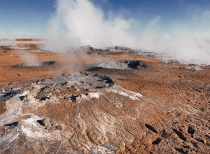
Explore the Mud Volcanoes of the Salton Sea
5.04 miIt should be noted that extreme caution should be practiced when going to the mud volcanoes. While the photographs above appear close, they were taken on a zoom lens from a safe distance. The ground here is soft and misleading. Collapses can occur, where you could be fatally scalded by the boili...Read more -
Niland, California
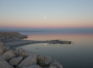
Exploring the Salton Sea
4.0The Salton Sea is the largest lake in California, created when irrigation canals from the Colorado River broke. In the 50's and 60's the area saw a boom in resorts and recreation as new "beach front" property was available and attracted hordes of people. Those days are long gone and although the ...Read more -
Niland, California
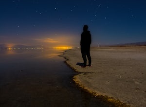
Night Photography at the Salton Sea
5.0Heading from the Los Angeles area, hop on the I-10 East, eventually keep righ to continue on CA-86 South signs for Brawley/El Centro/865 Expy, then a left on 195 East, then a right onto CA-111 South, shortly after you will be riding alongside the Salton Sea.You may want to arrive while there is s...Read more -
Brawley, California
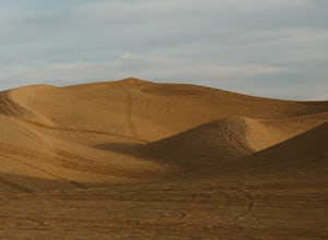
Explore the Algodones Sand Dunes
The North Algodones Dunes Wilderness System offers 200 square miles of open dune wilderness to explore. You can do as little or as much as you want in this vast open space. Take a short hike, take lots of pictures, or make it an overnight camping trip in the desert.The dunes are located north of ...Read more -
Borrego Springs, California
Off-Road through Split Mountain in Anza Borrego
4.011 mi / 0 ft gainFor all you desert lovers- this is a must. Or for all you SD residents that want to try something new and take a break from the populated trails within the county- spend a day in Anza Borrego and include this on your list.This state park is just a quick jaunt outside of the town of Julian. This m...Read more -
Twentynine Palms, California
Explore Cottonwood Spring
Just east of the Cottonwood Visitor Center. This scenic spot provides access to cottonwood spring. The spring is a short walk down from the parking lot, and was formed from earthquakes! It was a popular spot for natives and settlers to gather water back in the day. As you approach the springs you...Read more -
Twentynine Palms, California
Hike the Mastadon Peak Loop
5.02.3 mi / 331 ft gainThe trail is typically used for hiking, nature trips, and trail running. There are lots of opportunities to see desert plants and flowers. On clear days, you can see the Salton Sea. There is an old mine to explore from the outside, as the entrance has been sealed. If you plan on going to the top...Read more -
Twentynine Palms, California
Camp at Cottonwood Campground in Joshua Tree NP
The Cottonwood Campground is roughly 40 minutes south of the main attractions in Joshua Tree on Pinyon Canyon Rd and is located right next to the visitor center The biggest advantage of this site is that it is less popular than many of the other sites in Joshua Tree. It also has potable water and...Read more -
Borrego Springs, California
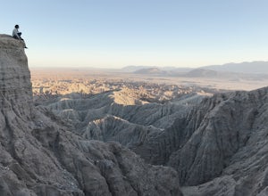
Catch a Sunset at Fonts Point
4.04 miThe best time to go to Fonts point is right before the sun sets. It is located in the desert, so be sure to dress warmly and bring a blanket or two.In order to get to Fonts Point, you'll have to drive through roughly 4 miles of sand and rocks. 4x4 is strongly recommended, but keep an eye on road ...Read more -
Riverside County, California
Dispersed Camp at Old Dale Mining District
5.0It can be a pain to try and camp in Joshua Tree. Most of the sites get reserved way in advance and if you are looking for privacy or a quiet area, it's not going to happen. But you can camp outside the park on BLM land and there is a great place to do this, it's called Old Dale Mining district. ...Read more -
Borrego Springs, California
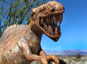
Anza Borrego Metal Sculptures
4.6Here's a map I made that marks where most of the sculptures are (here). First, you enter the park and drive through the little city of Borrego Springs. There will be a roundabout you can't miss, so you know you're on the right path. There is nowhere to park to get to the sculptures specifically,...Read more

