Newport Beach, California
Looking for the best hiking in Newport Beach? We've got you covered with the top trails, trips, hiking, backpacking, camping and more around Newport Beach. The detailed guides, photos, and reviews are all submitted by the Outbound community.
Top Hiking Spots in and near Newport Beach
-
Los Angeles, California
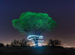
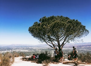
Wisdom Tree
4.80.95 mi / 528 ft gainIn Griffith Park, park along Lake Hollywood Drive and walk the paved quarter mile up Wonder View Drive to the start of Wonder View Trail. Here, walk through the yellow gate and make the first right after the road turns to dirt. Head up this unmarked single track path heading east up the mountain....Read more -
Los Angeles, California
Cahuenga Peak via Burbank Peak Trail
2.23 mi / 719 ft gainCahuenga Peak via Burbank Peak Trail is an out-and-back trail that takes you past scenic surroundings located near Los Angeles, California.Read more -
Los Angeles, California
Cahuenga Peak Loop Trail
3.88 mi / 1237 ft gainThe Cahuenga Peak Loop is perfect for trail runners and hikers. The trailhead is in Hollywood Hills - park off to the side on a street. This trail features beautiful wildflowers in the spring. Dogs are allowed on the trail if kept on leash. The trail can be dusty and dirty, so watch your step. Ke...Read more -
Los Angeles, California
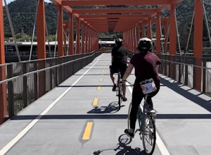
Los Angeles River: West Bank Trail
5.014.4 mi / 331 ft gainLos Angeles River: West Bank Trail is an out-and-back trail that is good for all skill levels located near Los Angeles, California.Read more -
Oceanside, California
Bike or Skate the Strand
4.01 mi / 0 ft gainOceanside's iconic Strand is a 1 mile long ocean-front road that is perfect for cycling, walking, and running. At various points it is one way or pedestrian only, and is a must-do for any visitors to Oceanside.From the north The Strand begins at Breakwater Way and heads south underneath The Ocean...Read more -
Altadena, California
Millard Falls
3.01.27 mi / 289 ft gainTo get to the trail, park at the Millard Campground Trailhead parking lot, where you'll find plenty of parking. Follow the trail that leads away from the lot and past the Millard Campground. If necessary, you'll find bathrooms at the campground. Follow signs for Millard Falls as the trail veers r...Read more -
La Verne, California
Cattle Canyon Trail
6.7 mi / 1066 ft gainWithin the San Gabriel Mountains from Highway 39 and along East Fork Road is Cattle Canyon. To go through Cattle Canyon, you can access the trail head just south of the Bridge to Nowhere trail head along East Fork Road right after it intersects with Glendora Mountain Road. There is a small parkin...Read more -
Glendale, California
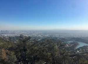
Beaudry Loop
5.79 mi / 1572 ft gainThe Beaudry Loop trail features a bench at the top with 360 degree views of the greater LA area. The trailhead is a little hidden on Beaudry Blvd. As Beaudry Blvd turns into Beaudry Terrace, you'll see cars parked at the paved trailhead. There is very little shade on the trail so bring ample sun...Read more -
Glendale, California
Brand Library Loop
5.06.56 mi / 2648 ft gainYour adventure will start at the Brand Library parking lot. Walk behind the library towards the gated day use area and you will find the start of the trail on your right, Las Flores MTWY. The first half-mile rises over 500 feet to a plateau, equipped with benches, a park map and views of Griffit...Read more -
La Verne, California
Bridge to Nowhere via East Fork Trail
4.49.65 mi / 1798 ft gainThe trail on this 10-mile hike is predominately slow and steady, but can be a little rocky, so be prepared to scramble. When you’re fording the river, the water level can range from knee to chest high, especially in the wet months. A good pair of waterproof hiking boots is helpful, but water shoe...Read more -
Los Angeles, United States
Verdugo Crest Trail
4.06.71 mi / 2510 ft gainThe Verdugo Crest Trail is a 6.6 mile loop near Glendale, California. The trail features lovely wildflowers in the spring and beautiful views year-round. The trail is steep, so make sure you are wearing sturdy running or walking shoes. Dogs are allowed on the trail but must be kept on leash. Va...Read more -
Riverside, California
Hike Two Trees Trail
2.5 mi / 977 ft gainParking is free at the trailhead, but there is only room for approximately five cars. The trailhead is on the edge of a neighborhood, so you can park there if needed. From the parking lot, head west, and immediately veer right and across the bridge. If you go left at the first fork, you can stay ...Read more -
Los Angeles County, California
San Gabriel Peak
4.02.79 mi / 1040 ft gainAt 6,000 feet, San Gabriel Peak gives you one of the best views of the Los Angeles basin on the front range of the San Gabriel Mountains National Monument. As you pass through Muller Tunnel, the trail will be littered with rocks and boulders. A little over 100 feet in, the road will fork in thre...Read more -
Los Angeles County, California
Idlehour Trail
4.014.89 mi / 4665 ft gainIdlehour Trail located near Mount Wilson, California, is an out-and-back trail that is strenuous and can take 8-10 hours if done all at once. There are opportunities to camp off the trail, making this a backpacking trail in the Angeles National Forest as well. To access the Idlehour Campground ...Read more -
Claremont, California
Stoddard Peak Trail
4.05.93 mi / 1129 ft gainOn the way to Mount Baldy and within the trail system of the San Gabriel mountain range is the Stoddard Peak Trail. The Stoddard Peak Trail, which is basically the old Barrett-Stoddard fire road, goes through the Stoddard Canyon into Stoddard Flat, and then eventually leads to Stoddard Peak. The ...Read more -
Claremont, California
Stoddard Canyon Falls (Baldy Slide Waterfall)
0.74 mi / 174 ft gainLocated near the Angeles National Forest, it's a short hike, approx. 0.75 miles roundtrip and just about anybody can go. To get there, input the intersection of Mt. Baldy Rd. and Barrett Stoddard Truck Trail into your GPS. This will bring you to a small dirt parking lot. The trailhead starts a...Read more

