Newbury Park, California
Looking for the best photography in Newbury Park? We've got you covered with the top trails, trips, hiking, backpacking, camping and more around Newbury Park. The detailed guides, photos, and reviews are all submitted by the Outbound community.
Top Photography Spots in and near Newbury Park
-
Marina del Rey, California
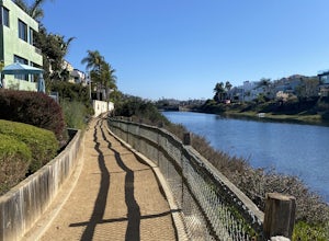
Ballona Lagoon
5.01.8 mi / 95 ft gainSuch a relaxing and beautiful stroll in the Marina Del Rey/Venice area! Park in Marina Del Rey #13 lot (4601 Vía Marina, Marina Del Rey, CA 90292). Don't forget to pay the meter! The rate as of 2021 is $0.50/15mins, or $6 for 24hrs on weekdays, and $8 for 24hrs on weekends. Once parked, walk ...Read more -
Castaic, California
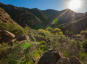
Hiking the Piru Creek Gorge Trail
Take the I-5 exit North of Castaic, CA at Templin Hwy. Turn onto Golden State Hwy heading the only direction it goes from the exit, North. When it dead-ends in a few miles at the National Forest Gate, you are at Frenchman's Flat.You can camp here, or hang with the day hikers. Heading North along ...Read more -
Ojai, California
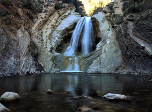
Matilija Falls
5.08.6 mi / 0 ft gainNote: This trail is temporarily closed. For more updates, please visit the Forest Service website for more updates. ...If you've read most of my blogs, you'll probably notice I have a fascination for waterfalls! I've done this hike multiple times, but it wasn't until this day where I saw these ...Read more -
Ojai, California
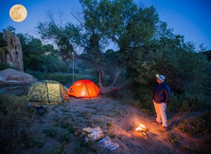
Camp at Rose Valley
5.0Close to Ventura and Ojai, California, this spot is an easy weekend getaway from the hectic coast of Ventura. Follow Highway 33 east toward Ojai. This road will lead into the Los Padres National Forest and become very curved and sleep as it gets closer to Rose Valley. The sign for the Park with b...Read more -
Maricopa, California
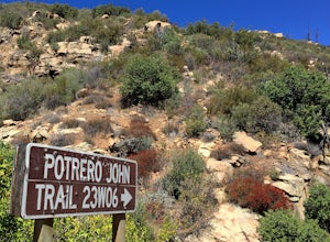
Potrero John Trail
5.03.51 mi / 627 ft gainThe Potrero John Trail is only 1.75 miles one-way, and is mostly used for hiking. It is right off Highway 33- driving north on the 33, the trailhead is on the right side of the street, right after the Potrero John Bridge (parking is fairly limited so the earlier you get there the better). There ...Read more -
Los Angeles, California
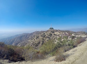
Verdugo Mountain Traverse
5.012.13 mi / 0 ft gainThe Verdugo Mountain Range is a small, rugged range spanning across the northeast end of the San Fernando Valley from Sun Valley to Glendale. With close to 50 miles of graded and well-maintained trails, the Verdugos are surprisingly underutilized and make a great place for someone looking to esca...Read more -
Los Angeles, California
Verdugo's North Ridge Trail
12.7 mi / 2684 ft gainThe Verdugo Mountain Range is a small, rugged range spanning across the northeast end of the San Fernando Valley from Sun Valley to Glendale. With close to 50 miles of graded and well-maintained trails, the Verdugos are surprisingly underutilized and make a great place for someone looking to esca...Read more -
Los Angeles, California
Kenneth Hahn Recreation Area Loop
2.85 mi / 328 ft gainThe Kenneth Hahn Recreation Area is just outside of downtown LA, a perfect location for hiking, trail running, and biking. The trail loops up to the top of a hill, where hikers get sweeping views of LA. Dogs are allowed, but must be kept on leash. This is also a great location for trail running...Read more -
Los Angeles, California
Cahuenga Peak Loop Trail
3.88 mi / 1237 ft gainThe Cahuenga Peak Loop is perfect for trail runners and hikers. The trailhead is in Hollywood Hills - park off to the side on a street. This trail features beautiful wildflowers in the spring. Dogs are allowed on the trail if kept on leash. The trail can be dusty and dirty, so watch your step. Ke...Read more -
Los Angeles, California
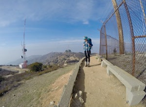
Aileen Getty Ridge Trail
5.03.55 mi / 1194 ft gainThe Aileen Getty Ridge Trail is a singletrack trail that runs between Mt. Lee and Burbank Peak (the location of the Wisdom Tree). Though there are many options to access this trail, the most direct route is from the west via the Wonder View Trailhead. Start by parking on Lake Hollywood Drive near...Read more -
Los Angeles, California
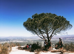
Wisdom Tree
4.80.95 mi / 528 ft gainIn Griffith Park, park along Lake Hollywood Drive and walk the paved quarter mile up Wonder View Drive to the start of Wonder View Trail. Here, walk through the yellow gate and make the first right after the road turns to dirt. Head up this unmarked single track path heading east up the mountain....Read more -
Santa Clarita, California
Hike to Saint Francis Dam Disaster National Monument
3.2 mi / 153 ft gainThe Saint Francis Dam Disaster National Monument, established in 2019, memorializes the site where the Saint Francis Dam, built by famed engineer William Mulholland, collapsed in 1929, tragically killing more than 400 people in the middle of the night as a 150+ foot wave of water crashed through ...Read more -
Los Angeles, California
Franklin-Ivar Park
5.0What was once a vacant and deteriorated site, Franklin-Ivar Park was rehabilitated and turned into a small neighborhood park in a densely-populated area in Hollywood. More like a parklette, Franklin-Ivar Park returns some of the native habitats that once thrived in this area on the slopes of the...Read more -
Ventura, California
Smuggler's Cove
3.57.72 mi / 1342 ft gainSave one stretch of elevation close to the cove itself, this 8-mile, round-trip hike is a leisuring trek across one of the countries most beautiful, though less famous National Parks - the Channel Islands. Smuggler's Cove is located on the Santa Cruz Island, which also happens to be the largest i...Read more -
Ventura, California
Scorpion Ranch Campground
4.00.72 mi / 43 ft gainAccessible only by Ferry, this little-known national park is a backpacker's dream. You can catch the ferry out of Ventura or Santa Barbara, only a short distance from LA. The ride to the island is around 1 hour. We chose to take Island Packers Ferry out of Ventura to Santa Cruz Island. The ferry...Read more -
Ventura, California
Potato Harbor Trail
5.04.34 mi / 404 ft gainAs California’s largest island, Santa Cruz Island of the Channel Islands is the perfect little getaway from Los Angeles. Getting to the island is possible only by a one hour boat ride through Island Packers, click here to find out more about them. Be sure to pack light since you’ll be carrying ev...Read more

