Mount Whitney, California
Top Spots in and near Mount Whitney
-
Bishop, California
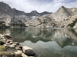
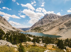
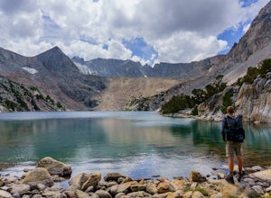
Gorgeous and sizable alpine lakes beyond Blue Lake via Sabrina Basin trail.
There are some very confusing descriptions on the internet for this so hopefully this can help. Hike for 3 miles to get to Blue Lake, which is huge and a popular camping spot for backpackers. Continue past the lake (it ...
Read more
-
Bishop, California
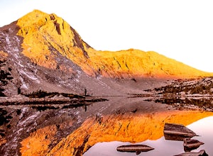
If you are considering this hike, then I am sure you are already familiar with the undeniable beauty that the Eastern Sierra radiates. Any season, any time- it is there. One of my particular favorites for a day hike to experience this beauty is the trek to Emerald Lake outside of Bishop.From Bish...
Read more
-
Bishop, California
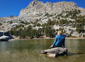
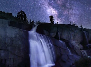
The basic part of this adventure is a backpack to Sailor Lake. From there you can enjoy small dayhikes to the nearby lakes or waterfalls, go fishing, enjoy some photography or just lounge in camp and gaze at the beautiful scenery. Although Sailor Lake looks smaller than the nearby lakes it stil...
Read more
-
Bishop, California
With so many famous hiking trails in the Sierras, its hard to find a trail as isolated as the Piute Pass Trail. This trail allows you to hike in the John Muir Wilderness, Inyo National Forest, and Sierra National Forest in one 20 mile section of trail. You will encounter amazing wilderness, spect...
Read more
-
Kernville, California
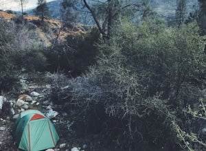
There are several dispersed campsites found throughout the Sequoia National Forest. The majority can be found by driving on any of the OHV accessible roads. This particular campsite can be found at coordinates 35.89759, -118.4628. In order to get to the campsite, use Google Maps to get you to the...
Read more
-
Bishop, California
Before heading out, you will need to get a backpacking permit to stay overnight in this area. You can buy one here to pick up in town at the Bishop, CA Ranger Station, in the morning.The trailhead begins at North Lake campground (9,345'), in a beautiful lush area, with streams and aspen groves. A...
Read more
-
Bishop, California
5.0
5.8 mi
/ 1562 ft gain
Starting out at North Lake Campground, the trail to Lamarck Lakes is a fairly gradual ascent. After climbing out of the meadows near the trailhead, you will find yourself on a ridge with few trees to block the great views of Grass Lake and the valley below. Lake Sabrina is on the other side of ...
Read more
-
Lakeshore, California
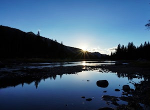
The transition from mostly sheer granite slopes to open grassy space is a welcomed one. Set up along the creek meandering through Evolution Basin and explore the area. You won't tire your legs out because it's pretty flat. Whip out your camera to catch some amazing reflections of the Sierra in th...
Read more
-
Little Lake, California
5.0
197.06 mi
/ 9354 ft gain
Eastern Sierra Scenic Byway is a point-to-point trail that takes you by a lake located near Little Lake, California.
Read more
-
Inyo County, California
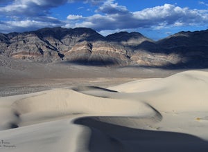
THE HIDDEN DUNES HIKEFrom the well, you will want to hike towards a gap in the mountains off to the West. Hopefully, you were able to see the dunes on the way in as described above to help gauge the direction to head in. A map, or GPS, can make this easier too, but probably isn’t needed. Just oc...
Read more

