Midpines, California
The best Trails and Outdoor Activities in Midpines, California, include the iconic Hite Cove Trail. This trail is a top choice for hikers, offering a moderate difficulty level with a total distance of 8.5 miles. It's most famous for its vibrant wildflower displays in the spring. The trail also features the South Fork of the Merced River, providing scenic views and a refreshing spot to cool off. The Yosemite Ziplines and Adventure Ranch is another must-visit outdoor adventure, offering ziplining tours for an adrenaline rush with a bird's eye view of the beautiful landscape. For a more relaxed activity, the Merced River is perfect for rafting and fishing. These are just a few of the best outdoor activities and attractions in and near Midpines, California, making it a top destination for those seeking outdoor adventures.
Top Spots in and near Midpines
-
37.876736,-119.346085
Glen Aulin
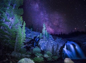
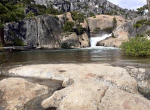
4.812.19 mi / 600 ft gainStart your hike to this waterfall oasis in the heart of the sierra at the parking lot for the Tuolumne Meadows Visitor Center. The Glen Aulin High Sierra Camp sits along the beautifully winding Tuolumne River. White Cascade an 80ft waterfall sits at the edge of camp and provides an excellent swim...Read more -
Pinecrest, California
Backpack to Chain Lakes
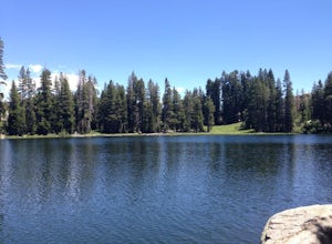
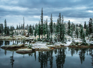
4.4 mi / 864 ft gainThis trip begins at ~7500 feet at the Box Springs Trailhead This trail is at the end of Forest Route 3N20Y. The trail, which is not regularly maintained and may at times be hard to follow, initially descends slightly to 7300', then stays mostly flat before rising just before the lakes. You will p...Read more -
Tuolumne County, California
Photograph Dana Fork
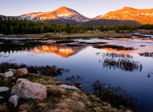
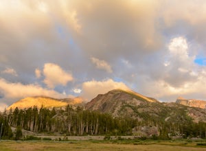
Yosemite is filled with some amazing views but rarely do you get to experience these views by yourself. This hidden treasure is located off of Tioga Pass, is near some of Yosemite’s most popular hikes, and offers an outstanding sunrise and sunset views without the crowds. Located 2.5 miles Sout...Read more -
Sonora, California
Bouldering at Columbia College
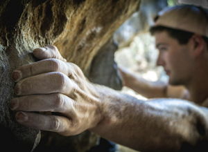
Get your hands on some limestone bouldering at this spot. There's actually two locations for bouldering in this area, Columbia College and Columbia State Park (about less than a 10 min. drive from Columbia College), but I made this specific adventure for climbing on the college. GPS Coordinates f...Read more -
Madera County, California
John Muir Trail: Camping at Thousand Island Lake
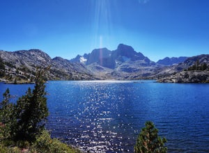
5.0This is one of the most recogizable lakes on the John Muir Trail and is known for being one of Ansel Adams' favorite places to photograph. Banner and Ritter Peaks tower over the tree covered islands and make for incredible scenery. This is a good spot to spend the day eating lunch and swimming ou...Read more -
Tuolumne County, California
Lyell Loop
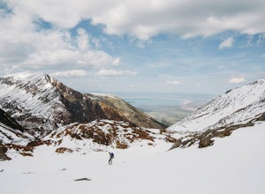
35.88 mi / 5541 ft gainStart the hike at the Mono pass trail. You'll eventually take the fork towards Parker Pass a couple miles in. We tackled the trail in late spring, and it quickly became clear that there was still enough snow to make our lives difficult. As we climbed out of the Parker drainage, the trail essenti...Read more -
Tuolumne County, California
Mono Pass to Silver Lake Trailhead via Koip Peak Pass
20.25 mi / 3606 ft gainThis trip begins in Yosemite National Park and can be completed as an out-and-back or by hiking one-way to the Ansel Adams Wilderness and exiting at Silver Lake on the east side of the mountains. Start at the Mono/Parker Pass trailhead, a few miles past Tuolumne Meadows. Don't forget to make a pe...Read more -
Pinecrest, California
Backpack to Bear Lake (Emigrant Wilderness)
4.58.34 mi / 705 ft gainStart by picking up your wilderness permit at the Summit Ranger Station near Pinecrest - (209) 965-3434. There's no quota for this area, so no need for reservations in advance. To reach the trailhead, make your way south from the Ranger Station and turn left onto Crabtree Rd. Drive along this ro...Read more -
Tuolumne County, California
Middle Gaylor Lake
1.46 mi / 764 ft gainThe main trail to the Middle Gaylor Lake is about 1.5 miles round-trip, but if you’re looking for more adventure, you can hike a little further to Upper Gaylor Lake (which will add a mile to your trip) or continue on to the Great Sierra Mine (which will add 2 miles to your trip). The Gaylor Lake...Read more -
Madera County, California
John Muir Trail: Camping at Lake Ediza Junction
NOTE: there are some camping closures in this area. Read here for more details. The Lake Ediza Junction has several great spots to camp. Try to find a spot that will have long afternoon sun as some spots will fall under the shadow of the ridge to the west. There are some sunny campsites along the...Read more -
Twain Harte-Tuolumne City, California
Mount Dana
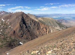
5.04.89 mi / 3120 ft gainThere's something special about the landscape that Yosemite National Park offers, and the scenery around Mount Dana is no different. The trail begins at the Tioga Gate entrance to Yosemite with the trailhead at the north end of the small parking lot south of the gate. It winds through the ponds,...Read more -
Lee Vining, California
Climb the Third Pillar of Dana
From Highway 120 (Tioga Road) you can park at the lot just above Tioga Lake. Another mile up the road is the Yosemite entrance, so if you hit that, you've gone too far. Follow the trail around the south side of the lake and into Glacier Canyon. After about 2 miles you'll start scrambling on the N...Read more -
Pinecrest, California
Hike to Cleo's Bath
4.56.5 mi / 1263 ft gainThis 6+ mile hike is located at Pinecrest Lake in the Stanislaus National Forest located in Tuolumne County and features a lake, river, forest, waterfall, and swimming hole. It is accessible year-round, in winter there will be snow, and the hike is dog friendly except between May 15th-September ...Read more -
Tuolumne County, California
Backpack Chewing Gum Lake
3.34.5 mi / 1000 ft gainChewing Gum Lakes is located in Emigrant Wilderness, South of Lake Tahoe and North of Yosemite, with stunning valley views and gorgeous granite faces, peaking through the tree lines of the Stanislaus National Forest. Sitting just north of Yosemite allows you to take in a portion of the beauty of ...Read more -
Tuolumne County, California
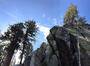
Climb Cracks at the Gianelli Edges
We first found the Gianelli Edges mentioned in the Climbers Guide to the Sonora Pass Highway. A short 2.5-3 hour drive from our place in Oakland, it's a great spot for a quick single day or overnight climbing excursion. Just head out 120 toward Yosemite and pull off on the 108 toward Burst Rock/G...Read more -
Lee Vining, California
Junction Campground, Mono County
Junction campground is by far one of my favorite campsites when I am visiting the High Sierra and Tuolumne Meadows. The only downside is, you can only camp certain months; usually from June through October when highway 120 is open. The Junction campground is far away from the crowds of Yosemite...Read more

