Maricopa, California
Looking for the best photography in Maricopa? We've got you covered with the top trails, trips, hiking, backpacking, camping and more around Maricopa. The detailed guides, photos, and reviews are all submitted by the Outbound community.
Top Photography Spots in and near Maricopa
-
Ojai, California
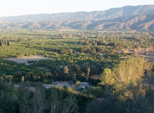
Camp at Dennison Park in Ojai Valley
Great little campsite very close to the town of Ojai. My discovery of this gem was totally coincidental. I was trying to book a hotel room in Ojai; however, that particular weekend all the rooms that were within my budget were sold out. Instead of giving up, I looked for alternative options and ...Read more -
Santa Barbara, California
La Cumbre Peak via Tunnel Trail
9.96 mi / 3310 ft gainTunnel Trail is a great way to get to the top of La Cumbre Peak. You get to the trailhead by taking Tunnel Road until it dead ends at a large water tower, there you can park your car and start on foot. You take Spyglass Ridge Road up which is a paved fire road until it becomes dirt when you get o...Read more -
Santa Barbara, California
Inspiration Point
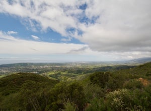
4.03.82 mi / 1109 ft gainHike up the 3.5 mile trail to an unbeatable vista that will leave you smiling! This hike has a steady uphill climb from the trailhead off of Tunnel Rd into Los Padres National Forest. Keep in mind this trail can get pretty crowded on weekends, so you're best to be at the trail early in the mornin...Read more -
Santa Paula, California
Santa Paula Punch Bowls
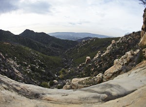
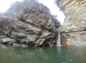
3.66.5 mi / 1037 ft gainThis is a 6.5 mile trail, out and back. Parking is available along Ojai St, and the trail starts at the entrance of Thomas Aquinas College. Follow the paved road that goes around the school, until you reach a fork on the road, then stay right. The trail will take you through Ferndale Ranch, just ...Read more -
Ventura, California
Bike the Sulphur Mountain Loop
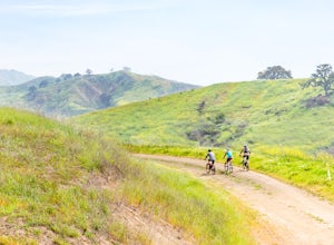
28.6 mi / 2884 ft gainThe Sulphur Mountain Loop is a 28 mile cycling and mountain biking loop that begins in Ventura Canyon at the Sulphur Mountain Trailhead and loops through Ojai Valley. Beginning at the Sulphur Mountain Road trailhead off Highway 33, follow the road up and over Sulphur Mountain and down until it co...Read more -
Lake Hughes, California
Hike the Pacific Crest Trail from Horse Trail to Bear Campground
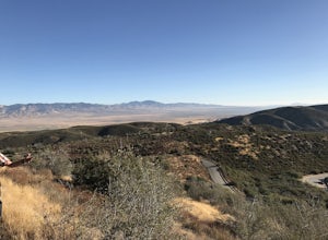
11.63 mi / 2396 ft gainThis is part of the Pacific Crest Trail. If you're through-hiking or sectional hiking, you'll have to hit it eventually. Try and avoid it in the late summer or early fall because of heat, and gnats. Find a way to check the bug report, we got marauded by gnats 90% of the way (early October) and ap...Read more -
Castaic, California
Hiking the Piru Creek Gorge Trail
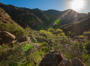
Take the I-5 exit North of Castaic, CA at Templin Hwy. Turn onto Golden State Hwy heading the only direction it goes from the exit, North. When it dead-ends in a few miles at the National Forest Gate, you are at Frenchman's Flat.You can camp here, or hang with the day hikers. Heading North along ...Read more -
Santa Maria, California
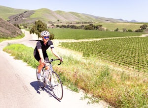
Bike Foxen Canyon Road
29 mi / 2400 ft gainFoxen Canyon Road from Santa Maria to Los Olivos runs through some of the most beautiful wine country in Santa Barbara county so much so that it was centerpiece of the film Sideways. The road itself begins at the intersection of Betteravia and Philbric roads just east of Santa Maria and proceeds ...Read more

