Madera County, California
Looking for the best chillin in Madera County? We've got you covered with the top trails, trips, hiking, backpacking, camping and more around Madera County. The detailed guides, photos, and reviews are all submitted by the Outbound community.
Top Chillin Spots in and near Madera County
-
Mariposa County, California
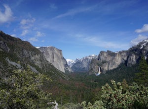
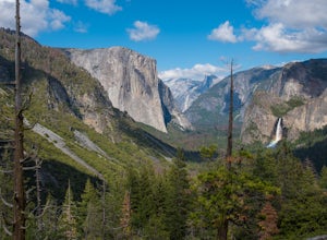
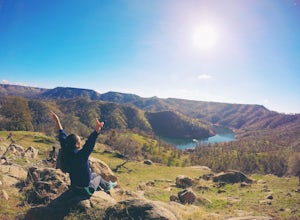
Hike to Inspiration Point in Yosemite NP
2.4 mi / 900 ft gainInspiration Point is a granite slab located on the mountainside above Tunnel View. Hiking to this scenic point will provide you with the same views you would get from Tunnel View with less people around. Hiking this trail can also take you to different parts of Yosemite if you're so inclined (Bri...Read more -
Mariposa County, California
Backpack Yosemite's South Rim
5.018 mi / 2800 ft gainStep 1: Get Wilderness Permit from the Wilderness Office the day before! Permits are free and required. This trail is a Point-to-Point trail so make sure you have a shuttle situation figured out (or you can always hitch hike). The best option is to get dropped off at Tunnel View so that you don'...Read more -
Mariposa County, California
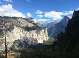
Hike to Union Point via Four Mile Trail
6 mi / 2332 ft gainFour Mile Trail is steep, but hikers efforts are more than rewarded. Union Point sits above Yosemite Valley at 6,332 feet - offering sweeping views of El Capitan and the valley entrance to the left, and North Dome / Half Dome & Clouds Rest to the right. You can also see Yosemite Falls straigh...Read more -
Mariposa County, California
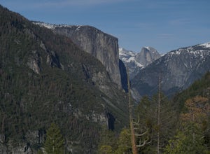
Hike to Turtleback Dome
1.4 mi / 350 ft gainTurtleback Dome will provide you with views of southern Yosemite and the Valley in a less crowded area. This hike on a service road is relatively easy with a slight elevation gain over the entire 0.7 miles. To get to the Trailhead, take Wawona Road north towards the valley. Use the referenced poi...Read more -
YOSEMITE NATIONAL PARK, California
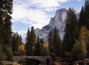
Photograph Stoneman Bridge in Yosemite NP
4.5This location turned out to be one of our favorite unplanned stops in the Yosemite Valley to photograph and explore.Stoneman Bridge was constructed in 1933 and spans 72 feet long. The Merced River flows under this classic stone bridge providing very photogenic reflections, with Half Dome in the b...Read more -
Mariposa County, California
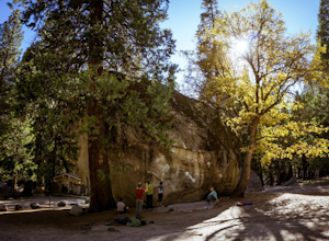
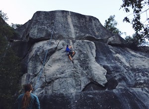
Rock Climb in Camp 4
5.0Some of the best bouldering in Yosemite Valley is on these polished granite boulders. This is an incredibly popular spot, especially during the summer months because of the tourist season. There's a small parking lot for Camp 4, but if that fills up, you'll have to park elsewhere and either walk ...Read more -
Mariposa County, California
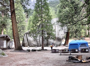
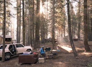
Camp at Camp 4, Yosemite NP
4.5Camp 4 is located in Yosemite Valley near Yosemite Valley Lodge. It's a popular spot for climbers as there is bouldering within the site. It's also located close to the Upper Yosemite Falls trail. Pets are not allowed. First come, first serve, $6/night. More info at https://www.nps.gov/yose/plany...Read more -
YOSEMITE NATIONAL PARK, California
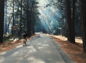
Bike Yosemite Valley
4.012 miBringing my bike to the Valley was one of the best decisions I have made on my many trips there. Everything changed after that visit and there will never be another time (unless in the dead of winter) that my bike will not be there with me. The reason is simple: everything is heightened.When Yose...Read more -
YOSEMITE NATIONAL PARK, California
Rock Climb Penthouse Cracks, Yosemite NP
The Penthouse Cracks in Yosemite Valley are a great introduction to crack climbing, in a safe environment. With fixed protection above the routes, you are able to safely top rope these climbs. Featuring a 5.8, two 5.10 climbs, and a 5.11, everyone can find something fun to try.Park at Yosemite Lo...Read more -
Friant, California
Pincushion Peak
2.49 mi / 1043 ft gainHead North on Friant Rd. It will begin to head East, becoming Millerton Rd. Stay on Millerton Rd for 4.2 mi. Turn left onto Sky Harbor Rd (street JUST before Table Mountain Casino). Follow Sky Harbor Rd for 5.8 miles to the end of the road. Parking is available along the road. There are port a po...Read more -
Mariposa County, California
Camp at Crane Flat Campground
Crane Flat Campground is located on the Big Oak Flat Road (Highway 120) just west of Crane Flat, about 30 minutes northwest of Yosemite Valley. Sites are open July-October at $26/night. More info at https://www.nps.gov/yose/plany...Read more -
Tuolumne County, California
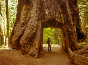
Tuolumne Grove of Giant Sequoias
4.22.67 mi / 653 ft gainThe Tuolumne Grove of Giant Sequoias is one of three sequoia groves in Yosemite National Park. This particular grove has gorgeous forest scenery and provides great solitude compared to the crowded Yosemite Valley. The trail used to be an old road offering a wide path with a gradual descent, makin...Read more -
Yosemite Valley, California
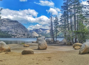
Tenaya Lake
4.63.08 mi / 0 ft gainTenaya Lake is located alongside Tioga Road in the park's Tuolumne Meadows region. There is a family-friendly trail that surrounds the lake. Though some spots along the trail on the western shore may require fording the waters, the 2.5-mile trip is an easy hike for all to enjoy. Many others pre...Read more -
Lakeshore, California
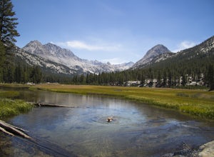
Evolution Valley via Florence Lake
4.530.36 mi / 3238 ft gainYou can get to the Evolution Basin a variety of ways, but the easiest is through the Florence Lake Trailhead. Here, you can choose to either take the Florence Lake Ferry across the lake, or save $25 and hike the extra 4 miles around the lake. Personally, I would choose the ferry. About five mile...Read more -
Madera County, California
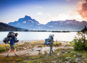
Thousand Island Lake via Agnew Meadows
5.019.6 mi / 3642 ft gainStart from Agnew Meadows about 7 miles away. You can take the High Trail out as part of the River Trail with a long detour passing by several other scenic lakes, including Shadow Lake, Garnet Lake, and Ruby Lake. You will arrive at Thousand Island Lake a few hours after lunch, just in time to set...Read more -
Madera County, California
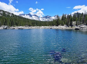
Backpack to Waugh Lake
5.011 mi / 1000 ft gainThere are several trailheads you can start at to get to the lake, but we chose the River Trail in Agnew Meadows because it was the only trailhead that hadn't met the quota yet. You can check on permit's and trailheads here. If the River Trail is booked other great options are Shadow Creek, Fish C...Read more

