Mad River, California
Looking for the best photography in Mad River? We've got you covered with the top trails, trips, hiking, backpacking, camping and more around Mad River. The detailed guides, photos, and reviews are all submitted by the Outbound community.
Top Photography Spots in and near Mad River
-
Redcrest, California
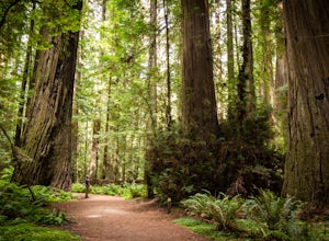
Hike through the Founder's Grove in Humboldt Redwoods State Park
5.01.3 miThe Founder's Grove is easily accessed from Highway 101 in northern California. The grove is also on the Avenue of the Giants Scenic Highway. This area, named after the founders of the Save the Redwoods League, is flat and has a relatively open understory making it one of the most picturesque gro...Read more -
Garberville, California
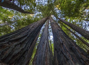
Explore the Avenue of the Giants
5.0The Avenue of the Giants is a scenic 31 mile long highway that is surrounded by 51,222 acres of giant redwood trees in the Humboldt Redwoods State Park. This road offers amazing views of the redwoods. The Avenue of the Giants runs through many small towns that offer tons of tourist attractions.Th...Read more -
Humboldt County, California
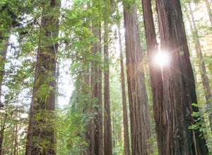
Hike the Humboldt Redwoods River Trail
3.4 mi / 450 ft gainYou probably won't find as many people along this trail (which I like!) as it's unmarked and sits just south of Rockefeller Loop which draws a good number of visitors, primarily because it has the tallest trees (also definitely worth a visit!). The River Trail is a relatively short, flat hike wit...Read more -
Humboldt County, California
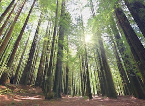
Hike the Rockefeller Forest Loop
0.7 mi / 20 ft gainFrom the Avenue of the Giants turn west onto Mattole Road. Continue 1.5 miles to the Rockefeller Forest trailhead.Rockefeller Forest is a less well known grove in Humboldt Redwoods State Park. It's distance from the main road shelters the forest from traffic noise. The trail is wide and smooth, ...Read more -
Junction City, California
Fly Fish the Trinity River
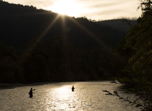
The Trinity River is one that is rarely visited by your typical Bay Area resident. In fact, much of true Northern California is "untouched" in the eyes of those who live in The City, which is what drew me to this place to begin with. After a five hour journey from San Francisco, we made it to our...Read more -
Junction City, California
Canyon Creek Lakes
4.314.35 mi / 2605 ft gainNumerous starting points with over 550 miles of trail and easily 50+ different featured trails depending on length and what type of activity you are are looking for. One of the more popular trails, and rightfully so, is Canyon Creek Lakes Trail. This 16 mile roundtrip hike has an overall elevatio...Read more -
Whitethorn, California
Chinquapin Loop on The Lost Coast
4.07.87 mi / 2159 ft gainI did this hike the day before setting out on a backpacking trip along the northern section of The Lost Coast Trail and it was a fantastic warm up hike. The Chinquapin Loop is a loop off of The Lost Coast Trail along Chemise Mountain, near the start of the southern section of the LCT. You can st...Read more -
Whitethorn, California
Black Sands Beach on the Lost Coast
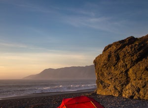
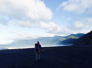
5.00.5 miBlack Sands Beach and all of the Lost Coast is almost indescribable in its ruggedness and beauty. Black Sands Beach sits along the southern portion of of the famous Lost Coast Trail, and is accessible by one of the two roads that go across the King Range to the ocean. From 101 in Garberville, hea...Read more -
Whitethorn, California
King's Peak from Shelter Cove
2.030.85 mi / 6204 ft gainAfter parking at Shelter Cove and securing a camping permit ($3 per night in the backcountry) follow the bear prints down the coastline for 5 miles, keeping in mind that the tide devours the beach every 12 hours. Parts of the beach become impassable at high tide. Camp overnight at Buck Creek, th...Read more -
Leggett, California
Taber Nature Trail
0.81 mi / 217 ft gainSigns at the trail head for the Taber Trail state it is 1.1 miles long. That is much shorter than the actual 1.8 miles my GPS put it at. The trail sign also claims it is wheelchair accessible. I can see that for a little ways but as the trail begins to climb, I think this would be a tough go. Th...Read more -
Trinity Center, California
Stuart Fork Trail to Emerald and Sapphire Lakes
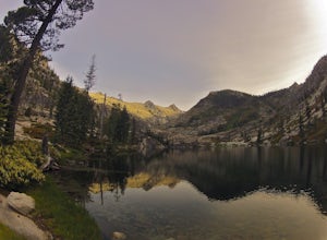
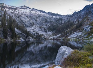
5.027.06 mi / 4213 ft gainThe trail begins just past the Trinity Alps Resort, a private collection of cabins near Weaverville, CA. Hikers wanting an early start can spend the night at the Bridge Camp Campground, located next to the trailhead. The path starts out wide and level, following an old road to the wilderness bou...Read more -
Trinity Center, California
Stuart Fork to Alpine Lake
16 mi / 4265 ft gainNestled in the heights of the Trinity Alps, this hike to Alpine Lake is not for the faint of heart. Before embarking on this adventure call the Weaverville Ranger station to check snow levels as well as the flow of the Stuart Fork River. If you are too early in the summer season the snowpack wi...Read more -
Trinity Center, California
Backpack Stuart Fork to Emerald and Sapphire Lake
25 mi / 4448 ft gainThe Stuart Fork to Emerald and Sapphire Lakes trail features many beautiful lakes, meadows, and an area that resembles a jungle. Dogs are able to use this trail. This trail can be done as a day hike, an overnight, or a three-day backpacking trip. If you choose to make it a three day, the meadows ...Read more -
Whitethorn, California
Jackass Creek via Lost Coast Trail
23 mi / 8071 ft gainThe Lost Coast is infamous. For its name alone draws visitors from around California and the world. A 26-mile stretch of coast, road less, with a wall like mountain range just yards from the ocean and beach. But with the Lost Coast being what it is, there is a lesser-known, yet equally stunning h...Read more -
French Gulch, California
Hike to Whiskeytown Falls in Whiskeytown National Recreation Area
2.8 mi / 787 ft gainComing from Redding pass the visitor center and heading down highway 299. Make a left turn on Crystal Creek Road. Drive about 3.75 miles and on your left will be the Mills Creek Trailhead. Start hiking. You will start headed downhill towards the creek. You will cross Crystal Creek on a footbridge...Read more -
Trinity Center, California
Backpack Stony Ridge in the Trinity Alps
16.5 mi / 4500 ft gainThe Trinity Alps has miles and miles of beautiful trails, but one of the more stunning sections is the Four Lakes Loop. There are two main trail heads that access the trail. Long Canyon Trail and Stony Ridge Trail both are both beautiful but Stony Ridge is the more popular route yet strenuous. To...Read more

