Lassen National Forest, California
Looking for the best photography in Lassen National Forest? We've got you covered with the top trails, trips, hiking, backpacking, camping and more around Lassen National Forest. The detailed guides, photos, and reviews are all submitted by the Outbound community.
Top Photography Spots in and near Lassen National Forest
-
Pacific Crest Trail, California
Camp at Warner Valley
Warner Valley Campground is at the end of Warner Valley Road. It's 16 dollars a night at a first come first serve basis. As far as the campground it self, there are a few bathrooms and each site has a fire ring and a picnic table. There are 17 sites which isn't a ton but since it's a fairly unuse...Read more -
Round Mountain, California
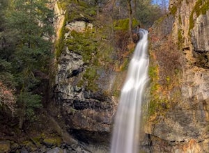
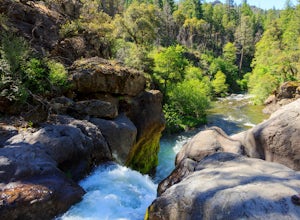
Potem Falls
5.00.58 mi / 151 ft gainPark in the pull-out on Fenders Ferry Road. There you will find the Potem Falls trailhead. The hike is only 0.6 miles long--you'll likely spend more time enjoying the falls than getting there! Bring your swim gear if you want to jump in the pool. The trail is dog-friendly and open March-October.Read more -
Plumas County, California
Camp at Last Chance Creek Campground on Lake Almanor
This PG&E campsite is located on the northern most inlet of Lake Almanor and is slightly more remote than the other sites around Lake Almanor. The campground offers spectacular views and easy access to great fishing. To get there, head east out of the town of Chester on Highway 36. After cros...Read more -
McCloud, California
Algoma Campground
The Algoma Campsite is a free campsite along the Upper Portion of the McCloud River. It features eight sites and a pit toilet. Unlike the other campgrounds in the area, this site receives very little traffic and has no fee. To get there, take SR 89 east from the McCloud Ranger Station for 13 mi...Read more -
Tehama County, California
Explore Deer Creek Falls
5.00.5 miThis extremely short hike starts just off of Highway 32. From Chester, head southwest on 32 for roughly 21 miles. There is a turnout and a sign where the trail starts. This waterfall is best viewed in the spring when there is still a large amount of snow melt off. This waterfall is definitely not...Read more -
McCloud, California
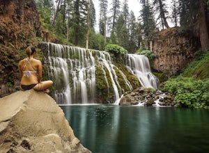
Middle McCloud Falls
4.82.49 mi / 243 ft gainJust 4 hours north of San Francisco, McCloud Falls offers a quick hike and swimming hole for those looking for something less crowded than Burney Falls. McCloud Falls has 3 tiers, but the middle section offers the best views by far. Getting Here To get here, park at the Fowlers Campground which...Read more -
Redding, California
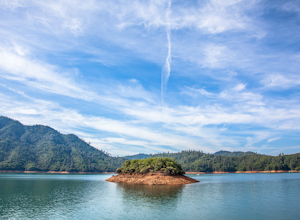
Houseboat Lake Shasta
1 mi / 1 ft gainLake Shasta sits at the foot of infamous Mt Shasta, past the major Northern California city of Redding. From the Bay Area you can count on at least a 3.5 hour drive to get to waters edge, but the drive goes by quickly just cruising on HWY 5. There are multiple Marinas on Shasta but the largest is...Read more

