Lakeside, California
Looking for the best hiking in Lakeside? We've got you covered with the top trails, trips, hiking, backpacking, camping and more around Lakeside. The detailed guides, photos, and reviews are all submitted by the Outbound community.
Top Hiking Spots in and near Lakeside
-
Temecula, California
Dripping Springs Trail
4.013.68 mi / 3287 ft gainThe trail immediately begins to climb out of the campground on a well-graded incline. The next mile contains some climbing leading to a set of switchbacks. A long strenuous climb ensues until the 3200' elevation is reached. The trail then makes an easy southward traverse to the basin before resum...Read more -
Aguanga, California
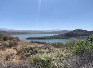
Vail Lake Loop
4.07.25 mi / 922 ft gainVail Lake Loop is a loop trail that takes you by a lake located near Temecula, California.Read more -
Fallbrook, California
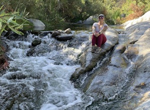
Hike the Santa Margarita River Trail
5.05 mi / 469 ft gainSanta Margarita River Trail is a 5 mile out-and-back hike that takes you near the river in Fallbrook, CA. This trail provides some shade which is helpful on hot days. If you bring your swimsuit you can hop in for a dip on hotter days. Make sure you wear good hiking shoes due to some rocky terrai...Read more -
San Diego County, California
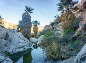
Hike Sheep Canyon
5.03 mi / 1000 ft gainSheep Canyon is probably the most remote palm canyon in Anza-Borrego Desert State Park in California. While Palm Canyon is easily accessed from the State Park campground, Sheep Canyon is on a dirt road that requires stream crossings and potentially a high-clearance 4WD vehicle. The canyon is nam...Read more -
San Diego County, California
Hike Canyon Sin Nombre
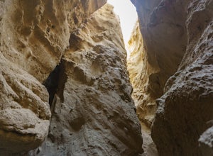
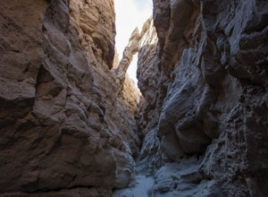
4.05 mi / 750 ft gainThis slot canyon hike is found deep in the Anza-Borrego Desert State Park in Canyon Sin Nombre. If you have a suitable 4WD vehicle you can drive about 2.2 miles to the start of the slot otherwise you can hike down the sandy unpaved road. The entrance will be on your left and marked by metal posts...Read more -
San Diego County, California
Hike to the Goat Canyon Trestle
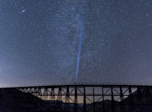
5.07 miThe main attraction of this hike is the wooden trestle. This engineering marvel was built in 1932 and still remains the tallest and longest curved wooden trestle in the U.S.This hike is recommended for the physically and mentally prepared. From Mortero Palms, it's a 3.5 mile (7 miles roundtrip) t...Read more -
Borrego Springs, California
The Slot
4.72.2 mi / 266 ft gainHiking The Slot From the parking lot, you will take the trail into the canyon that is directly in front of you. This will be the hardest and steepest part of the hike. There are no trail markers for the Slot. You can take the trail to the right of the parking lot very briefly, but make sure or y...Read more -
San Diego County, California
Exploring Anza Borrego's Wind Caves
4.8The drive to the caves is pretty lengthy, so be prepared.First you will drive through Anza Borrego State Park on Highway 78, then on a Split Mountain road which eventually turns into gravel road, and you need to look out for the entrance to the wash-road (which if you like to off road, is a perfe...Read more -
Borrego Springs, California
Off-Road through Split Mountain in Anza Borrego
4.011 mi / 0 ft gainFor all you desert lovers- this is a must. Or for all you SD residents that want to try something new and take a break from the populated trails within the county- spend a day in Anza Borrego and include this on your list.This state park is just a quick jaunt outside of the town of Julian. This m...Read more -
San Diego County, California
Camp On the Abandoned Santa Margarita Lookout Helipad
4.3Starting in Murrieta, CA you don't have to venture far to enjoy a beautiful view and less light polluted skies.From Murrieta on the I-15 freeway you're going to want to take the Clinton Kieth Road exit and head west. If you're low on gas make sure to fill up at the 7 Eleven on the left corner. Th...Read more

