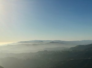
La Cañada Flintridge, California
Looking for the best hiking in La Cañada Flintridge? We've got you covered with the top trails, trips, hiking, backpacking, camping and more around La Cañada Flintridge. The detailed guides, photos, and reviews are all submitted by the Outbound community.
Top Hiking Spots in and near La Cañada Flintridge
-
Los Angeles, California
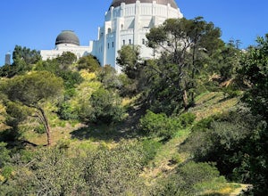
Hollyridge Trail to the Hollywood Sign [Closed]
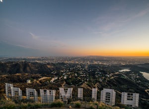
4.13.5 mi / 383 ft gainThis trail is closed as is the Beachwood Gate which is used to access the Hollyridge Trail will be permanently closed on April 18th, 2017 due to a court order. Check out Hollywood Sign via Brush Canyon Trail for an available option. There are three ways to get to the Hollywood Sign. This route ...Read more -
Los Angeles, California
Verdugo's North Ridge Trail
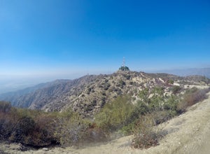
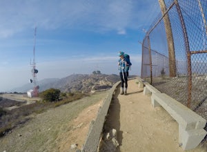
12.7 mi / 2684 ft gainThe Verdugo Mountain Range is a small, rugged range spanning across the northeast end of the San Fernando Valley from Sun Valley to Glendale. With close to 50 miles of graded and well-maintained trails, the Verdugos are surprisingly underutilized and make a great place for someone looking to esca...Read more -
Los Angeles, California
Verdugo Mountain Traverse
5.012.13 mi / 0 ft gainThe Verdugo Mountain Range is a small, rugged range spanning across the northeast end of the San Fernando Valley from Sun Valley to Glendale. With close to 50 miles of graded and well-maintained trails, the Verdugos are surprisingly underutilized and make a great place for someone looking to esca...Read more -
Los Angeles, California
Hollywood Sign via Brush Canyon Trail
4.65.04 mi / 1155 ft gainGetting to the parking lot near the trailhead and finding an open space can seem like the most daunting part of this whole excursion. There are free parking lots along the road to the trailhead, so keep an eye out. There are also several ways to get to the trailhead from other parking areas; I ad...Read more -
Los Angeles, California
Secret Swing in Elysian Park
4.20.16 mi / 360 ft gainFor the most direct directions to the swing, plug in "Swing on top of Elysian Park" into google maps, which will take you directly to the trailhead. If you want to do it the more old fashion way, the swing is on top of a hill at the intersection of Angels Point Drive and Park Row Drive in Elysian...Read more -
Los Angeles, California
Bronson Bat Caves
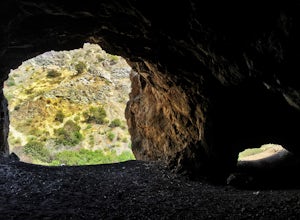
3.30.61 mi / 66 ft gainWho doesn't enjoy a short hike to a scenic/remote location? I know I sure do! After hearing about this spot through word of mouth and the internet, and seemingly never having the time to check it out, I honestly have to say it was a worthwhile trip. This short 0.6 out and back hike/walk to the f...Read more -
Los Angeles, California
Hoover Walk
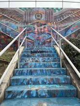
4.0In 2009, the people that lived in the neighborhood, close to the stairs, wanted to find a way to fight the graffiti that was being put on the structures and stairs themselves. Artist Ricardo Mendoza was commissioned to paint a giant mural that would cover most of the concrete walls that surround ...Read more -
Los Angeles, California
Silver Lake Reservoir Trail
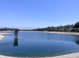
3.02.18 mi / 79 ft gainSilver Lake Reservoir Trail is a loop trail that takes you by a lake located in the Silver Lake neighborhood of Los Angeles, California. This urban escape is used by people running, walking, and birding. The trail is stroller-friendly, so you may see parents along the trail with their younger fam...Read more -
Los Angeles, California
West Trail Loop
4.31.85 mi / 463 ft gainThe trail starts near Dell Picnic area, near the Trails Cafe. On this wide fire road, you can choose to run or hike, but don't expect to have the trail to yourself, especially if you're heading out on the weekend. With that said, you can time your run or hike around sunset and get amazing views b...Read more -
Los Angeles, California
Elysian Park
4.01.88 mi / 282 ft gainThe trail at Elysian Park in Los Angeles, California, is a moderate difficulty hike that spans approximately 1.88 miles. The trail is well-marked and offers a variety of terrain, including dirt paths and paved roads. The trail is known for its panoramic views of the city, including the iconic Dod...Read more -
Los Angeles, California
Ferndell to the West Observatory Loop Trail to Griffith Observatory
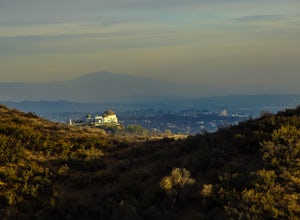
4.52.63 mi / 587 ft gainThe Ferndell to Griffith Observatory trail in Los Angeles, California is a moderate difficulty, 2.63-mile loop trail. The trail starts at Ferndell Nature Museum, a small museum with a garden and picnic area. The trail then ascends through a shaded canyon, with a small stream running alongside. ...Read more -
Los Angeles, California
Wisdom Tree
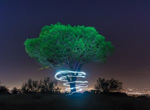
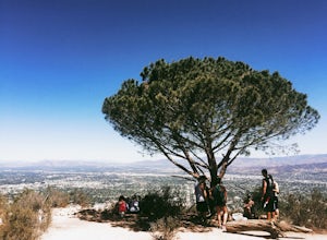
4.80.95 mi / 528 ft gainIn Griffith Park, park along Lake Hollywood Drive and walk the paved quarter mile up Wonder View Drive to the start of Wonder View Trail. Here, walk through the yellow gate and make the first right after the road turns to dirt. Head up this unmarked single track path heading east up the mountain....Read more -
Los Angeles, California
Cahuenga Peak Loop Trail
3.88 mi / 1237 ft gainThe Cahuenga Peak Loop is perfect for trail runners and hikers. The trailhead is in Hollywood Hills - park off to the side on a street. This trail features beautiful wildflowers in the spring. Dogs are allowed on the trail if kept on leash. The trail can be dusty and dirty, so watch your step. Ke...Read more -
Los Angeles, California
Cahuenga Peak via Burbank Peak Trail
2.23 mi / 719 ft gainCahuenga Peak via Burbank Peak Trail is an out-and-back trail that takes you past scenic surroundings located near Los Angeles, California.Read more -
Los Angeles, California
Sunset Hike in Ascot Hills
3.5Ascot Hills Park is a great hidden gem located a few miles east of Los Angeles. There is a parking lot with plenty of parking but the gates close at sunset, which is a great time to go, so if you plan on staying later, park outside the gates where there is ample street parking. Depending on the s...Read more -
Los Angeles, California
Aileen Getty Ridge Trail
5.03.55 mi / 1194 ft gainThe Aileen Getty Ridge Trail is a singletrack trail that runs between Mt. Lee and Burbank Peak (the location of the Wisdom Tree). Though there are many options to access this trail, the most direct route is from the west via the Wonder View Trailhead. Start by parking on Lake Hollywood Drive near...Read more

![Hollyridge Trail to the Hollywood Sign [Closed]](https://images.theoutbound.com/contents/101823/assets/1421740399247?w=300&h=220&fit=crop&q=60&s=2a530c5406ca77dd7baf662c74a58ba1)
