Kings Canyon, California
Top Spots in and near Kings Canyon
-
Sequoia National Park, California
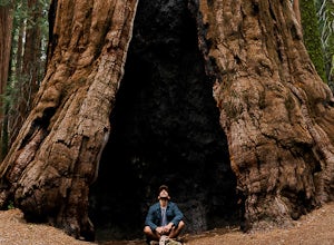
Hike the Congress Trail
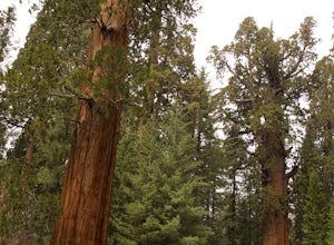
5.03.1 mi / 500 ft gainWhile the General Sherman Tree is the main attraction in this area, the Congress Trail allows you to get away from the majority of the crowd and explore the giant sequoias at your leisure. The vast majority of visitors only walk to and from the General Sherman Tree. The trail starts out from the ...Read more -
Bishop, California
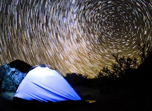
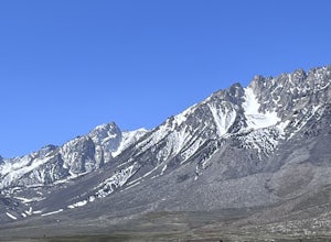
Photography in the ButterMilks
5.0The Eastern Sierras have some of the most spectacular views in the world. This area in particular is known for its rock climbing. It also has amazing opportunities for photographers.The nights during a new moon are incredibly dark and create great astro photography shots. During the day, the l...Read more -
Bishop, California
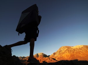
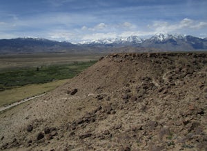
Bouldering In The Buttermilks
5.0The Buttermilks is a historical climbing area that is home to some of the worlds most famous rock climbs. It is located at the base of the Eastern Sierras near Bishop, CA. In this region there are 3 main bouldering areas: The Happies, The Sads, and The Buttermilks.The Buttermilks are massive gr...Read more -
Bishop, California
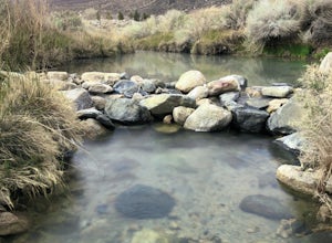
Keough Hot Springs Creek
...As many of us enjoy a good hot spring to relax in, I think most will agree that it’s even better when it’s free and out in nature. If you decide to have a little bit more of a luxurious hot spring experience, you can continue to take that road about another mile to the Keough Hot Springs campi...Read more -
Sequoia National Park, California
Hike through the Giant Forest in Sequoia NP
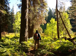
5.02 mi / 154 ft gainTake a drive to Sequoia National Park and take in the beautiful views of the second oldest national park. If you go in the winter or early spring time, be sure to check the weather beforehand and be prepared for the cold.If you are an avid traveler to national parks, I'd recommend that 2 weeks b...Read more -
Sequoia National Park, California
Backpack the High Sierra Trail
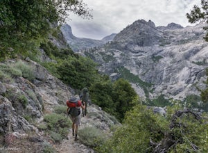
5.071 miThe High Sierra Trail begins at Crescent Meadow in Sequoia National Park, on the West side of the Sierra Nevada range, and ends at Whitney Portal on the East, traversing the highest and most beautiful part of the Sierras. From deep river canyons to high alpine peaks, lakes, and meadows, this hike...Read more -
Sequoia National Park, California
Hike Crescent Meadow
4.51.6 miCrescent Meadow is a collection of loops in the Giant Forest in Sequoia National Park. The trailhead is located just past the tunnel log east of General's Highway 198. The main loop is 1.6mi total. However you can take any of the loops to the General Sherman tree 3mi, Tharp's Log trail 0.5mi, or ...Read more -
Bishop, California
Snowshoe to Blue Lake
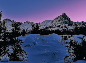
6.2 mi / 1350 ft gainStarting in Aspendale at 8500 feet, this 5 mile hike is very invigorating and beautiful. To get here, take hwy 395 until in Bishop. Turn onto hwy 168 until you pass the small town of Aspendale. The road dead ends about another mile up the road and you can park. Walk past the yellow gate toward la...Read more -
Sequoia National Park, California
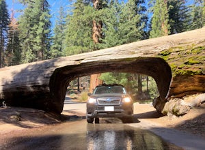
Drive through Tunnel Log
Tunnel log is a massive fallen sequoia across the middle of the road, which is a great photo opportunity for visitors of the national park. The mammoth tree fell over in 1937, but a year later, a car tunnel was carved in the middle of its trunk so vehicles could still pass through. Although the...Read more -
Bishop, California
Camp at Pleasant Valley Pit
3.5Pleasant Valley Pit offers 75 sites, fires outside camping area need a permit, a dumpster is in the campground, 4 vault toilets, no water, some tables, fire rings. To get here, head 0.5 miles off of the Pleasant Valley Road. $2 per vehicle. Learn more at blm.govThis campground is dog-friendly, bu...Read more -
Sequoia National Park, California
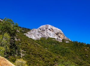
Hike Moro Rock
5.0Moro Rock is a granite dome with a staircase leading to the 6,725 foot summit, where you can enjoy a spectacular view of the Great Western Divide. From Generals Hwy, you can drive up Crescent Meadow Road to the parking lot at the base of Moro Rock (summer weekends the road is closed for shuttles ...Read more -
Bishop, California
Buttermilk OHV Road
5.014.73 mi / 2802 ft gainButtermilk OHV Road is a point-to-point trail that provides a good opportunity to see wildlife located near Bishop, California.Read more -
Independence, California
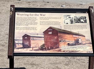
Manzanar Japanese Relocation Site: Manzanar Trail
5.02.22 mi / 112 ft gainManzanar Japanese Relocation Site: Manzanar Trail is a loop trail that takes you past scenic surroundings located near Independence, California.Read more -
Tulare County, California
John Muir Trail: Camping Above Guitar Lake
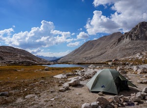
Plan your last night to be spent near Guitar Lake at one of the unnamed lakes just a half mile above it along the trail. You'll find sun late into the afternoon and it serves as a great basecamp to hit Mt. Whitney for sunrise early on your final morning on the JMT.Find out everything you need to ...Read more -
Sequoia National Park, California
Camp at Buckeye Flat in Sequoia National Park
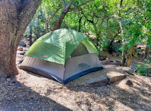
Entering Sequoia National Park at the Ash Mountain Entrance near the small city of Three Rivers, follow Highway 198 (Generals Highway) through the park until you see a sign for Buckeye Flat Campground off to the right. The campground sign is immediately after you see signs for Hospital Rock. Foll...Read more -
Bishop, California
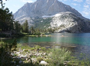
Hike Pine Creek Pass to Lower Pine Lake
10 mi / 2500 ft gainThe Pine Creek Pass is usable for day hiking and overnight adventures. If you'd like to spend the night, be sure to pickup a wilderness permit! If you plan to bring a four legged friend, make sure to indicate that on your wilderness permit request. There are several lakes you can stop at througho...Read more

