Kings Canyon National Park, California
Looking for the best hiking in Kings Canyon National Park? We've got you covered with the top trails, trips, hiking, backpacking, camping and more around Kings Canyon National Park. The detailed guides, photos, and reviews are all submitted by the Outbound community.
Top Hiking Spots in and near Kings Canyon National Park
-
Inyo County, California
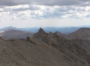
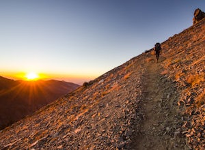
Scramble up Mt. Muir
5.018.5 mi / 6200 ft gainFrom the Whitney Trail - beyond trail crest - you will see a big cairn (right side). If you make it to the first "window of Mt. Whitney" you have gone too far. The cairn marks the start of an class 2 use trail up to the Mt. Muir headwall.The headwall is a fun climb with good handholds and has lit...Read more -
Inyo County, California
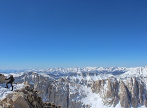
Winter Summit Mt. Whitney
22 mi / 6500 ft gainDay 1: We arrived at the Lone Pine Visitors Center at the intersection of HWY 395 and HWY 136 just south of Lone Pine, CA. We issued ourselves our overnight permits to climb Mt. Whitney and picked up our Wag Bags. You can self issue yourself the free permit Nov. 2 through Apr 30. Climbing during ...Read more -
Inyo County, California
Meysan Lakes Trail
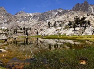
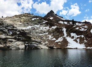
9.23 mi / 3724 ft gainMeysan Lakes Trail is located on the ever popular Whitney Portal Road. Park on the side of the road next to the Whitney Portal Campground. Start the hike by cutting through the campground, and passing some seasonal cabin style residences. Follow the Meysan Lakes Trail signs. The trail cuts throu...Read more -
Sequoia National Park, California
Camp at Buckeye Flat in Sequoia National Park
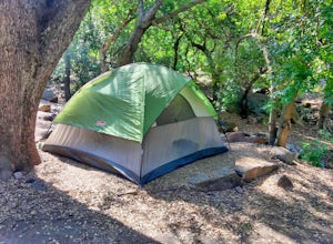
Entering Sequoia National Park at the Ash Mountain Entrance near the small city of Three Rivers, follow Highway 198 (Generals Highway) through the park until you see a sign for Buckeye Flat Campground off to the right. The campground sign is immediately after you see signs for Hospital Rock. Foll...Read more -
Bishop, California
Photography in the ButterMilks
5.0The Eastern Sierras have some of the most spectacular views in the world. This area in particular is known for its rock climbing. It also has amazing opportunities for photographers.The nights during a new moon are incredibly dark and create great astro photography shots. During the day, the l...Read more -
Bishop, California
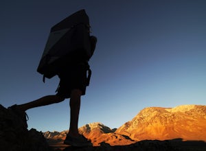
Bouldering In The Buttermilks
5.0The Buttermilks is a historical climbing area that is home to some of the worlds most famous rock climbs. It is located at the base of the Eastern Sierras near Bishop, CA. In this region there are 3 main bouldering areas: The Happies, The Sads, and The Buttermilks.The Buttermilks are massive gr...Read more -
Bishop, California
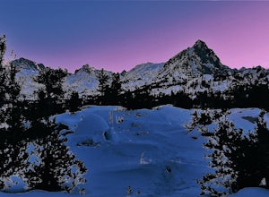
Snowshoe to Blue Lake
6.2 mi / 1350 ft gainStarting in Aspendale at 8500 feet, this 5 mile hike is very invigorating and beautiful. To get here, take hwy 395 until in Bishop. Turn onto hwy 168 until you pass the small town of Aspendale. The road dead ends about another mile up the road and you can park. Walk past the yellow gate toward la...Read more -
Three Rivers, California
Backpack to Crystal Lakes
5.09.8 mi / 2200 ft gainThe trail to Crystal Lakes begins at the Timber Gap/Sawtooth Trailhead (7,800 feet elevation), which is located at the end of Mineral King Valley Rd. The trail immediately ascends through a meadow boasting dramatic alpine views and a roaring waterfall. Eventually you'll cross Monarch Creek and b...Read more -
Three Rivers, California
Backpack the Little Five & Big Five Lakes Loop
5.026.5 mi / 10000 ft gainDay 1: A long, rewarding day. Over the course of 11.5 miles you will complete around 10,000ft of elevation change. To start, park the car at the Sawtooth-Monarch Trailhead (7500ft) and begin on the trail, immediately ascending to Timber Gap (9500ft). Once at the gap, the trail makes it's way do...Read more -
Three Rivers, California
Hike to Lower Monarch Lake
5.08.4 miThe drive takes about 90 minutes to get to the trailhead from Three Rivers, CA so plan accordingly and make sure you get there early. Lower Mineral Lake is located below Sawtooth Peak in Sequoia National Park.Once you're parked and ready to jump on the trail, head to the Sawtooth Trailhead. You'l...Read more -
Three Rivers, California
Backpack to Franklin Lakes & Franklin Pass
11.4 mi / 2500 ft gainFranklin Lakes is part of the Sequoia National Park and can be reached from the trailhead starting near the Mineral King Ranger Station. Bear containers are required and can be rented at the Ranger Station. The hike to Franklin Lakes campground will take 6 hours or less (depending on your speed/h...Read more -
Three Rivers, California
Backpack in Mineral King
5.030 miThe trailhead is right near the Mineral King Ranger Station (on Mineral King Rd) in Sequoia National Park. Depending on where you're coming from I would recommend driving in and camping at Cold Springs Campground (which is also in close proximity to the ranger station) the night before you begin ...Read more -
Inyo County, California
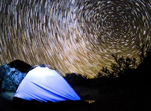
Camp in the Alabama Hills
4.8The Alabama Hills Recreation Area is a area owned by BLM and open to the public. Camping is free and you can say for a max of 14 days.The are has 100+ open desert sites that are shadowed by some of the tallest peaks in the Sierra Nevada range. And if that wasn't enough, the area was the backdrop ...Read more -
The Mobius Arch Loop Trailhead, California
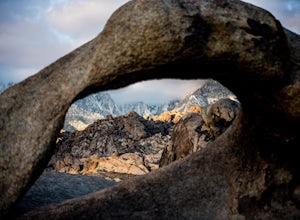
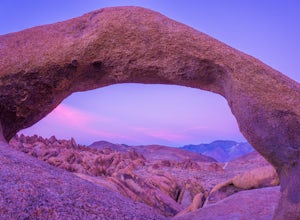
Mobius Arch Loop
4.40.63 mi / 46 ft gainThe Alabama Hills area of Lone Pine, CA is located on the eastern side of the Sierra Nevadas. As you drive along Movie Flat Road you will be surrounded by a sea of golden brown boulders of varying shapes and sizes extending in every direction. The main attraction in Alabama Hills is definitely th...Read more -
Lone Pine, California
Explore The Heart Arch
A small heart shaped arch naturally formed in the bounders at The Alabama Hills, at the foothills of the Sierras. The Alabama Hills are formation of rounded rocks near the eastern Slope of the Sierra Nevada in the Owens Valley. It is a popular filming location for movie and television show produ...Read more -
Lone Pine, California
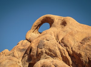
Photograph Eye of the Alabama Hills Arch
3.50.4 miThe Eye of the Alabama Hills Arch is a quick hike or drive from the popular Mobius Arch just off Movie Flat Road. The rocks around the arch offer outstanding views of the surrounding Alabama Hills and Sierra Mountains. To get to the arch follow the directions for Mobius Arch which is a great firs...Read more

