June Lake, California
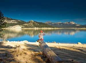
June Lake, California, offers some of the top trails and outdoor activities for those seeking scenic adventures. A must-visit trail is the Rush Creek Trail, a moderate difficulty hike with stunning views of the Sierra Nevada Mountains, the Ansel Adams Wilderness, and the pristine Silver Lake. Another top trail is the Fern Lake Trail, a challenging uphill hike that rewards with views of the beautiful Fern Lake. For a more relaxed outdoor activity, you can enjoy fishing in the crystal-clear waters of June Lake or Gull Lake. Nearby, the Mono Lake Tufa State Natural Reserve is home to unique rock formations and a variety of bird species. These are just a few examples of the best outdoor adventures in and near June Lake.
Top Spots in and near June Lake
-
Bishop, California
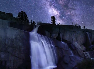
Sailor Lake Backpack & Climb of Mt. Haeckel
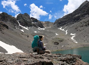
5.013 mi / 2500 ft gainThe basic part of this adventure is a backpack to Sailor Lake. From there you can enjoy small dayhikes to the nearby lakes or waterfalls, go fishing, enjoy some photography or just lounge in camp and gaze at the beautiful scenery. Although Sailor Lake looks smaller than the nearby lakes it stil...Read more -
Bishop, California
Backpack the Piute Pass Trail in the John Muir Wilderness
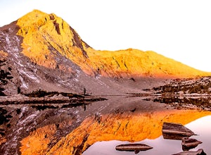
21 mi / 2000 ft gainWith so many famous hiking trails in the Sierras, its hard to find a trail as isolated as the Piute Pass Trail. This trail allows you to hike in the John Muir Wilderness, Inyo National Forest, and Sierra National Forest in one 20 mile section of trail. You will encounter amazing wilderness, spect...Read more -
Bishop, California
Baboon Lakes via Sabrina Basin
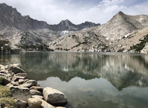
8.53 mi / 2165 ft gainGorgeous and sizable alpine lakes beyond Blue Lake via Sabrina Basin trail. There are some very confusing descriptions on the internet for this so hopefully this can help. Hike for 3 miles to get to Blue Lake, which is huge and a popular camping spot for backpackers. Continue past the lake (it ...Read more -
Bishop, California
Hike to Emerald Lakes
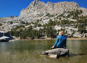
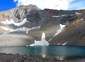
7.2 mi / 1719 ft gainIf you are considering this hike, then I am sure you are already familiar with the undeniable beauty that the Eastern Sierra radiates. Any season, any time- it is there. One of my particular favorites for a day hike to experience this beauty is the trek to Emerald Lake outside of Bishop.From Bish...Read more -
Bishop, California
Climb White Mountain Peak
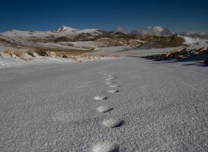
4.314 mi / 2000 ft gainNot surprisingly, White Mountain Peak is the apex of the White Mountains, which rise out of the desert floor just north of Death Valley. The White Mountains were aptly named as they are frequently covered in snow.The trailhead starts at 12,000ft and winds it's way over a few hills before the fina...Read more -
Shaver Lake, California
Camp at Voyager Rock Campground
4.0The paved road ends at the Maxson Trailhead parking lot on the SE side of Courtright Reservoir. The adventure starts with a glance to the left, down a rock-strewn dirt track that leads off further into the wilderness. You're wondering, "Is that the trail?" and "Do I dare?"The Dusy-Ershim Trail of...Read more -
Highway 108, California
Backpack to Blue Canyon Lake
5.03.6 mi / 1280 ft gainTrailhead Coordinates: 38º 19'08.46"N 119º39'49.26"W Elev 8897ftThe trail is kind of tricky to find. It is West of the PCT trailhead at Sonora Pass and it is not marked. You park along the side of Hwy 108 and scramble down an embankment where a creek flows at the bottom. Cross this creek and you ...Read more -
Highway 108, California
Hike to Deadman Lake
6 mi / 1700 ft gainStart: 38º19'08.46"N 119º39'49.26"W Elev 8879ftPark along Hwy 108, head down the bank and across the stream at the bottom. There you will find the start of the trail.This is a challenging hike without much of an actual trail to follow for the majority of it. The hike is very steep in certain are...Read more

