Junction City, California
Junction City, California is a great place to explore the outdoors. From scenic hikes to water sports, there are plenty of activities to choose from. Here are some of the top outdoor adventures and attractions near the area that you must visit. For a relaxing and beautiful experience, take a stroll on the nearby trails. You can explore the stunning nature and get some fresh air. There are also plenty of outdoor activities such as fishing, kayaking, and camping. For a more active experience, check out the local water sports, such as jet skiing and wakeboarding. Or, head to the nearby botanical gardens and zoos to get up close with the local wildlife. No matter what type of outdoor activities and attractions you're looking for, Junction City, California has something for everyone. So, get out and explore the great outdoors!
Top Spots in and near Junction City
-
Forks of Salmon, California
Grizzly Lake via China Gulch Trailhead
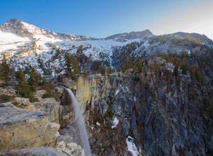
4.414.6 mi / 5112 ft gainGrizzly Lake is in the Trinity Alps Wilderness. The lake is know for its brilliant waterfall flowing from the lake's surface straight off the side of a cliff and roughly 600 feet down to the meadow below. Grizzly lake is located in some of America's most amazing and remote alpine wilderness, incl...Read more -
Forks of Salmon, California
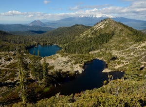
Hike to the Caribou Lakes, Shasta-Trinity Alps
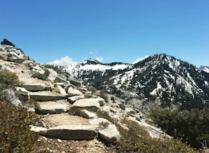
4.016 mi / 3000 ft gainHike through the most majestic and unforgettable mountain ranges, alpine terrains, glacier lakes outside of the Sierra Nevada in Northern California. Yes, it's a long drive there and a lengthy hike, but if you have any doubts about whether this is worth the effort, just go! I struggled with the s...Read more -
Igo, California
Hike to Brandy Creek Falls in Whiskeytown National Recreation Area
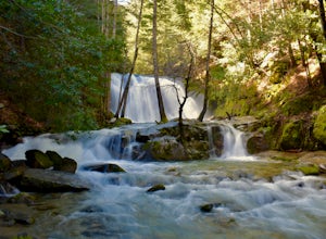
5.03 mi / 500 ft gainMy favorite hike in Whiskeytown National Recreation Area. From the visitor center you will take Kennedy Memorial Drive towards the dam, make a left at Brandy Creek Road. At a junction for Sheep camp/Shasta Bally make a left. You will arrive at the trailhead. This hike follows a beautiful stream t...Read more -
Shasta County, California
Hike Kanaka Peak
4.53.5 mi / 1100 ft gainHead to the Peltier Bridge Campground after entering Whiskeytown National Recreation Area and then go 1.1 miles along the road through the campground until you reach the trailhead for Kanaka Peak. The road from the campground is open from late spring to late fall, otherwise hikers will need to pa...Read more -
Shasta County, California
Hike to the top of South Fork Mountain
5 mi / 4181 ft gainStarting from the Kanaka Peak Trailhead, follow the Kanaka Peak Trail all the way, continuing on past the Peltier Trail Junction and the Kanaka Cutoff Trail Junction until the trail begins to head east (about 2-2.5 miles from the trailhead) and there is a gently sloping hill on your right that is...Read more -
Redding, California
Camp at Shasta Campground
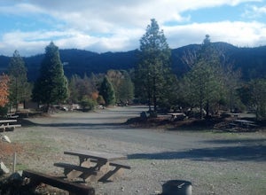
Shasta Campground offers 27 tent/trailer campsites, picnic tables, paved loop road, vault toilets, OHV staging area, potable water, and fire rings. To get to the campground head along Keswick Reservoir, below Shasta Dam. Take I-5 north from Redding about 10 miles to Shasta Dam Blvd. Follow Shas...Read more -
Trinity Center, California
Stoddard Lake
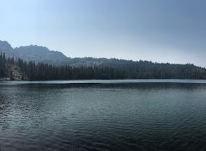
5.07.01 mi / 1325 ft gainThe trail is a bit rocky, so wear sturdy hiking boots or trail runners. While your elevation gain is only 800 total, you will travel upwards of 1,982ft in elevation given the ups and downs of the trail. At mile 1.75, there is a spring that feeds into a large meadow. At mile 3, there is another sp...Read more -
Redding, California
Arboretum Loop Trail
3.52.07 mi / 43 ft gainArboretum Loop Trail is a loop trail that takes you by a river located near Redding, California.Read more -
Redding, California
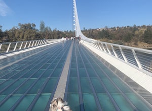
Hilltop Trail Head to Sundial Bridge
4.02.27 mi / 167 ft gainHilltop Trail Head to Sundial Bridge is an out-and-back trail where you may see wildflowers located near Redding, California.Read more -
Redding, California
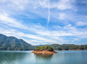
Houseboat Lake Shasta
1 mi / 1 ft gainLake Shasta sits at the foot of infamous Mt Shasta, past the major Northern California city of Redding. From the Bay Area you can count on at least a 3.5 hour drive to get to waters edge, but the drive goes by quickly just cruising on HWY 5. There are multiple Marinas on Shasta but the largest is...Read more -
Etna, California
Hike to the Etna Mountain Summit
6 mi / 800 ft gainTo start off, you're going to want to navigate to the Etna Summit Trailhead (5956 ft). There's a small parking lot off to the side and we did not need any passes for our overnight trip. Since the summit isn't the main destination for many people in this area, you'll want to follow the Pacific Cre...Read more -
Gazelle, California
Hike the Fen Trail at Kangaroo Lake
The Fen Trail around Kangaroo Lake is a beautiful secluded camping and hiking area in the Klamath Forest of Northern California. It connects to the Pacific Crest Trail (PCT), where you can hike up through Oregon and Washington to Canada, or south through to Yosemite.The trailhead starts at the Ka...Read more -
Castella, California
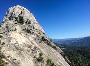
Hike Crags Trail to Castle Dome
4.45.1 mi / 2135 ft gainOne of the gems in the Shasta area, Castle Crags. You can spot these dramatic granite towers from a distance and their jagged formations beckon climbers and hikers alike. Imagine a slice of the Dolomites plucked out of Italy and placed in Northern California. Crags Trail to Castle Dome winds up t...Read more -
Dunsmuir, California
Heart Lake Trail From Castle Lake
5.02.46 mi / 719 ft gainHeart Lake Trail From Castle Lake is an out-and-back trail where you may see beautiful wildflowers located near Dunsmuir, California.Read more -
Dunsmuir, California
Hike to Heart Lake in the Klamath Mountains
4.52.2 mi / 600 ft gainScenes like this are rarely so accessible. Heart Lake is nestled in a bowl below Castle Peak, on the edge of the Castle Crags Wilderness just west of I-5 and the city of Mt. Shasta. The parking lot and trailhead are both located on the shore of Castle Lake, a much larger lake that is stunning in ...Read more -
Pacific Crest Trail, California
Hike or Backpack the Dead Falls Lake Trail
5.08.1 mi / 1358 ft gainThe Dead Falls Lake Trail is perfect for families, dog, and all adventurers. In the spring and summer, there are gorgeous and abundant wildflowers. There is a perfect lunch spot at Deadfall Lake. Close to the gargantuan Shasta, Mount Eddy is the highest peak in the Klamath Mountain. Mount Eddy o...Read more

