Johnson Valley, California
Top Spots in and near Johnson Valley
-
Hesperia, California
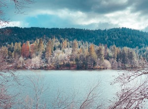
Sawpit Beach, is nestled within the Silverwood Lake State Recreation Area. The beach offers a peaceful respite along the southern shores of Silverwood Lake. With lifeguards on duty during the summer months, families can enjoy a worry-free day of swimming and relaxation. The sandy shores provide t...
Read more
-
Riverside County, California
The Barker Damn trail is a 1.5 mile loop trail across flat terrain which makes it great for the whole family. The hike starts out from the Barker Dam parking lot which is shared with the Wall Street Mill trailhead. You can find the Barker Dam trailhead just to the left of the bathrooms. After ...
Read more
-
Riverside County, California
4.0
2.43 mi
/ 131 ft gain
Hike along the easy Wall Street Mill Trail for about one mile and you will reach the mill - if you are into night photography, this is an amazing subject that will bring you back again and again, always capturing something different. Explore around off trail - there are tons of boulders to play a...
Read more
-
Hesperia, California
Nestled at the southwestern edge of Silverwood Lake lies Cleghorn Beach and Day Use Area, a perfect spot for a leisurely afternoon. This family-friendly beach boasts lifeguards on duty during the summer months and offers reservable picnic shelters for your convenience. Unlike other parts of the l...
Read more
-
Palm Springs, California
John Muir once wrote, "The view from San Jacinto is the most sublime spectacle to be found anywhere on this earth!" So it's no surprise that this is a sought after destination for hikers and climbers alike.
Named after the fact that most climbers use the Palm Springs Aerial Tramway to reach this...
Read more
-
Palm Springs, California
Intermediate: No snow.Advanced: Lots of snow.Expert: Snow w/ high winds and low temps.
GPX: https://www.gaiagps.com/datasu...
San Jacinto, at 10,834 feet, is the second-highest peak in the Southern California. It's unique in that it has a rotating tram car (think slow motion disco floor) that r...
Read more
-
Palm Springs, California
Entering Mt San Jacinto State Park via the Palm Springs Aerial Tram is one of the easiest ways to get into the wilderness area. Purchase your ticket and ride to the station where you'll be able to walk out the backdoor and onto the trail. In order to get to Cornell, your route finding skills wil...
Read more
-
Riverside County, California
3.0
0.75 mi
/ 161 ft gain
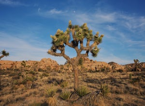
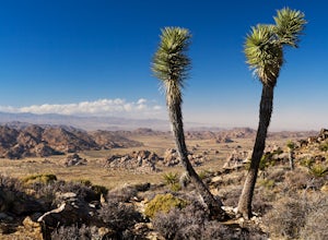
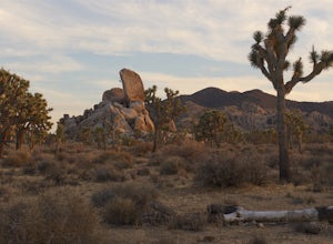
There are two Joshua Trees guarding the trail, which makes for a perfect photo op. There are some monzogranite rock formations (of which the park is famous for). Watch for bunnies and lizards! The trail is handicap accessible, so parents with young children in strollers or those in wheelchairs ca...
Read more
-
Riverside County, California
The Hall of Horrors is across the road from the well-known Saddle Rocks. There is good space in this crag, so don't be discouraged with a full parking lot. Like most places in Joshua Tree, the weather is the largest dictator on when and where you'll climb. There isn't much shade here, so waiting ...
Read more
-
Riverside County, California
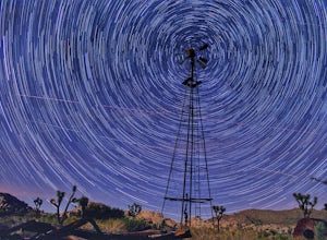
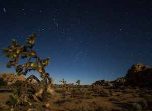
A trip to Joshua Tree is an adventure in itself, but if you plan so that you are shooting Joshua Tree under a full moon, you'll lose yourself in its beauty all over again. See the park's gorgeous, unique characteristics in a completely different light.
Although there may seem to be infinite loca...
Read more
-
Riverside County, California
4.8
2.86 mi
/ 1056 ft gain
One of the most prominent peaks in Joshua Tree National Park in Ryan Mountain. It's centrally located rising to a total of 5,456 feet above the valley floor. The trail to the peak is a moderate hike with a little over 1,000 feet elevation gain with panoramic views of Lost Horse Valley, Queen Vall...
Read more
-
Riverside County, California
Hike starts at the base of Ryan Mountain. The trail runs along side the mountain, offering great views overlooking Joshua Tree. Once you hit the summit, you'll get great panormaic views of the national park as the top of Ryan Mountain is at an elevation of 5457ft.
The trail is open during all se...
Read more
-
Palm Springs, California
North Lykken Trail from W. Crescent Drive is an out-and-back trail that takes you past scenic surroundings located near Palm Springs, California.
Read more
-
Riverside County, California
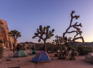
The Ryan Campground is but one of many beautiful campgrounds in Joshua Tree National Park. It is located just south of the Hidden Valley use area. There are 31 sites as well as a horse camp. This campground does not have water, but does have pit toilets.For weekend trips into Joshua Tree, it is o...
Read more
-
Twentynine Palms, California
To find this climb, park on the east side loop of the Ryan Campground in the park. There are several parking spots here next to a bathroom. From here, take the trail straight out about 100 yards to Headstone Rock. It is clearly visible from where you park. One of the hardest parts about this clim...
Read more
-
Redlands, California
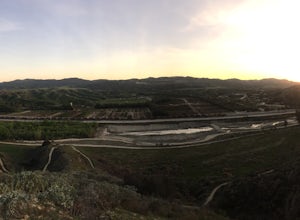
There is room to park just off San Timoteo Road. On the other side of the trail is more parking off Alessandro. You can park your car on either side and start your run/walk/bike ride. This is a nice little "get away" trail to take a break from suburbia.
Read more

