Irwindale, California
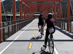
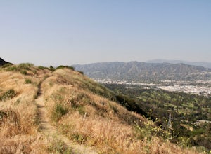
Located in Irwindale, California, the Santa Fe Dam Recreation Area is a must-visit for outdoor adventures. The area offers a unique hiking trail that stretches over 5 miles, providing scenic views of the San Gabriel Mountains and the Santa Fe Dam. The trail is of moderate difficulty, making it accessible to both beginners and seasoned hikers. Along the way, you'll encounter the beautiful lake, home to various waterfowl, and the dam, a notable landmark. The trail also features unique rock formations and lush vegetation. In addition to hiking, the area offers activities such as fishing and biking. Close by, you'll find the top-rated Irwindale Park, another outdoor attraction featuring a playground, picnic areas, and a walking path. Explore the best trails and outdoor activities in and near Irwindale for a memorable day out.
Top Spots in and near Irwindale
-
Los Angeles, California
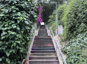
Micheltorena Stairs
3.00.19 mi / 75 ft gainI preferred the steps, before anything was painted on them. Whoever thought it would be a great idea to do that was wrong. No upkeep and these stairs have been heavily vandalized. The steps are a series of stairways you will find throughout Silver Lake and neighboring areas. They facilitated peo...Read more -
Los Angeles, California
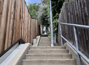
Music Box Steps
5.00.08 mi / 20 ft gainClimb a historical landmark in LA. This is where the famous, Academy Award winning short, Laurel and Hardy made called "The Music Box”. Filmed back in the 1930's the story is about two movers trying to deliver a piano, up these steps. There is a plaque is dedicated at the bottom to this film. It’...Read more -
Los Angeles, California
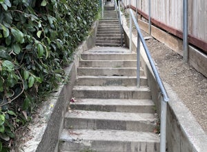
Descanso Steps
4.00.1 mi / 20 ft gainThe steps are a series of stairways you will find throughout Silver Lake and neighboring areas. They facilitated people from the neighborhood in getting to the “red” streetcars, that used to run throughout the city. Cool relics of a mostly-forgotten past. These particular steps take you down from...Read more -
Mount Baldy, California
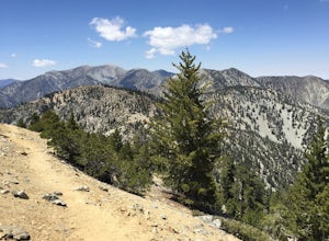
Cedar Glen Camp
4.88 mi / 1650 ft gainCedar Glen Camp is a great beginner backpacking trip just outside of Los Angeles, California. Starting from the Icehouse Trailhead (also used for Cucamonga Peak), head out on the Icehouse Canyon Trail from the parking area. The trail will intersect with the Chapman Trail, at which point, you'll t...Read more -
Mount Baldy, California
Cucamonga Peak via Icehouse Canyon
4.611.13 mi / 4157 ft gainStart hiking early, before the sun rises so you can maximize the day out of the heat and to give yourself plenty of time for the hike. As you get to higher elevations, it will be a little cooler and there might be snow on the ground, so be sure to pack layers. This hike requires a permit. If yo...Read more -
Mount Baldy, California
Icehouse Saddle via Icehouse Canyon Trail
3.86.62 mi / 2562 ft gainThe hike is accessible in all seasons, but in winter there can be snow and ice so special equipment may be useful, but not required. In mid-January there were patches of ice on the trail but were easily crossed in boots and trainers. You can take the trail and end at Ice house Saddle or continue ...Read more -
Mount Baldy, California
Ontario Peak and Cucamonga Peak via Icehouse Canyon Trailhead
16.22 mi / 5610 ft gainWe started out at 8am on a Sunday, usually parking at Ice House Saddle can be tricky, I would advise going earlier. We headed out on our journey hiking up to the saddle, when you reach the switchbacks there is a fresh water spring, it's the last place you can get water...so stock up! We pressed o...Read more -
Los Angeles County, California
Big Tujunga Canyon Lookouts
1.22 mi / 453 ft gainPark at the Condor Peak Trailhead, please note that this trail head is unmarked so keep your eyes peeled on the right side of the turnout for a small single track trail. The trail gradually climbs along the side of the canyon until reaching a 4 way intersection. To your left and to your right wil...Read more -
Los Angeles, California
Hoover Walk
4.0In 2009, the people that lived in the neighborhood, close to the stairs, wanted to find a way to fight the graffiti that was being put on the structures and stairs themselves. Artist Ricardo Mendoza was commissioned to paint a giant mural that would cover most of the concrete walls that surround ...Read more -
Los Angeles, California
Griffith Park Old Zoo Loop
4.02.52 mi / 666 ft gainThe Griffith Park Old Zoo Loop is a 2.52-mile moderately trafficked loop trail located in Griffith Park, Los Angeles. Due to its length and minimal elevation gain of ~670 feet, the hike is open to all skill levels. The trail is primarily used for walking, hiking, and trail running, The Griffith P...Read more -
Los Angeles, California
Mount Hollywood via the Fern Canyon Trail
5.05.02 mi / 1581 ft gainAt 1,625 feet Mt Hollywood is the second highest point in Griffith Park and provides picturesque views of the Hollywood Sign, Griffith Park Observatory, Downtown Los Angeles and the San Gabriel Mountains. The hike to the Mt Hollywood Summit begins on the northeast side of Griffith Park near the ...Read more -
Glendale, California
Brand Library Loop
5.06.56 mi / 2648 ft gainYour adventure will start at the Brand Library parking lot. Walk behind the library towards the gated day use area and you will find the start of the trail on your right, Las Flores MTWY. The first half-mile rises over 500 feet to a plateau, equipped with benches, a park map and views of Griffit...Read more -
Los Angeles, United States
Verdugo Crest Trail
4.06.71 mi / 2510 ft gainThe Verdugo Crest Trail is a 6.6 mile loop near Glendale, California. The trail features lovely wildflowers in the spring and beautiful views year-round. The trail is steep, so make sure you are wearing sturdy running or walking shoes. Dogs are allowed on the trail but must be kept on leash. Va...Read more -
Los Angeles, California
Los Angeles River: West Bank Trail
5.014.4 mi / 331 ft gainLos Angeles River: West Bank Trail is an out-and-back trail that is good for all skill levels located near Los Angeles, California.Read more -
Los Angeles, California
Glendale Peak via Henry's Trail
4.02.07 mi / 915 ft gainGlendale Peak is often passed over by people hiking to Mt. Hollywood, and while it is not as high as its neighbor summit, it boasts arguably better views that you will enjoy all to yourself. While not really a full hiking trail and more of a small detour, Henry's Trail is worth the small uphill c...Read more -
Mount Baldy, California
Mt. San Antonio (Mt. Baldy) via the Ski Hut Trail
5.09.7 mi / 3990 ft gainMt. San Antonio, or Mt. Baldy as it is known locally, is one of the cans of the challenging "six-pack of peaks" in Southern California. For this one, start before the Manker campground and head up the fire road. This is known as the "Baldy Bowl or Ski-Hut Trail". You'll see some cabins on your l...Read more

