Irwindale, California
Located in Irwindale, California, the Santa Fe Dam Recreation Area is a must-visit for outdoor adventures. The area offers a unique hiking trail that stretches over 5 miles, providing scenic views of the San Gabriel Mountains and the Santa Fe Dam. The trail is of moderate difficulty, making it accessible to both beginners and seasoned hikers. Along the way, you'll encounter the beautiful lake, home to various waterfowl, and the dam, a notable landmark. The trail also features unique rock formations and lush vegetation. In addition to hiking, the area offers activities such as fishing and biking. Close by, you'll find the top-rated Irwindale Park, another outdoor attraction featuring a playground, picnic areas, and a walking path. Explore the best trails and outdoor activities in and near Irwindale for a memorable day out.
Top Spots in and near Irwindale
-
Dana Point, California
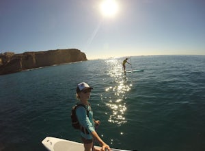
Stand Up Paddle Dana Point Harbor
5.0Whether I’m looking for a quick workout on the water, wanting to catch some waves, or simply explore the coastline, Dana Point is one of my favorite places to paddle. There is plenty of parking close to the beach, so you don’t have to walk far with your board. It’s also a great spot to launch as ...Read more -
Dana Point, California
Explore Tide Pools at Dana Point
5.0If you're ever driving on the 5 between San Diego and Los Angeles and traffic is miserable (always), consider making a stop at Dana Point to check out the tide pools. The best place is behind the Ocean Institute which offers plenty of free parking and a short walk behind the building will quickly...Read more -
Malibu, California
Jim Morrison Cave
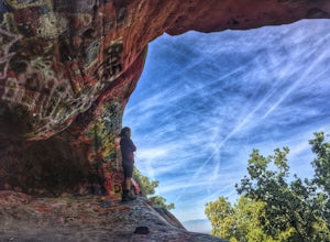
3.21.2 mi / 600 ft gainNote: Jim Morrison Cave is closed indefinitely. The bright colors of the Jim Morrison Cave are something to not be missed, and is appreciated by people of all ages. The cave also provides a beautiful outlook of the Malibu canyon, Malibu State Park and the Pacific Ocean. There is a ton of rock ho...Read more -
Agoura Hills, California
Ladyface Peak
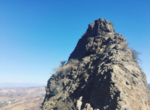
4.52.05 mi / 971 ft gainLadyface is a volcanic ridge that juts up over Agoura Hills. It is a short but steep hike up the ridgeline, and it offers amazing views to either side. Sections of the trail are steep and sandy so it can be challenging to maintain your footing. Trekking poles are optional and can help with the de...Read more -
Los Angeles County, California
Backbone Trail via Corral Canyon
5.02.08 mi / 89 ft gainThe backbone trail was a vision that started in the 1980’s. It is a trail that stretches 65 Miles starting in Will Rodgers State Historic Park and ending at Thornhill Broome Beach. It has many entrance and exit points but it is anchored in the middle by the Coral Canyon Trail Head. The full trail...Read more -
Apple Valley, California
Deep Creek Hot Springs
4.23.64 mi / 948 ft gainDeep Creek Hot Springs is nestled along the Mojave River at an elevation of 3,000 feet in the San Bernardino Mountains. This year-round mineral water retreat consists of three pools the size of large hot tubs, that range in temperature from around 96 degrees in the first pool to 102 in the third....Read more -
Castaic, California
Paddle Castaic Lake State Recreational Area
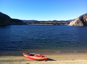
6 miCastaic Lake is a man made reservoir located 41 miles north of downtown Los Angeles, CA in the town of Castaic. Made up of two bodies of water, separated by a 425-foot dam, Upper and Lower Castaic Lakes have a combined 29 miles of shoreline forming the Castaic Lake State Recreational Area. The s...Read more -
San Bernardino County, California
Aztec Falls
3.31.23 mi / 16 ft gainFrom Lake Arrowhead, take the 173 to Hook Creek Road until you dead end onto Squint Ranch Road. Take a right at the first fork in the road, and park in the lot for Splinters Cabin. The dirt road can be a bit rocky and might not be the best for small cars. Once you're there, be sure to display you...Read more -
Canyon Lake, California
Kabian Memorial Park Loop
5.03.48 mi / 335 ft gainKabian Memorial Park Loop is a loop trail that takes you by a lake located near Quail Valley, California.Read more -
Oak Park, California
China Flat Trail to Simi Peak
5.05.03 mi / 1398 ft gainFrom the trailhead, simply follow the trail headed up the mountain. The first 2 miles is the hardest part of the hike, because of the steep ascent. Continue on until you hit a junction. Turn left, and you will eventually see an old rusty gate, and a sign which says "China Flat Trail". You will ...Read more -
Malibu, California
Escondido Falls Trail
4.33.74 mi / 699 ft gainThis 3.8 mile out-and-back hike takes place on a very easy to use trail. The first 0.75 miles on Winding Way are paved, leading you up to Escondido Canyon Trail. As you head up Winding Way, it’s safest to stay on the side of the road on the dirt. You’ll take this paved road up roughly 200 feet be...Read more -
Malibu, California
Hike the Backbone East from Latigo Canyon
3.8 mi / 780 ft gainStarting in a dusty, generally empty parking lot, at about 2,000' ASL, you'll go immediately due north, up a few more feet before you drop down into another canyon covered in live oaks (and poison oak), thistles, ferns, and wildflowers. There's only one trail. It's windy, it's not hilly, it just ...Read more

