Indio, California
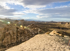
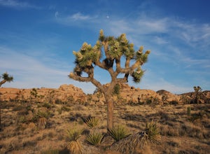
Indio, California, is a must-visit for top outdoor adventures. The best trails and outdoor activities are plentiful here, with the Coachella Valley Hiking Trail being a standout. This moderate difficulty trail spans over 20 miles and offers scenic views of the surrounding desert landscapes. Along the trail, hikers can observe unique rock formations and the Whitewater River. Another popular attraction is Lake Cahuilla, a man-made reservoir perfect for fishing and picnicking. Also worth a visit is Joshua Tree National Park, located near Indio, where you can explore the stunning desert wilderness and its diverse fauna and flora. Whether you're a hiker, angler, or simply enjoy scenic landscapes, Indio has something for you.
Top Spots in and near Indio
-
Riverside County, California
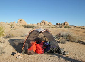
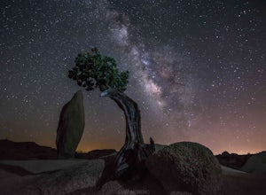
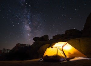
Backcountry Camp in Joshua Tree
5.02 miBackcountry camping can be done at various locations throughout the park (13 different locations). Upon arrival to the park, you will be given a map and can backcountry camp from any of the locations marked with a "B".At these locations you will find a backcountry registration board. It's extrem...Read more -
Palm Springs, California
South Lykken Trail to Simonetta Kennett Viewpoint
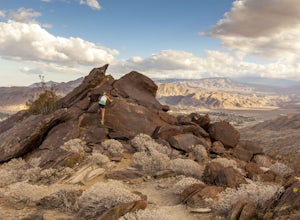
3.66.45 mi / 1654 ft gainThe South Lykken Trail is the south half of the 9.5-mile Carl Lykken Trail, which weaves along a series of mountain ridges above downtown Palm Springs. Dogs are not permitted on this trail. This section of the trail runs 3.2 miles one-way. You will gain just over 1600ft of elevation at the high...Read more -
Riverside County, California
Hidden Valley Nature Trail
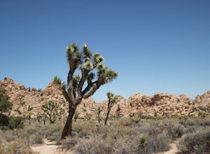
4.41.03 mi / 164 ft gainTurn off of Park Blvd near Intersection Rock (there will be signs for the turn) and follow the paved road for about a minute. There is a large parking lot with many picnic tables. The trail begins with a slight uphill of around 100 ft and continues through a opening between two large rocks. Af...Read more -
Twentynine Palms, California
Climb The Spire in Joshua Tree National Park
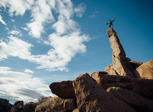
0.75 miPark at the Hidden Valley Nature Trailhead. Instead of going into Hidden Valley, follow the obvious climber's trails to the Southwest for about 3/4 mile keeping the rocks of Hidden Valley on your right. The trail wraps around the outside edge of Hidden Valley, turning Northwest. After about 20 mi...Read more -
Twentynine Palms, California
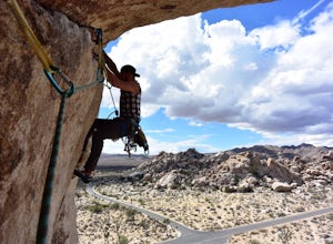
Rock Climb Locomotion in Joshua Tree National Park
5.0Locomotion is a great spot to set up for the day and enjoy the world class climbing that Joshua Tree has to offer. Camp at the nearby and coveted Hidden Valley Campground and you'll be within walking distance to Locomotion and a dozen other quality climbing spots. Joshua Tree really is a camping/...Read more -
Palm Springs, California
Museum Trail
1.52 mi / 860 ft gainThe Museum Trail is a very steep climb with a 1,000 feet elevation gain in just one mile but has some great views of downtown Palm Springs. The hike starts behind the Palm Springs Art Museum. This trail can also access the Cactus to Clouds Trail that goes all the way to the top of Mt. San Jacinto...Read more -
Palm Springs, California
Skyline Trail to Aerial Tramway Top Station
5.09.41 mi / 8238 ft gainSkyline Trail to Aerial Tramway Top Station is a point-to-point trail where you may see beautiful wildflowers located near Palm Springs, California.Read more -
Twentynine Palms, California
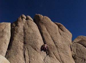
Climb at Intersection Rock in Joshua Tree
Intersection Rock is located in the Hidden Valley Campground with lots of parking!Overhang bypass route5.72 PitchesStandard Trad RackIntersection Rock has many classic routes- I found right ski track and overhang bypass to be 2 of my favorite routes in j tree.Start left of the flake in a crack, t...Read more -
Riverside County, California
Hike the Covington Crest Trail
4.2 mi / 200 ft gainAccessing Covington Flats in Joshua Tree National Park requires a high ground-clearance overland vehicle. In the summer months a standard car might make it to the parking lot after the 7.5 mile off-road drive, but should always be prepared for soft sand. Bring spare water and emergency tools inca...Read more -
Riverside County, California
Camp at Joshua Tree's Jumbo Rocks
4.8Set your tent up next to a wall of tall boulders. This campground can offer a little shade, which is key especially during the warmer months. At the campground, there are 124 first-come, first-serve sites for $10 per night. Each campsite comes available with a picnic table and fire ring. The camp...Read more -
Twentynine Palms, California
Camp at Hidden Valley in Joshua Tree
4.8Joshua Tree National Park is known for its world class rock climbing, out of this world landscapes, and some of the darkest skies around. Having a base camp inside of the park is incredibly important as it's quite massive and I found that Hidden Valley Campground is strategically placed smack dab...Read more -
Twentynine Palms, California
Skull Rock Trail at Joshua Tree National Park
5.01.7 mi / 131 ft gainYou can park at the Jumbo Rocks Campground to start this quick hike. There are two parking locations for this campground and it will be easiest if you use the first one you see, rather than going farther off the road and right next to the campsites. To start the hike, start going north and immedi...Read more -
Palm Springs, California
North Lykken Trail from W. Crescent Drive
1.67 mi / 906 ft gainNorth Lykken Trail from W. Crescent Drive is an out-and-back trail that takes you past scenic surroundings located near Palm Springs, California.Read more -
Twentynine Palms, California
Watch the Sunset from Echo Rock
5.00.5 mi / 200 ft gainPark your car at the Echo Rock Parking Area. The trail starts next to the outhouse and heads north. As you walk through the sand, there is a large rock pile to your right, the top of that is your destination. Continue walking until you've reached the far north end of the rock formation and the...Read more -
Riverside County, California
Wall Street Mill
4.02.43 mi / 131 ft gainHike along the easy Wall Street Mill Trail for about one mile and you will reach the mill - if you are into night photography, this is an amazing subject that will bring you back again and again, always capturing something different. Explore around off trail - there are tons of boulders to play a...Read more -
Riverside County, California
Hike the Barker Dam
1.28 mi / 85 ft gainThe Barker Damn trail is a 1.5 mile loop trail across flat terrain which makes it great for the whole family. The hike starts out from the Barker Dam parking lot which is shared with the Wall Street Mill trailhead. You can find the Barker Dam trailhead just to the left of the bathrooms. After ...Read more

