Idyllwild-Pine Cove, California
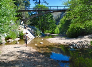
Idyllwild-Pine Cove, California, is a must-visit for outdoor adventures. Among the top attractions is the Deer Springs Trail, a scenic 11-mile route with a moderate difficulty level. This trail takes you through dense forests of pine and cedar, past the shimmering Suicide Rock, and culminates at the San Jacinto Peak, the highest point in the San Jacinto range. The panoramic views from the peak are simply breathtaking. Nearby, Lake Hemet offers opportunities for fishing, boating, and camping. If rock climbing is your thing, Tahquitz Rock, a famous rock formation, is just a short distance away. The best Trails and Outdoor Activities in Idyllwild-Pine Cove are perfect for those seeking a blend of relaxation and adventure.
Top Spots in and near Idyllwild-Pine Cove
-
Lake Elsinore, California
Sitton Peak
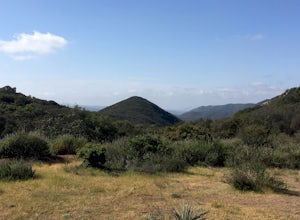
9.36 mi / 2011 ft gainIt's amazing what you can find in your own backyard if you really do you research. In Orange County there are so many awesome hiking options that are often overlooked. The Bear Canyon to Sitton Peak Trail in the San Mateo Wilderness is one of those. Sitton tops out at 3,273 feet and it's a 5 mil...Read more -
Riverside County, California
Night Hike Painted Canyon
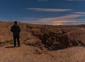
Take Box Canyon Rd to Painted Canyon Road. Painted Canyon Road is a dirt road, so exercise caution. The road dead ends at the Painted Canyon Trailhead parking lot.Once on the trail, look out for markers and arrow rock piles pointing to the slot canyons and other trails. Some climbing is necessary...Read more -
Mecca, California
Big Painted Canyon
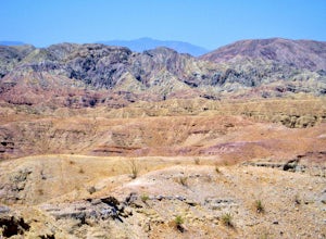
3.61 mi / 541 ft gainBig Painted Canyon is an out-and-back trail that takes you past scenic surroundings located near Mecca, California.Read more -
Mecca, California
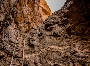
Hike the Ladder Canyon/Painted Canyon Loop
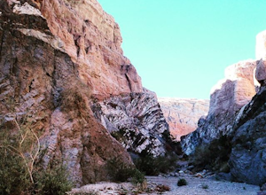
5.04 mi / 2215 ft gainFrom Interstate 10, take State Highway 195 (Box Canyon Road) to Painted Canyon Road. This well-maintained, dirt road goes for about 4 miles and leads into the sandy wash which runs the length of the canyon for approximately 1.7 miles. There are a few narrow side canyons which can be explored on f...Read more -
Mecca, California
Hike Ladder Canyon in Mecca Hills
5.04.5 mi / 990 ft gainFrom Box Canyon Road turn on to Painted Canyon Road a dirt road that will lead you to the trailhead. From the trailhead start into the canyon. After a few hundred feet there will be rocks forming an arrow pointing you towards a ladder. Go up the ladder and follow the trail from here. There will b...Read more -
Riverside, California
Hike Mt. Rubidoux
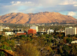
4.32.7 mi / 500 ft gainFeaturing over 161 acres and over 3.5 miles of combined paved and dirt trails, Mount Rubidoux Park in Riverside, CA is a beautiful natural environment and adventure location. Although some say this is just a "hill", this Inland Empire gem offers a quick escape from the pace of city life. Just m...Read more -
Riverside County, California
Backcountry Camp in Joshua Tree
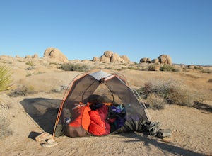
5.02 miBackcountry camping can be done at various locations throughout the park (13 different locations). Upon arrival to the park, you will be given a map and can backcountry camp from any of the locations marked with a "B".At these locations you will find a backcountry registration board. It's extrem...Read more -
Lake Elsinore, California
Ride the San Juan Trail
4.511 mi / 3400 ft gainThe San Juan Trail is located off the Ortega Highway (Hwy 74) in Southern Orange County. It is done frequently as a long, 11 mile climb that is rewarded by an almost continuous descent of 3400ft. The out-and-back trail head is back Hot Spring Canyon Rd from the San Juan Fire Station. It can also ...Read more -
Santa Ysabel, California
Hiking in Santa Ysabel
3.0Starting at the trailhead on Hwy 79, enter through the gate and make sure to close it behind you - the preserve is open range area for herds of cows, make sure not to disturb them when hiking. From the gate you'll see the sign with a detailed map of trails that are available for hiking. The trail...Read more -
Twentynine Palms, California
Arch Rock Nature Trail
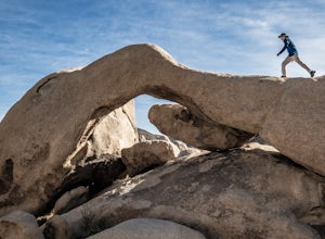
4.31.24 mi / 92 ft gainThis is a rock formation very popular with young crowds at Joshua Tree. The views from this hike are spectacular. If you hike this trail at sunset, the gorgeous colors of the ski are reflected onto the rocks. There is a plaque along the trail detailing rock formations and facts about the parks ...Read more -
Twentynine Palms, California
Hike the Fortynine Palms Oasis Trail
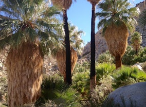
5.03.08 mi / 653 ft gainJust off highway 62 lies an easy 1/2 day hike with incredible views of the Morongo Valley. Though technically part of the park, the out-of-the-way-ness of the hike means you don't need to pay the $20 National Park fee. Parking is ample, and there's a pit toilet at the trailhead (beware of bees an...Read more -
Riverside County, California
Camp at Joshua Tree's White Tank Campground
5.0White Tank Campground is in the perfect spot to get a taste of all that Joshua Tree has to offer. As a central location to nearby hiking and climbing, it is easy to access the various parts of the park. Removed from the border of the park, White Tank doesn't attract as many visitors as the more p...Read more -
Riverside County, California
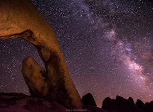
Night Shoot at Arch Rock
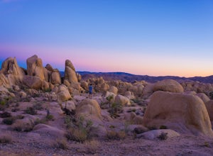
4.7If you're setting up camp, be sure to check out White Tank Campground, which is home to one of the most epic rock formations. The Arch is located here. It's only about 1/2 round trip of walking to this spot. Geology Tour Road offers some flat wide open views of Joshua Trees in all directions. If ...Read more -
San Bernardino County, California
Aztec Falls
3.31.23 mi / 16 ft gainFrom Lake Arrowhead, take the 173 to Hook Creek Road until you dead end onto Squint Ranch Road. Take a right at the first fork in the road, and park in the lot for Splinters Cabin. The dirt road can be a bit rocky and might not be the best for small cars. Once you're there, be sure to display you...Read more -
Ramona, California
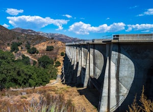
Explore the Sutherland Dam
2.01 miOnce your on Sutherland Dam Rd, follow it until your right next to the dam. Park on the side of the road where you see a small turn-out. Walk down to the side of the dam and drop down onto the concrete flooring of the dam. Walk on-top where allowed, and check out the views of the lake and the mo...Read more -
San Diego County, California
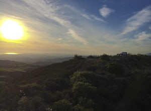
Camp On the Abandoned Santa Margarita Lookout Helipad
4.3Starting in Murrieta, CA you don't have to venture far to enjoy a beautiful view and less light polluted skies.From Murrieta on the I-15 freeway you're going to want to take the Clinton Kieth Road exit and head west. If you're low on gas make sure to fill up at the 7 Eleven on the left corner. Th...Read more

