Hopland, California
Looking for the best photography in Hopland? We've got you covered with the top trails, trips, hiking, backpacking, camping and more around Hopland. The detailed guides, photos, and reviews are all submitted by the Outbound community.
Top Photography Spots in and near Hopland
-
Occidental, California
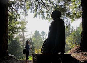
LandPaths Grove of Old Trees
5.00.7 mi / 92 ft gainThe Grove of Old trees is a privately-owned preserve in Western Sonoma County that is open to the public year round. It is not large, only about 33 acres, but it makes a wonderful spot to go on a walk and to soak in the beauty of the redwoods. To get there from downtown Occidental, drive West up...Read more -
Mendocino, California
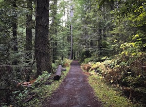
Fern Canyon Scenic Trail
5.07.71 mi / 787 ft gainThe Fern Canyon Trail system is the main hiking vein of Van Damme State Park. This particular hike is on a mostly flat, wide trail through dense, green forest of California Redwoods, Cypress, Pines, and giant ferns. The trail is paved but typically carpeted in soft pine needles. Come in the rainy...Read more -
Mendocino, California
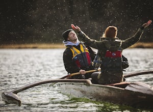
Paddle Redwood Outrigger Canoes up Big River
Big River is a 40 mile or so river in the heart of Mendocino and its first 8 miles form the largest undeveloped estuary remaining in California. It is home to some amazing wildlife from seals to jellyfish to the endangered California Coho Salmon, Chinook Salmon, and Steelhead Trout. If you are lu...Read more -
Mendocino, California
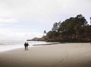
Explore Big River Beach
Make your way around the back of the Chevron on Main st. in town and just keep following the stairs down to the little trail that leads to the beach. The beach is beautiful with soft sand. Dogs are allowed but please note they are supposed to be on leash. Obviously our group wasn't too upset by ...Read more -
Mendocino, California
Mendocino Cliffs Trail
5.01.37 mi / 108 ft gainThe town of Mendocino is as charming and quaint as one can find. It is no wonder why it was pegged as the perfect location spot to film the series Murder She Wrote. While the series heroine Jessica Fletcher's home can still be visited, it is the bay itself that will draw your attention. Startin...Read more -
Santa Rosa, California
Hiking, Swimming, and Fishing in Wine Country
5.0Annadel State Park is located in the historic Valley of the Moon, just 60 miles north of San Francisco, in Sonoma. This popular 5,200 acre park features a wonderful variety of options to explore, boasting views of the Sonoma Valley, rolling meadows of wildflowers, and direct access to 26 acre Lak...Read more -
Santa Rosa, California
Gunsight Rock via Hood Mountain Trail
5.07.91 mi / 2372 ft gainHike to Gunsight Rock through Hood Mountain Regional Park to get a view overlooking Sonoma and Napa Valley. In order to get to the trailhead take Highway 12 to Los Alamos Rd, the road will then turn into Timberline Dr, this will take you to the trailhead. There is a parking fee of $8. From the p...Read more -
Mendocino, California
Camp at Russian Gulch State Park
Just two miles north of Mendocino, you'll find this beautiful, well-maintained park that features a little bit of everything. The campsite is situated between a rugged beach and a stunning 36-ft waterfall, giving you plenty of easy and fun options.This park is most well known for the heavily fore...Read more -
Bodega Bay, California
Bodega Head Nature Trail
4.71.67 mi / 121 ft gainSitting west of the San Andrea fault, the Bodega Head is a massive chunk of granite from the Salinian Block, a geological terrane that contains Point Reyes and the Farallon Islands, and shares its origins with the Sierra Nevada mountains, the Head itself having been carried hundreds of miles to t...Read more -
Napa, California
Hike To Zim Zim Falls
5.08 mi / 500 ft gainThis 8 mile (out and back) hike begins at the trail head off of Knoxville Road, just before mile marker 24. The first 3 miles are relatively flat, though you will cross the creek about 9 times. Right before you reach the waterfall, you will come to a fork in the trail marked by a pink boulder. St...Read more -
Kenwood, California
Pony Gate-Canyon Loop
4.02.17 mi / 568 ft gainThe Pony Gate-Canyon Loop within Sugarloaf Ridge State Park is a new favorite of mine on my list of family and kid-friendly hikes. Our little girls did great with this hike and loved it. If you can get moving early in the day and begin your hike around breakfast time, you might find there are few...Read more

