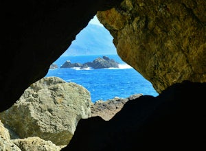
Hollister, California
Looking for the best hiking in Hollister? We've got you covered with the top trails, trips, hiking, backpacking, camping and more around Hollister. The detailed guides, photos, and reviews are all submitted by the Outbound community.
Top Hiking Spots in and near Hollister
-
Big Sur, California
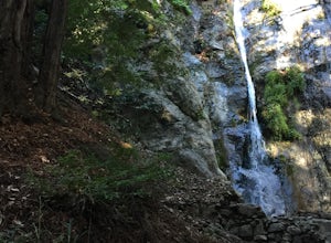
Hike to Pfeiffer Falls
4.02 miThis trail is a staff favorite at Big Sur. This family-friendly waterfall trail provides only a moderate challenge for young children and older family members. There are two starting points for this hike depending on where you stashed the car. If you’re parked near the gift shop, the head up the ...Read more -
Big Sur, California
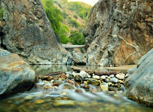
Explore the Big Sur River Gorge
4.71 miIf you are in the Big Sur area during the summer, exploring the Big Sur River Gorge is a must! The gorge is located in Pfeiffer Big Sur State Park, and your closest parking will be day use parking lot 3. The trailhead to the gorge can be found at the northeast end of Pfeiffer Big Sur State Park C...Read more -
Big Sur, California
Sykes Hot Springs via Pine Ridge Trail
4.218.96 mi / 7339 ft gainThe trek to Sykes Hot Springs is about 10-miles one way along the Pine Ridge Trail. This is a great backpacking trip, but can be done as an out-and-back hike from the campgrounds at Pfeiffer Big Sur State Park if you're really moving. The trail is moderately challenging, you'll cross the river t...Read more -
Big Sur, California
Pine Ridge, North Coast Ridge Loop
2.033.45 mi / 11388 ft gainIf you are looking to do some backpacking in the Big Sur area, you've come to the right place. This post shares a suggested 4-day backpacking loop in the Ventana Wilderness that will offer a bit of everything - challenging hiking with a healthy does of elevation, beautiful primitive camping amon...Read more -
Saratoga, California
Hike the Seven Springs Trail Loop
2.8 mi / 500 ft gainThe Seven Springs loop is only one great option of several in the preserve. Starting from the Prospect Rd parking lot the loop is 2.8 miles of rolling hills in and out of the shade. Most of the trail is at least 2 person width so easy to walk with a friend or furry companion. There have been larg...Read more -
Big Sur, California
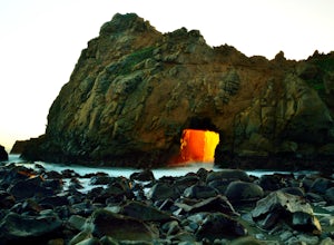
Pfeiffer Beach
4.00.81 mi / 75 ft gainPfeiffer Beach located in Big Sur may truly be one of the most awesome beaches in California...if you can find it. I lived within 40 miles of this beach for over 20 years and just discovered it recently. This beach is located on an unmarked road called Sycamore Canyon Road. On Highway 1, this roa...Read more -
Big Sur, California
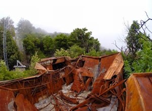
Hike to Big Sur's Tin House
4.0When it comes to the beauty of Big Sur, a half day on Tanbark Trail to the Tin House captures it all. From the redwood forest along Partinton Creek, to the abandoned Tin House, to Highway 1 and coastal views, you can't ask for much more.The hike starts on the east side of Highway 1 - the northern...Read more -
Big Sur, California
Partington Cove Trail
5.01.09 mi / 262 ft gainPartington Cove Trail is an out-and-back trail that takes you by a waterfall located near Big Sur, California.Read more -
Big Sur, California
Explore The Hidden Rock Caves At Partington Cove
5.0Partington Cove which is located in Julia Pfeiffer Burns State Park, is one of Big Sur's hidden gems. It's a very short hike with enough views to show why Big Sur earned the nickname " Little Yosemite." The whole hike can easily be completed in less than an hour, although there are definitely eno...Read more

