Grizzly Flats, California
Looking for the best photography in Grizzly Flats? We've got you covered with the top trails, trips, hiking, backpacking, camping and more around Grizzly Flats. The detailed guides, photos, and reviews are all submitted by the Outbound community.
Top Photography Spots in and near Grizzly Flats
-
South Lake Tahoe, California
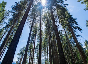
Hike the Fallen Leaf Lake Trail
5.08.1 mi / 859 ft gainThe Fallen Leaf Lake Trail is located in South Lake Tahoe, California. It is important to note that there is no trail on the east side of the lake. The trail turns into a paved road when you reach the marina after passing the campground. Additionally, lots of small trails jut out from the main tr...Read more -
South Lake Tahoe, California
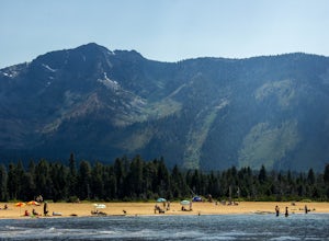
Baldwin Beach
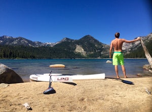
4.5Baldwin Beach offers a half mile of views of Lake Tahoe and the Sierra Nevada mountains. People come to this beach to relax and picnic. This is also a popular launch spot for those kayaking or stand up paddling to Emerald Bay. This beach is on national forest land and has a parking fee of $8.00...Read more -
South Lake Tahoe, California
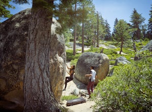
Boulder at D.L. Bliss State Park
This place is bouldering heaven. Short approach to the first boulders, challenging routes for every level, good landings, and set in a beautiful area. It's like Bishop, but without the long drive.Technically you can come anytime in the season, but it is highly suggested to get a morning session i...Read more -
South Lake Tahoe, California
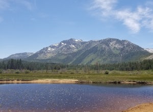
Chillin at Lake Tahoe's Kiva Beach
4.7Kiva is a secluded sandy crescent beach flanked by a beautiful meadow and mountain backdrop. This beach is rarely crowded and has free parking unlike other beaches in Tahoe. Kiva is a great place to bring dogs and is actually well known as a dog beach. Kiva is also accessible from the bike trail...Read more -
South Lake Tahoe, California
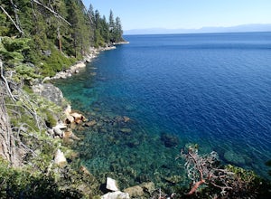
Paddle from Kiva Beach to Emerald Bay
4.0Grab your paddleboard or rent one from Baldwin Beach, and head out along the southwest shores of Lake Tahoe towards Emerald Bay. Enjoy the pristine blue water and keep your head up for the occasional osprey or bald eagle.Once you make it to the bay, there are plenty of places to go. You can relax...Read more -
Arnold, California
Hike To Bull Run Lake
4.3The hike to Bull Run Lake is about 7.8 miles, roundtrip, and begins at the Stanislaus Meadows Trailhead, located about 10 miles West of Ebbetts Pass. There is plenty of parking near the trailhead, off of the South side of CA 4. The trailhead GPS coordinates are: N38 30.376' / W119 56/617'Once you...Read more -
Auburn, California
Rock Climb at the Quarry
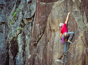
5.02.6 mi / 800 ft gainMany thanks to the Climbing Resource Advocates for Greater Sacramento (CRAGS) and the Access Fund for their hard work in re-opening this location to make it climbing-legal. Where to Park:Put in "Parking lot for the Quarry Trail, California 193, Auburn, CA 95603"This is the designated parking lot ...Read more -
Auburn, California
Hike the Quarry Trail in the Auburn SRA
4.011 miParking in the Auburn State Recreation Area parking lot has a cost of $10.00. Free parking is allowed on the right side of the road located on the right after driving over the bridge. From here the Quarry Trail parking lot and Trail head are a short walking distance ahead on the left side of th...Read more -
Auburn, California
Hike to the North Fork Dam of Lake Clementine
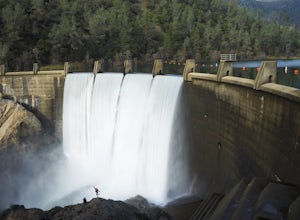
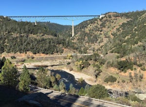
5.04 miLocated only roughly 40 minutes from Sacramento. This trail will allow you to view and walk under the 5th largest bridge in the US as well as enjoy the waterfall spectacle of a top releasing Dam. Once reaching Old Foresthill Road from the town of Auburn, drive over the smaller bridge spanning the...Read more -
Auburn, California
Hike Training Hill
4.54.5 mi / 1126 ft gainTraining Hill is a 4.5 mile loop trail that features beautiful meadows and wildflowers, with limited views to Folsom Lake and the Auburn canyon. The trail to Training Hill branches off from the Calcutta Falls trail right before the first cement bridge over the American River. Training Hill is r...Read more -
South Lake Tahoe, California
Hike to Freel Peak
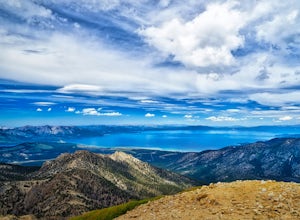
5.07.3 mi / 2474 ft gainMt. Tallac may be one of the Lake Tahoe Basin's most famous peaks to hike because of its fantastic views of Lake Tahoe, but my personal favorite view in Tahoe is from the top of Freel Peak or Jobs Sister. Freel Peak is the tallest peak in the Lake Tahoe Basin at 10,881 feet.From the top of Freel...Read more -
Tahoe City, California
Hike the Ellis Peak Trail
5.06.3 mi / 1660 ft gainThe Ellis Peak Trail is close to North Lake Tahoe. The trail features scenic wildflowers in the spring and summer. Dogs are allowed on the trail but must be kept on leash. Directions from Truckee: Take Highway 80 south and drive to Tahoe City - continue south on Highway 89 from Tahoe City for 4....Read more -
South Lake Tahoe, California
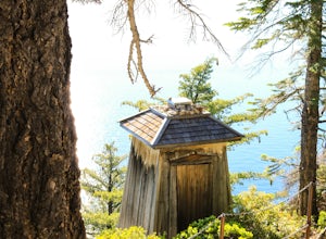
Hike the Lighthouse Trail at D.L. Bliss State Park
4.82.3 mi / 505 ft gainThe Lighthouse Trail is a 2.3 mile loop located in D.L. Bliss State Park on the lower west side of world famous Lake Tahoe. To get the trail, enter the park through the main entrance ($10 parking fee), the follow the road until you see two parking areas of the left side with about 6 or 7 spots e...Read more -
South Lake Tahoe, California
Hike the Rubicon Trail
5.07 mi / 400 ft gainThe Rubicon Trail is a through hike connecting D.L. Bliss State Park and Emerald Bay State Park. You can start at either point. I opted to start at D.L. Bliss State Park to avoid the long walk uphill to catch the Nifty Fifty shuttle. Also, there is more available parking at Bliss. Park your c...Read more -
Arnold, California
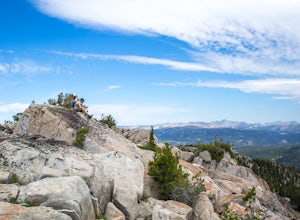
Climb Lookout Peak in the Carson-Iceberg Wilderness
5.04 mi / 1900 ft gainLookout Peak in the Carson-Iceberg Wilderness off Highway 4 provides solitude and wonderful views of the surrounding Sierra Nevada including the Mokelumnee and Emigrant Wildernesses. Even on summer weekends you'll likely have the peak and surrounding area all to yourself.Lookout Peak can be done ...Read more -
Arnold, California
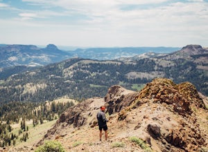
Climb Peep Sight Peak in the Carson-Iceberg Wilderness
7 mi / 1800 ft gainPeep Sight Peak in the Carson-Iceberg Wilderness off Highway 4 provides solitude and wonderful views of the surrounding Sierra Nevada including the Mokelumnee and Emigrant Wildernesses. Even on summer weekends you'll likely have the peak and surrounding area all to yourself. Peep Sight Peak can b...Read more

