Top Spots in and near Golden Gate National Recreation Area
-
San Francisco, California
5.0
2.25 mi
/ 315 ft gain
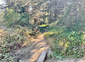
Beyond McLaren's family friendly playgrounds and picnic areas, there are miles of trail to explore. The Philosopher's trail is a well-marked loop (notice the stone markings along the trail with arrows etched into them). There are several parking lots available where you can jump onto the loop. No...
Read more
-
San Francisco, California
4.0
1.24 mi
/ 184 ft gain
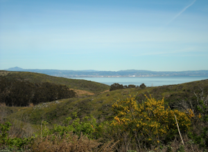
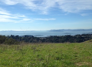
Bayview Hill Loop is a loop trail that starts with a paved uphill climb and views of the bay facing toward the East Bay located in the Bayview neighborhood of San Francisco, California.
Read more
-
Stinson Beach, California
4.2
2.81 mi
/ 1184 ft gain
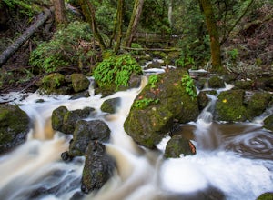
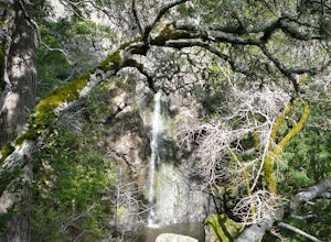
The Bay Area is home to many beautiful waterfalls, but Cataract Falls located about an hour north of San Francisco is one of the most stunning. Be sure to head out on this hike after a recent rain.
Cataract Falls is a picturesque waterfall located in the Mt. Tamalpais Watershed near Stinson Be...
Read more
-
San Rafael, California
4.0
4.37 mi
/ 988 ft gain
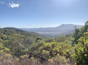
The Gold Hill Grade to Nike Missile Site trail in San Rafael, California, is a moderately challenging hike. The trail spans approximately 4.37 miles round trip, with an elevation gain of about 988 feet. The path is well-maintained and marked, making it suitable for hikers of varying skill levels....
Read more
-
Daly City, California
4.0
3.63 mi
/ 781 ft gain
San Bruno Mountain is a fun, mellow hike that climbs easily on a well-graded path to the ridge line, and then drops back to the trailhead. Along the way, the trail runs along a creek, ascends through chaparral, and provides excellent views of downtown San Francisco, the East Bay hills, and the Sa...
Read more
-
Fairfax, California
4.0
3.75 mi
/ 863 ft gain
Are you tired of crowds on your hikes? First, shame on you for getting up so late and moving so slowly. Did you really need Philz before you got on the trail?
Ok, now that you’ve been thoroughly chastised, let’s start planning a hike to the less-frequented Carson Falls. Like any of the falls in ...
Read more
-
San Francisco, California
5.0
16.71 mi
/ 1975 ft gain
The San Francisco Crosstown Trail runs point-to-point from Candlestick Point to Land End.
The SF Crosstown Trail officially opened in 2014. It connects park trails to neighborhoods and communities. In it's in entirety it's almost 17 miles long with 5 Sections available for those looking to bre...
Read more
-
Daly City, California
4.0
1.95 mi
/ 322 ft gain
Mussel rock, a three-story, 50 million year old rock that has been carried some 500 miles northwest from Southern California, is where the San Andreas fault meets the Pacific Ocean.
It's also an excellent spot to drink some wine and catch a sunset.
From San Francisco, take Highway 1 south towar...
Read more
-
San Rafael, California
4.0
9.23 mi
/ 1716 ft gain
Park at the lot in the China Camp State Park. Hop onto the Bay View trail to gain to begin the loop trail. Switchbacks take you up to a long and easy path passing through shaded and open areas. Enjoy the grasslands speckled with oak trees and coyote brush. You can see the San Rafael bay and bridg...
Read more
-
San Rafael, California
5.0
5.85 mi
/ 1089 ft gain
This San Rafael neighborhood trail is quite popular, but there is plenty of room for everyone and the parking is easy. After you park at the trailhead, you walk (or bike) up a relatively short and steep path that takes you to the beginning of the trail.
This hike takes you along a scenic ridge ...
Read more
-
Richmond, California
4.0
10.5 mi
/ 2300 ft gain
Starting off on Wildcat Creek Trail, the trail is wide and rolling. After about 4 miles make a left on Jewel Trail, then onto Sylvan Trail. Another left puts you on Wildcat Peak Trail. Be sure to check your map, as many trails intersect here. Wildcat Peak Trail runs into Nimitz Way, at which poin...
Read more
-
Berkeley, California
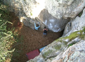
Indian Rock is one of the most popular outdoor bouldering spots in Berkeley. With over 80 problems, there's plenty of routes for beginners to the most advanced climbers. After parking in the surrounding neighborhood, it's an easy walk into the park.
Aside from enjoying the challenge of new routes...
Read more
-
Richmond, California
Point Pinole Regional Shoreline is a 2,315-acre parkland that juts out into the San Pablo Bay. Only a brief car ride from San Francisco, this is a great spot for a Sunday stroll, picnic or simply to find a quiet space.There are several short trails to choose from that wind through eucalyptus grov...
Read more
-
Berkeley, California
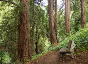
Park along the street in front of Codornices Park in Berkeley. Follow the stream to the left of the playground. Take the path up the hill to the right (don't head over the bridge on the left). Keep walking up multiple concrete stairs. After the first flight of stairs you'll see a path on the left...
Read more
-
Berkeley, California
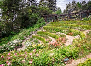
I'm always surprised at how few people know of this beautiful garden. I'm often alone when I visit, which allows for perfect serenity. Visit in early spring for maximum blooms.
Park on Euclid Ave, which is where you'll find the entrance to the amphitheater (you can't miss the giant sign). Spend ...
Read more
-
Pacifica, California
5.0
2.51 mi
/ 558 ft gain
Found this hike with some friends after spending some time googling in my car when we were in the area looking for a quick hike with a view!
Dog friendly Free parking (but quite limited) Ocean views Known to have gorgeous wildflower blooms (we were not there during this)Porta-potty type toilet...
Read more

