Glendale, California
Looking for the best running in Glendale? We've got you covered with the top trails, trips, hiking, backpacking, camping and more around Glendale. The detailed guides, photos, and reviews are all submitted by the Outbound community.
Top Running Spots in and near Glendale
-
Los Angeles, California
Piano Mural Staircase aka “Murray Staircase”
5.00.08 mi / 69 ft gainThe “Piano Stairs” is a stair mural in Silver Lake neighborhood section of LA. Not to be confused with the “Music Box” staircase that is close by. These 90 steps were painted to look like the piano keyboard by the artist Carrey. Great for a cardio workout and not as creepy as some of the stairs h...Read more -
Los Angeles, California
Descanso Steps
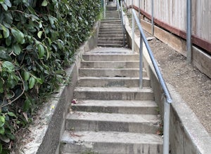
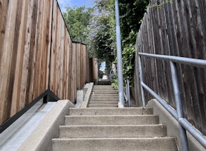
4.00.1 mi / 20 ft gainThe steps are a series of stairways you will find throughout Silver Lake and neighboring areas. They facilitated people from the neighborhood in getting to the “red” streetcars, that used to run throughout the city. Cool relics of a mostly-forgotten past. These particular steps take you down from...Read more -
Los Angeles, California
Elysian Park
4.01.88 mi / 282 ft gainThe trail at Elysian Park in Los Angeles, California, is a moderate difficulty hike that spans approximately 1.88 miles. The trail is well-marked and offers a variety of terrain, including dirt paths and paved roads. The trail is known for its panoramic views of the city, including the iconic Dod...Read more -
Los Angeles, California
Music Box Steps
5.00.08 mi / 20 ft gainClimb a historical landmark in LA. This is where the famous, Academy Award winning short, Laurel and Hardy made called "The Music Box”. Filmed back in the 1930's the story is about two movers trying to deliver a piano, up these steps. There is a plaque is dedicated at the bottom to this film. It’...Read more -
Los Angeles, California
Aileen Getty Ridge Trail
5.03.55 mi / 1194 ft gainThe Aileen Getty Ridge Trail is a singletrack trail that runs between Mt. Lee and Burbank Peak (the location of the Wisdom Tree). Though there are many options to access this trail, the most direct route is from the west via the Wonder View Trailhead. Start by parking on Lake Hollywood Drive near...Read more -
Los Angeles, California
Lake Hollywood Trail
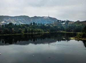
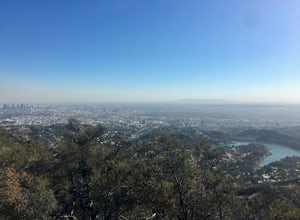
4.73.35 mi / 249 ft gainThe Lake Hollywood Trail features beautiful wildflowers in the spring and is wheelchair accessible. A majority of the trail is paved, but approximately .6 miles is on dirt. Some of the trail is shaded, but bring sun protection regardless - especially in the summer. Dogs are not allowed on this tr...Read more -
Los Angeles, California
Cahuenga Peak Loop Trail
3.88 mi / 1237 ft gainThe Cahuenga Peak Loop is perfect for trail runners and hikers. The trailhead is in Hollywood Hills - park off to the side on a street. This trail features beautiful wildflowers in the spring. Dogs are allowed on the trail if kept on leash. The trail can be dusty and dirty, so watch your step. Ke...Read more -
Los Angeles, California
Echo Park Lake
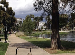
3.00.98 mi / 0 ft gainEcho Park Lake in Los Angeles has a loop that is about 1 mile around. It’s a pretty busy park, that has ducks and geese everywhere. Beautiful lotus blossoms and iris flowers in the lake. Generally flat and one tiny incline that can easily be avoided. You can also rent swan paddleboats that light ...Read more -
Los Angeles, California
Cahuenga Peak via Burbank Peak Trail
2.23 mi / 719 ft gainCahuenga Peak via Burbank Peak Trail is an out-and-back trail that takes you past scenic surroundings located near Los Angeles, California.Read more -
Pasadena, California
Lower Arroyo Seco Loop
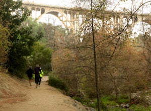
4.02.88 mi / 230 ft gainNestled next to the CA-134, this trail presents a relaxing atmosphere while only a 30 minute drive from Downtown Los Angeles and a 5 minute drive from Old Town Pasadena. From bird-watching to archery, this trail provides a peaceful atmosphere with no lapse in beauty. The trail which is around 1....Read more -
Pasadena, California
Arroyo Terrace Trail
5.01.54 mi / 194 ft gainArroyo Terrace Trail is a loop trail that takes you by a river located near Pasadena, California.Read more -
Pasadena, California
Central Arroyo Seco Community Recreation Loop
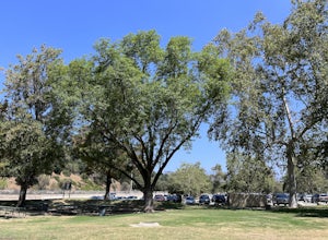
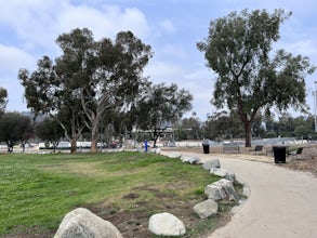
5.00.66 mi / 36 ft gainBeautiful views of the Rose Bowl and surrounding San Gabriel Mountains. A protected .75 mile loop, that offers an easy path, to stroll along. You’ll find convenient water filling stations, clean bathrooms, and a fitness area, along the path. Easy parking all around.Read more -
Burbank, California
Old Youth Camp Loop
2.59 mi / 732 ft gainThe Old Youth Camp Loop is a 2.6-mile loop with over 700 feet of elevation gain that can be ran, hiked, or even mountain biked if you prefer. While not completely empty the area receives very little visitors and is a great place to enjoy a little more solitude than near by hiking locations. The l...Read more -
Los Angeles, California
Runyon Canyon Loop
3.22.67 mi / 728 ft gainLocated in the Hollywood Hills, Runyon is an iconic workout run/ hike that can give you great views all the way to the ocean. There are a few different loop trails/ hikes you can take ranging from ~1.5mi to 3.25mi all with a decent amount of elevation gain. Also, remember this is Hollywood, so yo...Read more -
Los Angeles, California
Verdugo Peak via Hostetter Fire Road
5.07.39 mi / 1627 ft gainVerdugo Peak, at 3000 feet, is accessible from multiple directions and trails along the Verdugo Range. The most direct route to the top is Hostetter Fire Road, a 3.6-mile hard-packed dirt trail that climbs 1600 feet to the 3,126-foot summit. The hike begins at the dirt parking lot off of La Tuna ...Read more -
Altadena, California
Gabrieleno Trail: Switzer Falls to Hahamonga Watershed
5.010.14 mi / 814 ft gainGabrieleno Trail: Switzer Falls to Hahamonga Watershed is a point-to-point trail that takes you by a waterfall located near La Canada Flintridge, California.Read more

