Glendale, California
Looking for the best hiking in Glendale? We've got you covered with the top trails, trips, hiking, backpacking, camping and more around Glendale. The detailed guides, photos, and reviews are all submitted by the Outbound community.
Top Hiking Spots in and near Glendale
-
Malibu, California
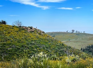
Ocean Overlook Loop Trail
4.02.7 mi / 397 ft gainOcean Overlook Loop Trail is a loop trail where you may see beautiful wildflowers located near Malibu, California.Read more -
Chino Hills, California
Adobe Loop
3.01.92 mi / 312 ft gainThe best place to park for this hike is at Hunter's Hill park. From there, the trailhead is located on Natalie Road just South of the park. There is a large sign marking the start of the trail, but it does not give a name for either the trail head or the trail itself. For reference, it is the But...Read more -
Llano, California
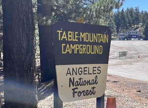
Table Mountain Campground
Table Mountain Campground is a hilly campground that offers ADA-accessible sites, pit toilets, fire rings, picnic tables, BB! grill, water, and parking spaces for a two-car limit. Rules are strictly enforced, which is great, so we can enjoy nature and not someone’s party/music. Book your campgro...Read more -
Mount Baldy, California
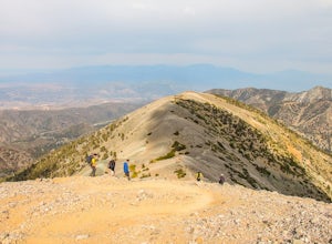
Mt. San Antonio (Mt. Baldy) via the Ski Hut Trail
5.09.7 mi / 3990 ft gainMt. San Antonio, or Mt. Baldy as it is known locally, is one of the cans of the challenging "six-pack of peaks" in Southern California. For this one, start before the Manker campground and head up the fire road. This is known as the "Baldy Bowl or Ski-Hut Trail". You'll see some cabins on your l...Read more -
Thousand Oaks, California
Hiking Wildwood Regional Park
3.8Wildwood Regional Park is open year-round, easily accessible, and offers great routes for hiking, running, biking, and even horseback riding. There are also two waterfalls inside the park—the larger of the two, Paradise Falls, cascades 40 feet into a large pool. To catch some beautiful views of t...Read more -
Thousand Oaks, California
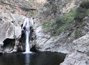
Paradise Falls Loop
4.32.26 mi / 300 ft gainThe hike to Paradise Falls is about 1.5 miles one way with around 300 feet elevation change. Take it easy starting the hike because the real challenge is the change in elevation going back to your car since you'll be going uphill. At the trailhead, follow the signs indicating the location of Para...Read more -
Westlake Village, California
Climb at Echo Cliffs
1.3 miThe hike to the crag is about 1.3 miles one way and takes roughly 45 minutes. The approach starts at the Backbone / Mishe Mokwa trail head off Yerba Buena Rd. After walking a couple minutes you'll see a sign pointing left for the backbone trail or straight for Mishe Mokwa. Continue straight and ...Read more -
Malibu, California
Sandstone Peak
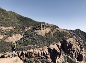
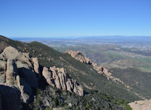
4.83.03 mi / 971 ft gainIf you live in Los Angeles, Sandstone Peak is a must! The hike to the summit can be done on a 2 mile hike up and back on Sandstone Peak Trail, or a 6.5 mile hike up and back on Backbone Trail. The shorter trail is more popular, yet both are equally rewarding. You won't believe the views from the...Read more -
Malibu, California
Balanced Rock via Sandstone Trailhead
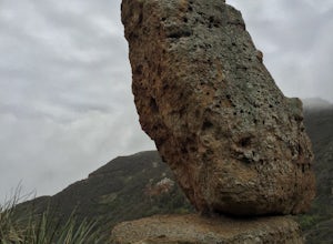
5.04.36 mi / 1125 ft gain...From the PCH, make a left turn on Yerba Buena road (turn right if you're coming South) for about 6 miles until you get to the dirt parking area. If the lot is full, there's extra parking on the side of the road. FYI, Balanced Rock can also be accessed by starting at the Mishe Mokwa trailhead,...Read more -
12869 Yerba Buena Road, California
Mishe Mokwa Trail to Sandstone Peak
5.07.06 mi / 1755 ft gainTake Yerba Buena road to the trailhead. It is less zigzagged and shorter distance from PCH. Parking is easy provided that you start early in the morning. If the lot is full, you can always park on the side of the road. Bathroom is available at Sandstone Peak Trailhead parking lot, just 0.8 miles ...Read more -
Malibu, California
Grotto Trail
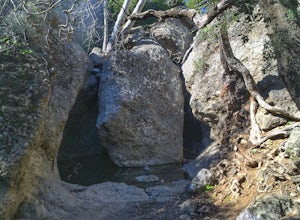
2.64 mi / 492 ft gainWho doesn't enjoy a hike that offers water, scenic views, boulder hopping and a subterranean cave? I know I do! The Grotto Trail begins at Circle X Ranch, which looks a bit like a small cowboy western store, and is approximately 6 miles from the Highway 1 (PCH). The parking is a tad tight, fittin...Read more -
Malibu, California
Leo Carillo State Beach
4.5Leo Carrillo State Park has 1.5 miles of two sandy beach areas, tide pools, and numerous coves and sea caves. This year-round paradise offers privacy and ocean access for anglers, divers, surfers, wildlife watchers, beachcombers, and campers. If you're headed here for day-use, there are also tide...Read more -
Newbury Park, California
Boney Peak
4.012.04 mi / 3025 ft gainThe hike begins at the parking lot for Rancho Sierra Vista in Newbury Park, CA just outside LA. Pull into the parking lot and walk on the dirt road until you see the trail for Boney Peak. It is easy to find because the peak can be seen from the beginning of the trail. The trail is generally an in...Read more -
Ventura County, California
Sycamore Canyon Falls
3.3 mi / 545 ft gain...When arriving in the Santa Monica Mountains Recreational Area, take the drive and park at Sycamore Canyon parking lot. Parking is free and also offers restrooms and some history about the park. Follow the trailhead South until you come to the Satwiwa Culture Center on your left and a dome-like...Read more -
Lancaster, California
Antelope Valley Poppy Reserve
5.02 mi / 900 ft gainIf you're going during wildflower season, start your adventure at the visitors center at the end of 150th St. W. Parking in the lot outside the visitors center is $10, but there is ample street parking that is free. In the visitors center you can read more about the reserve, plan your hike, and s...Read more -
Newport Beach, California
Newport Beach Back Bay Trail
4.010.62 mi / 499 ft gainThe Newport Beach Back Bay Trail features beautiful wildflowers and is open for use year round. Very minimal elevation gain makes this hike food for all skill levels, but be mindful of the distance. Dogs are allowed on the trail but must be kept on leash. Cooling sea breezes make this one of th...Read more

